1640 Mockingbird Ln Pontiac, IL 61764
Estimated Value: $341,000 - $372,589
4
Beds
3
Baths
2,434
Sq Ft
$145/Sq Ft
Est. Value
About This Home
This home is located at 1640 Mockingbird Ln, Pontiac, IL 61764 and is currently estimated at $353,530, approximately $145 per square foot. 1640 Mockingbird Ln is a home located in Livingston County with nearby schools including Central Elementary School, Lincoln Elementary School, and Washington Elementary School.
Ownership History
Date
Name
Owned For
Owner Type
Purchase Details
Closed on
Oct 29, 2012
Sold by
Johnson Leo
Bought by
Petal Jayshree and Patel Rajesh
Current Estimated Value
Home Financials for this Owner
Home Financials are based on the most recent Mortgage that was taken out on this home.
Original Mortgage
$224,000
Interest Rate
3.56%
Create a Home Valuation Report for This Property
The Home Valuation Report is an in-depth analysis detailing your home's value as well as a comparison with similar homes in the area
Home Values in the Area
Average Home Value in this Area
Purchase History
| Date | Buyer | Sale Price | Title Company |
|---|---|---|---|
| Petal Jayshree | $280,000 | -- |
Source: Public Records
Mortgage History
| Date | Status | Borrower | Loan Amount |
|---|---|---|---|
| Closed | Petal Jayshree | $20,000 | |
| Previous Owner | Petal Jayshree | $224,000 |
Source: Public Records
Tax History
| Year | Tax Paid | Tax Assessment Tax Assessment Total Assessment is a certain percentage of the fair market value that is determined by local assessors to be the total taxable value of land and additions on the property. | Land | Improvement |
|---|---|---|---|---|
| 2024 | $10,034 | $114,527 | $12,520 | $102,007 |
| 2023 | $9,739 | $107,135 | $11,712 | $95,423 |
| 2022 | $8,695 | $92,460 | $11,712 | $80,748 |
| 2021 | $8,433 | $88,904 | $11,262 | $77,642 |
| 2020 | $8,339 | $86,230 | $10,923 | $75,307 |
| 2019 | $8,124 | $82,454 | $10,445 | $72,009 |
| 2018 | $8,081 | $82,599 | $10,550 | $72,049 |
| 2017 | $8,050 | $82,516 | $10,539 | $71,977 |
| 2016 | $8,093 | $83,518 | $10,667 | $72,851 |
| 2015 | $8,175 | $83,518 | $10,667 | $72,851 |
| 2013 | -- | $87,999 | $11,431 | $76,568 |
Source: Public Records
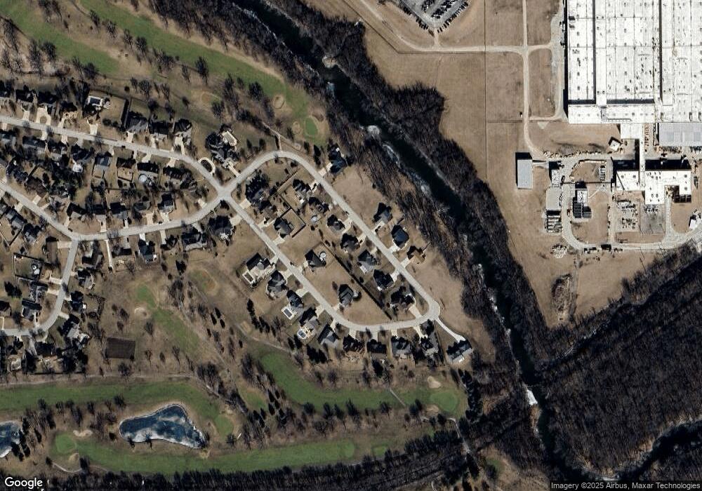
Map
Nearby Homes
- 1635 Mockingbird Ln
- 1309 W Indian Dr
- 43 Crystal Ct Unit B-1
- 25 Crystal Ct Unit D1
- 44 Crystal Ct Unit B-2
- 606 Carol Ct Unit B-2
- 115 Park Estate Ave Unit 115
- 119 Village Ave
- 69 American Ave Unit 69
- 733 W Prairie St
- 74 Slavic Ave Unit 74
- 32 Westwood Ave Unit 32
- 811 W South St
- 618 W Sherman Ave
- Lot 14 W Sherman Ave
- 16780 N 1130 E Rd
- 945 N Mill St
- 765 N Main St
- 610 S Oak St
- 319 W Moulton St
- 1634 Mockingbird Ln
- 1644 Mockingbird Ln
- 1638 Mockingbird Ln
- 1642 Mockingbird Ln
- Lot 62 Mockingbird Ln
- Lot 57 Mockingbird Ln
- Lot 63 Mockingbird Ln
- Lot 58 Mockingbird Ln
- Lot 61 Mockingbird Ln
- Lot 60 Mockingbird Ln
- Lot 59 Mockingbird Ln
- 1641 Mockingbird Ln
- 1646 Mockingbird Ln
- 1647 Mockingbird Ln
- 1631 Mockingbird Ln
- 1637 Mockingbird Ln
- 1614 W Meadowlark Dr
- 1621 W Meadowlark Dr
- 1313 Mocking Bird Ln
- 1602 W Meadowlark Dr
Your Personal Tour Guide
Ask me questions while you tour the home.