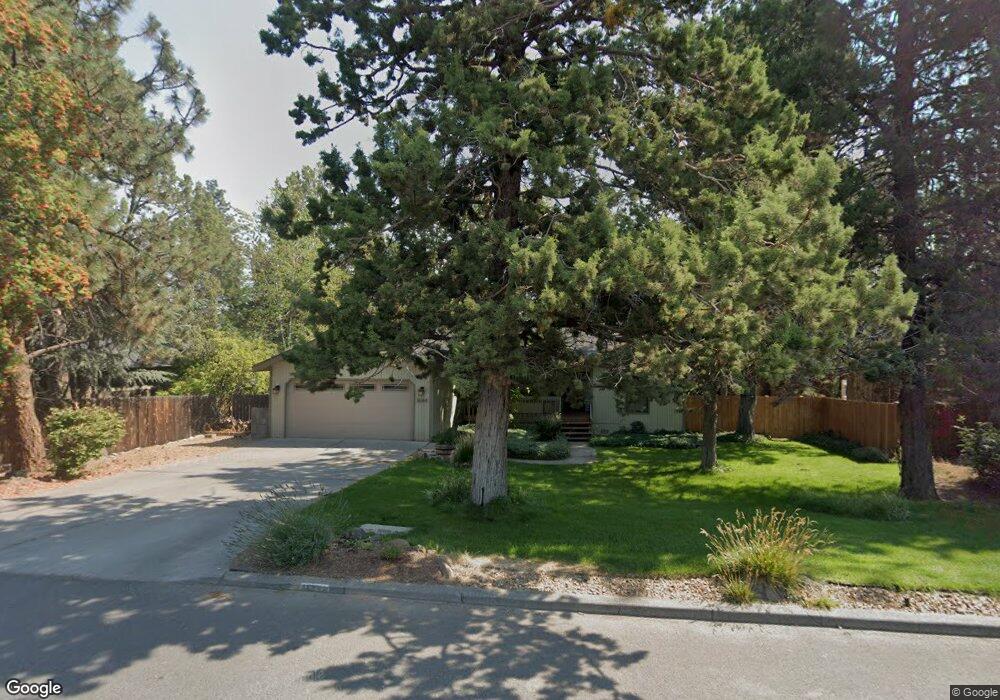
1644 NE Shepard Rd Bend, OR 97701
Orchard District NeighborhoodEstimated Value: $564,000 - $628,000
3
Beds
2
Baths
1,413
Sq Ft
$420/Sq Ft
Est. Value
About This Home
This home is located at 1644 NE Shepard Rd, Bend, OR 97701 and is currently estimated at $592,807, approximately $419 per square foot. 1644 NE Shepard Rd is a home located in Deschutes County with nearby schools including Juniper Elementary School, Pilot Butte Middle School, and Bend Senior High School.
Ownership History
Date
Name
Owned For
Owner Type
Purchase Details
Closed on
Sep 26, 2006
Sold by
Aldinger Gary W and Aldinger Edith C
Bought by
Ehlinger Seth M and Ehlinger Coreen E
Current Estimated Value
Home Financials for this Owner
Home Financials are based on the most recent Mortgage that was taken out on this home.
Original Mortgage
$260,000
Outstanding Balance
$154,140
Interest Rate
6.53%
Mortgage Type
Unknown
Estimated Equity
$438,667
Create a Home Valuation Report for This Property
The Home Valuation Report is an in-depth analysis detailing your home's value as well as a comparison with similar homes in the area
Home Values in the Area
Average Home Value in this Area
Purchase History
| Date | Buyer | Sale Price | Title Company |
|---|---|---|---|
| Ehlinger Seth M | $325,000 | Western Title & Escrow Co |
Source: Public Records
Mortgage History
| Date | Status | Borrower | Loan Amount |
|---|---|---|---|
| Open | Ehlinger Seth M | $260,000 |
Source: Public Records
Tax History
| Year | Tax Paid | Tax Assessment Tax Assessment Total Assessment is a certain percentage of the fair market value that is determined by local assessors to be the total taxable value of land and additions on the property. | Land | Improvement |
|---|---|---|---|---|
| 2025 | $4,012 | $237,430 | -- | -- |
| 2024 | $3,860 | $230,520 | -- | -- |
| 2023 | $3,578 | $223,810 | $0 | $0 |
| 2022 | $3,338 | $210,980 | $0 | $0 |
| 2021 | $3,344 | $204,840 | $0 | $0 |
| 2020 | $3,172 | $204,840 | $0 | $0 |
| 2019 | $3,084 | $198,880 | $0 | $0 |
| 2018 | $2,997 | $193,090 | $0 | $0 |
| 2017 | $2,909 | $187,470 | $0 | $0 |
| 2016 | $2,774 | $182,010 | $0 | $0 |
| 2015 | $2,697 | $176,710 | $0 | $0 |
| 2014 | $2,618 | $171,570 | $0 | $0 |
Source: Public Records
Map
Nearby Homes
- 1419 NE Lucinda Ct
- 1696 NE Lotus Dr
- 1801 NE Shadowcrest Way
- 1785 NE Janice Way
- 2154 NE Shepard Rd
- 990 NE Wiest Way
- 1401 NE 10th St
- 980 NE Norton Ave Unit Lot 8
- 1532 NE 9th St
- 940 NE Norton Ave Unit Lot 4
- 1801 NE Purcell Blvd Unit 20
- 2109 NE 11th Place
- 1304 NE Watson Dr
- 832 NE Revere Ave
- 1334 NE 8th St
- 2044 NE Full Moon Dr
- 1119 NE 9th St
- 1699 NE Sonya Ct
- 1382 NE Drost Dr
- 924 NE 9th St
- 1626 NE Shepard Rd
- 1645 NE Shepard Rd
- 1627 NE Shepard Rd
- 1610 NE Shepard Rd
- 1611 NE Shepard Rd
- 1677 NE Eastwood Dr
- 1629 NE Eastwood Dr
- 1643 NE Eastwood Dr
- 1665 NE Shepard Rd
- 1609 NE Eastwood Dr
- 1605 NE Daphne Ct
- 1612 NE Daphne Ct
- 1686 NE Eastwood Dr
- 1683 NE Shepard Rd
- 1694 NE Eastwood Dr
- 1629 NE Daphne Ct
- 1628 NE Eastwood Dr
- 1644 NE Eastwood Dr
- 1624 NE Daphne Ct
- 1648 NE Eastwood Dr
Your Personal Tour Guide
Ask me questions while you tour the home.