16498 Davis Rd Dundee, MI 48131
Estimated Value: $142,000 - $316,000
Studio
--
Bath
--
Sq Ft
1.6
Acres Lot
About This Home
This home is located at 16498 Davis Rd, Dundee, MI 48131 and is currently estimated at $231,050. 16498 Davis Rd is a home located in Monroe County with nearby schools including Dundee Middle School, Dundee Elementary School, and Dundee Community High School.
Ownership History
Date
Name
Owned For
Owner Type
Purchase Details
Closed on
Jan 21, 2016
Sold by
Fairchild Hugh Edward and Fairchild Sharon
Bought by
Adams Brad M and Adams Monica M
Current Estimated Value
Home Financials for this Owner
Home Financials are based on the most recent Mortgage that was taken out on this home.
Original Mortgage
$128,250
Outstanding Balance
$101,861
Interest Rate
4%
Mortgage Type
New Conventional
Estimated Equity
$129,189
Create a Home Valuation Report for This Property
The Home Valuation Report is an in-depth analysis detailing your home's value as well as a comparison with similar homes in the area
Home Values in the Area
Average Home Value in this Area
Purchase History
We collect this data history from publicly available records. To have your information removed, we recommend requesting removal directly through your county’s website.
| Date | Buyer | Sale Price | Title Company |
|---|---|---|---|
| Adams Brad M | $135,000 | Hassett Title |
Source: Public Records
Mortgage History
We collect this data history from publicly available records. To have your information removed, we recommend requesting removal directly through your county’s website.
| Date | Status | Borrower | Loan Amount |
|---|---|---|---|
| Open | Adams Brad M | $128,250 |
Source: Public Records
Tax History
| Year | Tax Paid | Tax Assessment Tax Assessment Total Assessment is a certain percentage of the fair market value that is determined by local assessors to be the total taxable value of land and additions on the property. | Land | Improvement |
|---|---|---|---|---|
| 2025 | $842 | $98,600 | $98,600 | $0 |
| 2024 | $816 | $94,810 | $0 | $0 |
| 2023 | $1,990 | $73,350 | $0 | $0 |
| 2022 | $741 | $73,350 | $0 | $0 |
| 2021 | $1,920 | $76,780 | $0 | $0 |
| 2020 | $1,893 | $67,590 | $0 | $0 |
| 2019 | $694 | $67,590 | $0 | $0 |
| 2018 | $1,820 | $60,870 | $0 | $0 |
| 2017 | $1,724 | $60,870 | $0 | $0 |
| 2016 | $1,318 | $59,000 | $0 | $0 |
| 2015 | $1,310 | $47,370 | $0 | $0 |
| 2014 | $1,293 | $47,370 | $0 | $0 |
| 2013 | $1,330 | $45,050 | $0 | $0 |
Source: Public Records
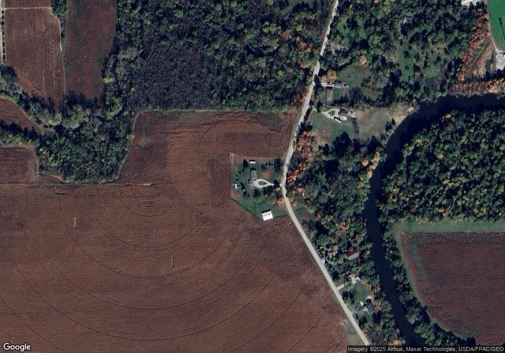
Map
Nearby Homes
- 453 Corinth
- 217 Potterstone Dr
- 0 Washington St Unit 20261021371
- 150 Waterstradt Commerce Dr
- 1353 W Lloyd Rd
- 0 Tecumseh St
- 16484 Tecumseh St
- 454 Tecumseh St
- 16488 Tecumseh St
- 607 Toledo St
- 371 Washington St
- 127 Barnum St
- 244 Cass St
- 190 Sidney St
- 14725 Dixon Rd
- 264 Ypsilanti St
- 403 E Monroe St
- 5064 Mallory St
- 5033 Wilshire Dr Unit 68
- 691 Foxworth St
- 16647 Davis Rd
- 16669 Davis Rd
- 16305 Davis Rd
- 16703 Brewer Rd
- 16805 Brewer Rd
- 16330 Brewer Rd
- 16330 Brewer Rd
- 16330 Brewer Rd
- 615 Ridge Point Dr
- 16299 Brewer Rd
- 16241 Brewer Rd
- 619 Ridge Point Dr
- 611 Ridge Point Dr
- 16910 Brewer Rd
- 610 Ridge Point Dr
- 610 Ridge Point Dr
- 16280 Brewer Rd
- 16280 Brewer Rd
- 607 Ridge Point Dr
- 606 Ridge Point Dr
Your Personal Tour Guide
Ask me questions while you tour the home.