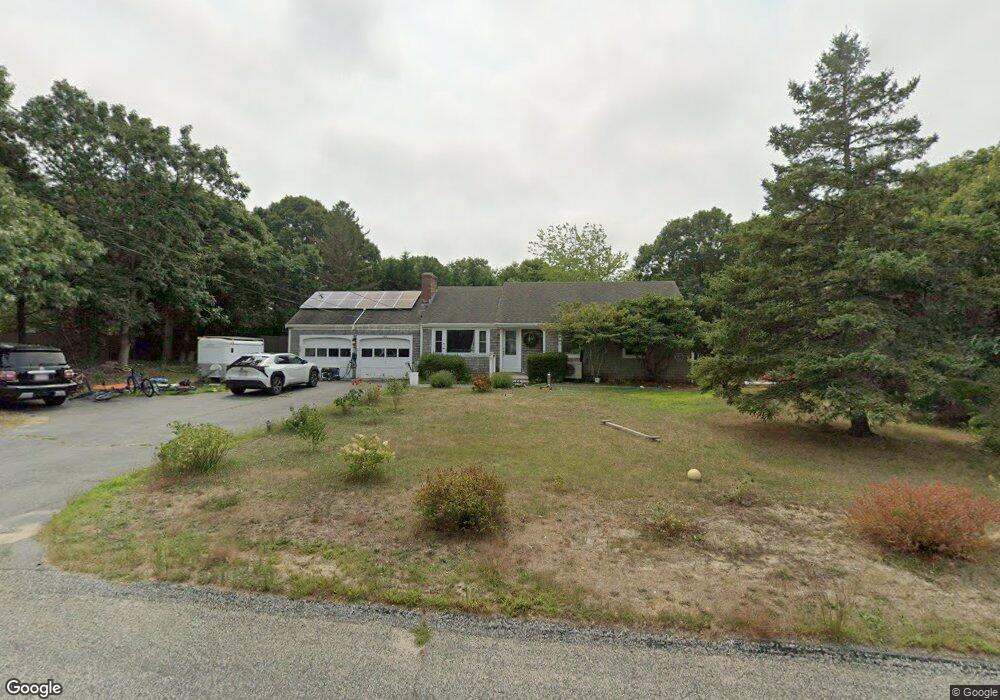
165 N Sunken Meadow Rd Eastham, MA 02642
Estimated Value: $570,000 - $727,000
2
Beds
1
Bath
1,001
Sq Ft
$644/Sq Ft
Est. Value
About This Home
This home is located at 165 N Sunken Meadow Rd, Eastham, MA 02642 and is currently estimated at $644,529, approximately $643 per square foot. 165 N Sunken Meadow Rd is a home located in Barnstable County with nearby schools including Eastham Elementary School, Nauset Regional Middle School, and Nauset Regional High School.
Ownership History
Date
Name
Owned For
Owner Type
Purchase Details
Closed on
Jul 12, 2001
Sold by
Ola R Warren Ret and Gaylord Marilyn Warren
Bought by
Caton Jeffrey E
Current Estimated Value
Home Financials for this Owner
Home Financials are based on the most recent Mortgage that was taken out on this home.
Original Mortgage
$202,300
Interest Rate
7.2%
Mortgage Type
Purchase Money Mortgage
Create a Home Valuation Report for This Property
The Home Valuation Report is an in-depth analysis detailing your home's value as well as a comparison with similar homes in the area
Home Values in the Area
Average Home Value in this Area
Purchase History
We collect this data history from publicly available records. To have your information removed, we recommend requesting removal directly through your county’s website.
| Date | Buyer | Sale Price | Title Company |
|---|---|---|---|
| Caton Jeffrey E | $225,000 | -- |
Source: Public Records
Mortgage History
We collect this data history from publicly available records. To have your information removed, we recommend requesting removal directly through your county’s website.
| Date | Status | Borrower | Loan Amount |
|---|---|---|---|
| Open | Caton Jeffrey E | $206,000 | |
| Closed | Caton Jeffrey E | $202,300 |
Source: Public Records
Tax History
| Year | Tax Paid | Tax Assessment Tax Assessment Total Assessment is a certain percentage of the fair market value that is determined by local assessors to be the total taxable value of land and additions on the property. | Land | Improvement |
|---|---|---|---|---|
| 2025 | $4,069 | $527,700 | $263,500 | $264,200 |
| 2024 | $3,591 | $512,300 | $255,800 | $256,500 |
| 2023 | $3,282 | $453,300 | $236,900 | $216,400 |
| 2022 | $2,964 | $345,400 | $190,400 | $155,000 |
| 2021 | $2,899 | $315,800 | $173,000 | $142,800 |
| 2020 | $2,722 | $312,100 | $176,600 | $135,500 |
| 2019 | $2,516 | $305,000 | $171,500 | $133,500 |
| 2018 | $2,488 | $298,000 | $166,500 | $131,500 |
| 2017 | $2,321 | $293,800 | $163,200 | $130,600 |
| 2016 | $2,115 | $284,300 | $154,100 | $130,200 |
| 2015 | $1,982 | $279,200 | $151,100 | $128,100 |
Source: Public Records
Map
Nearby Homes
- 125 Wamsutta Rd
- 95 Toland Dr
- 495 Aspinet Rd
- 190 Serb St
- 1295 Massasoit Rd
- 1230 Massasoit Rd
- 50 Silver Oak Rd
- 18 Jay Dee Ln
- 5470 State Hwy
- 25 Oakwood Rd
- 11 Whelpley Rd
- 311 S Sunken Meadow Rd
- 190 Silver Spring Beach Rd
- 2560 Nauset Rd
- 20 Oak Rd
- 65 Harmes Way
- 111 Spring Brook Rd
- 255 Epanow Rd
- 300 Brackett Rd
- 90 Rolling Ln
- 110 Wamsutta Rd
- 80 Wamsutta Rd
- 145 N Sunken Meadow Rd
- 105 Wamsutta Rd
- 60 Wamsutta Rd
- 125 N Sunken Meadow Rd
- 125 N North Sunken Meadow Rd
- 85 Wamsutta Rd
- 150 N Sunken Meadow Rd
- 110 Pine Needle Ln
- 40 Wamsutta Rd
- 65 Wamsutta Rd
- 75 N Sunken Meadow Rd
- 45 Wamsutta Rd
- 245 N Sunken Meadow Rd
- 170 N Sunken Meadow Rd
- 3 Quarterboard Ln
- 190 N Sunken Meadow Rd
- 300 Aspinet Rd
- 25 Wamsutta Rd
Your Personal Tour Guide
Ask me questions while you tour the home.