166 Appian Way Coventry, CT 06238
Estimated Value: $728,000 - $952,000
4
Beds
4
Baths
4,436
Sq Ft
$198/Sq Ft
Est. Value
About This Home
This home is located at 166 Appian Way, Coventry, CT 06238 and is currently estimated at $877,243, approximately $197 per square foot. 166 Appian Way is a home located in Tolland County with nearby schools including Coventry Grammar School, George Hersey Robertson School, and Capt. Nathan Hale School.
Ownership History
Date
Name
Owned For
Owner Type
Purchase Details
Closed on
Jul 20, 2010
Sold by
Maheu Philip
Bought by
Maheu Philip and Maheu Holly A
Current Estimated Value
Purchase Details
Closed on
Mar 18, 2009
Sold by
Imperial Dev Llc
Bought by
Maheu Philip
Create a Home Valuation Report for This Property
The Home Valuation Report is an in-depth analysis detailing your home's value as well as a comparison with similar homes in the area
Home Values in the Area
Average Home Value in this Area
Purchase History
We collect this data history from publicly available records. To have your information removed, we recommend requesting removal directly through your county’s website.
| Date | Buyer | Sale Price | Title Company |
|---|---|---|---|
| Maheu Philip | -- | -- | |
| Maheu Philip | $118,500 | -- | |
| Maheu Philip | -- | -- | |
| Maheu Philip | $118,500 | -- |
Source: Public Records
Mortgage History
We collect this data history from publicly available records. To have your information removed, we recommend requesting removal directly through your county’s website.
| Date | Status | Borrower | Loan Amount |
|---|---|---|---|
| Open | Maheu Philip | $360,000 |
Source: Public Records
Tax History
| Year | Tax Paid | Tax Assessment Tax Assessment Total Assessment is a certain percentage of the fair market value that is determined by local assessors to be the total taxable value of land and additions on the property. | Land | Improvement |
|---|---|---|---|---|
| 2025 | $14,748 | $620,700 | $92,900 | $527,800 |
| 2024 | $12,128 | $364,100 | $75,800 | $288,300 |
| 2023 | $11,557 | $364,100 | $75,800 | $288,300 |
| 2022 | $11,342 | $364,100 | $75,800 | $288,300 |
| 2021 | $11,342 | $364,100 | $75,800 | $288,300 |
| 2020 | $11,349 | $364,100 | $75,800 | $288,300 |
| 2019 | $12,542 | $389,500 | $75,800 | $313,700 |
| 2018 | $12,020 | $373,300 | $73,200 | $300,100 |
| 2017 | $11,946 | $373,300 | $73,200 | $300,100 |
| 2016 | $11,444 | $366,800 | $73,200 | $293,600 |
| 2015 | $11,039 | $353,800 | $73,200 | $280,600 |
| 2014 | $11,026 | $387,300 | $82,700 | $304,600 |
Source: Public Records
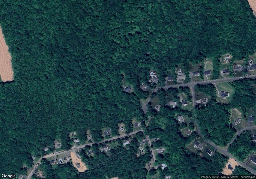
Map
Nearby Homes
- 37 Wolf Hill Rd Unit Lot 40
- 37 Wolf Hill Lot (#40) Rd
- 0 Boston Turnpike Unit 24128587
- 132 Skyview Dr
- 361 Dunn Rd
- 2582 Boston Turnpike
- 14 Joshua Ln
- 198 N Farms Rd
- 67 Pine Hill Rd
- 82 Bolton Branch Rd
- 6 High Meadow Rd
- 9 Deer Hill Ln
- 6 Miller Rd
- 100 New Rd
- 1191 Boston Turnpike
- 2880 Main St
- 471 Goose Ln
- 20 Wildwood Rd
- 109 Sam Green Rd
- 312 Gehring Rd
- 158 Appian Way
- 235 N School Rd
- 397 Mark Dr
- 379 Mark Dr
- 142 Appian Way
- 169 Appian Way
- 355 Mark Dr
- 136 Appian Way
- 141 Appian Way Unit 19
- 141 Appian Way
- 331 Mark Dr
- 354 Mark Dr
- 18 Maryanne Dr
- 119 Wolf Hill Rd
- 9 Maryanne Dr
- 125 Appian Way Unit 18
- 125 Appian Way
- 122 Appian Way
- 122 Appian Way Unit 5
- 328 Mark Dr
Your Personal Tour Guide
Ask me questions while you tour the home.