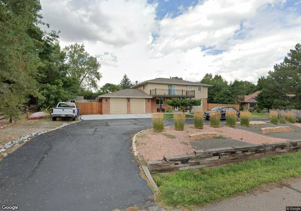
16613 W 73rd Ave Arvada, CO 80007
Quaker Acres NeighborhoodEstimated Value: $948,171 - $1,015,000
4
Beds
5
Baths
2,557
Sq Ft
$382/Sq Ft
Est. Value
About This Home
This home is located at 16613 W 73rd Ave, Arvada, CO 80007 and is currently estimated at $977,793, approximately $382 per square foot. 16613 W 73rd Ave is a home located in Jefferson County with nearby schools including West Woods Elementary School, Drake Junior High School, and Ralston Valley Senior High School.
Ownership History
Date
Name
Owned For
Owner Type
Purchase Details
Closed on
Feb 24, 2000
Sold by
Polikoff Dennis J Vann Lisa J
Bought by
Gillespie Steven J and Gillespie Catherine M
Current Estimated Value
Home Financials for this Owner
Home Financials are based on the most recent Mortgage that was taken out on this home.
Original Mortgage
$240,000
Outstanding Balance
$71,881
Interest Rate
8.19%
Estimated Equity
$905,912
Create a Home Valuation Report for This Property
The Home Valuation Report is an in-depth analysis detailing your home's value as well as a comparison with similar homes in the area
Home Values in the Area
Average Home Value in this Area
Purchase History
We collect this data history from publicly available records. To have your information removed, we recommend requesting removal directly through your county’s website.
| Date | Buyer | Sale Price | Title Company |
|---|---|---|---|
| Gillespie Steven J | $330,300 | -- |
Source: Public Records
Mortgage History
We collect this data history from publicly available records. To have your information removed, we recommend requesting removal directly through your county’s website.
| Date | Status | Borrower | Loan Amount |
|---|---|---|---|
| Open | Gillespie Steven J | $240,000 |
Source: Public Records
Tax History
| Year | Tax Paid | Tax Assessment Tax Assessment Total Assessment is a certain percentage of the fair market value that is determined by local assessors to be the total taxable value of land and additions on the property. | Land | Improvement |
|---|---|---|---|---|
| 2025 | $5,603 | $61,557 | $26,059 | $35,498 |
| 2024 | $4,482 | $47,071 | $24,406 | $22,665 |
| 2023 | $4,482 | $47,071 | $24,406 | $22,665 |
| 2022 | $4,014 | $41,449 | $17,810 | $23,639 |
| 2021 | $4,271 | $42,641 | $18,322 | $24,319 |
| 2020 | $3,876 | $38,151 | $12,934 | $25,217 |
| 2019 | $3,822 | $38,151 | $12,934 | $25,217 |
| 2018 | $4,008 | $38,855 | $14,110 | $24,745 |
| 2017 | $3,683 | $38,855 | $14,110 | $24,745 |
| 2016 | $3,544 | $35,255 | $10,253 | $25,002 |
| 2015 | $3,349 | $35,255 | $10,253 | $25,002 |
| 2014 | $3,349 | $31,330 | $10,531 | $20,799 |
Source: Public Records
Map
Nearby Homes
- 16547 W 73rd Dr
- 7028 Russell Ct
- 7654 Umber Ct
- 7625 Russell Ct
- 7734 Quartz St
- 16949 W 68th Place
- 6978 Noble Ct
- 6766 Salvia Ct
- 6761 Westwoods Cir
- 7768 Virgil Ct
- 17238 W 78th Dr
- 6622 Salvia Ct
- 15300 W 69th Cir Unit A
- 16535 W 79th Dr
- 15344 W 69th Ave
- 15280 W 69th Cir Unit B
- 15313 W 69th Ave
- 15337 W 68th Loop
- 15339 W 68th Loop
- 15343 W 68th Loop
- 16593 W 73rd Ave
- 16693 W 73rd Ave
- 16608 W 73rd Dr
- 7287 Rogers St
- 16588 W 73rd Dr
- 16648 W 73rd Dr
- 16563 W 73rd Ave
- 16743 W 73rd Ave
- 16584 W 73rd Ave
- 7292 Russell Ct
- 16548 W 73rd Dr
- 16688 W 73rd Dr
- 7267 Rogers St
- 16523 W 73rd Ave
- 7266 Rogers St
- 7272 Russell Ct
- 7285 Quartz St
- 16637 W 73rd Dr
- 16597 W 73rd Dr
- 16518 W 73rd Dr
Your Personal Tour Guide
Ask me questions while you tour the home.