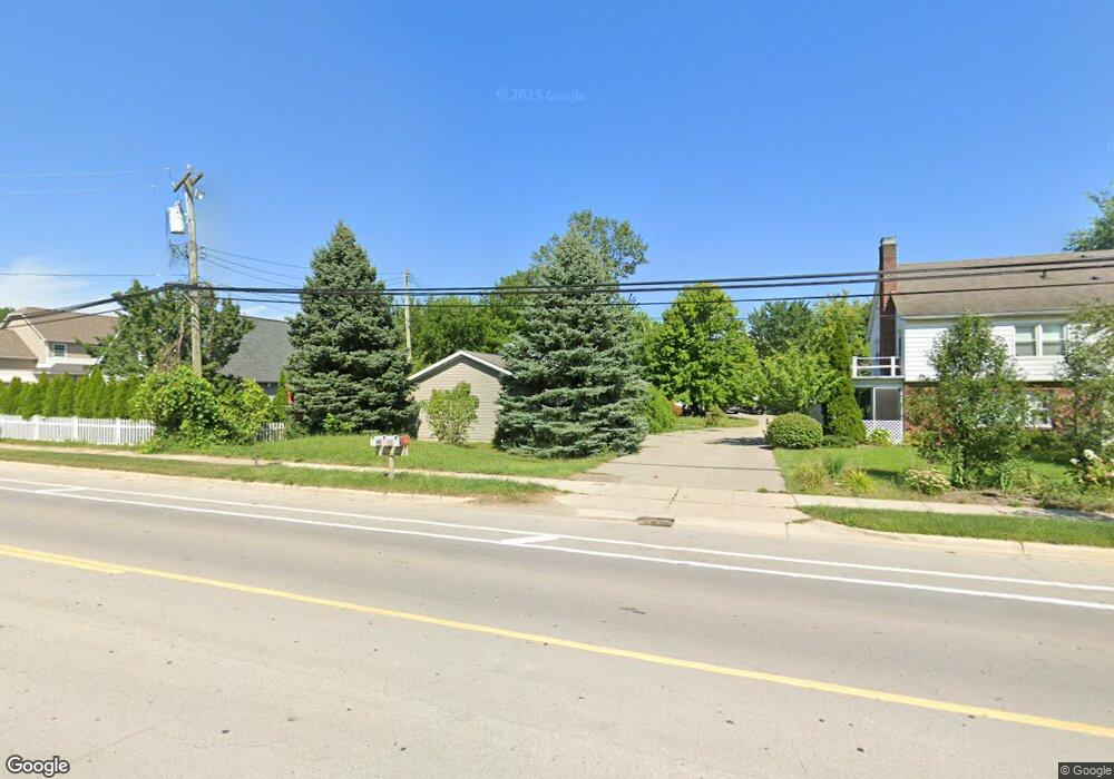
1664 N Maple Rd Ann Arbor, MI 48103
Garden Homes NeighborhoodEstimated Value: $379,000 - $542,000
3
Beds
2
Baths
1,680
Sq Ft
$271/Sq Ft
Est. Value
About This Home
This home is located at 1664 N Maple Rd, Ann Arbor, MI 48103 and is currently estimated at $455,238, approximately $270 per square foot. 1664 N Maple Rd is a home located in Washtenaw County with nearby schools including Wines Elementary School, Forsythe Middle School, and Skyline High School.
Ownership History
Date
Name
Owned For
Owner Type
Purchase Details
Closed on
Feb 5, 2009
Sold by
Citimortgage Inc
Bought by
Federal National Mortgage Association
Current Estimated Value
Purchase Details
Closed on
Mar 25, 2003
Sold by
Stokes Don Court and Stokes Marianne P
Bought by
Soto Carlos and Hopp Paola
Purchase Details
Closed on
Dec 28, 2001
Sold by
Thaler Andrew R
Bought by
Don Court Stokes
Create a Home Valuation Report for This Property
The Home Valuation Report is an in-depth analysis detailing your home's value as well as a comparison with similar homes in the area
Home Values in the Area
Average Home Value in this Area
Purchase History
| Date | Buyer | Sale Price | Title Company |
|---|---|---|---|
| Federal National Mortgage Association | -- | None Available | |
| Citimortgage Inc | $93,554 | None Available | |
| Soto Carlos | $166,000 | -- | |
| Don Court Stokes | $162,000 | -- |
Source: Public Records
Tax History
| Year | Tax Paid | Tax Assessment Tax Assessment Total Assessment is a certain percentage of the fair market value that is determined by local assessors to be the total taxable value of land and additions on the property. | Land | Improvement |
|---|---|---|---|---|
| 2025 | $5,633 | $248,400 | $0 | $0 |
| 2024 | $5,494 | $214,800 | $0 | $0 |
| 2023 | $5,066 | $197,100 | $0 | $0 |
| 2022 | $5,520 | $203,100 | $0 | $0 |
| 2021 | $5,390 | $191,800 | $0 | $0 |
| 2020 | $5,281 | $174,000 | $0 | $0 |
| 2019 | $5,026 | $152,500 | $152,500 | $0 |
| 2018 | $4,955 | $131,700 | $0 | $0 |
| 2017 | $4,820 | $136,600 | $0 | $0 |
| 2016 | $4,650 | $96,390 | $0 | $0 |
| 2015 | $4,429 | $96,102 | $0 | $0 |
| 2014 | $4,429 | $93,100 | $0 | $0 |
| 2013 | -- | $93,100 | $0 | $0 |
Source: Public Records
Map
Nearby Homes
- 2612 Miller Ave
- 1390 Patricia Ave Unit 17
- 2425 Miller Ave
- 1114 N Maple Rd
- 2105 Foss Ct
- 2133 N Circle Dr
- 1031 Duncan St
- 1025 Duncan St
- 1003 Western Dr
- 2269 S Circle Dr
- 1007 Duncan St
- 630 Archwood Dr
- 665 Vine Ct
- 795 N Maple Rd
- 785 N Maple Rd
- 2221 Walter Dr
- 755 N Maple Rd
- 656 Barber Ave
- 706 Leona Dr
- 597 Kuehnle Ave
- 1652 N Maple Rd
- 1680 Enclave Ln
- 1686 Enclave Ln
- 1660 N Maple Rd
- 1656 N Maple Rd
- 1630 N Maple Rd
- 1716 Enclave Ln
- 1692 Enclave Ln
- 1718 Enclave Ln
- 1634 N Maple Rd
- 1720 Enclave Ln
- 1647 Franklin St
- 1728 N Maple Rd
- 1698 Enclave Ln
- 1724 Enclave Ln
- 1631 Franklin St
- 1633 N Maple Rd
- 1633 N Maple Rd
- 1649 N Maple Rd
- 1756 N Maple Rd
Your Personal Tour Guide
Ask me questions while you tour the home.