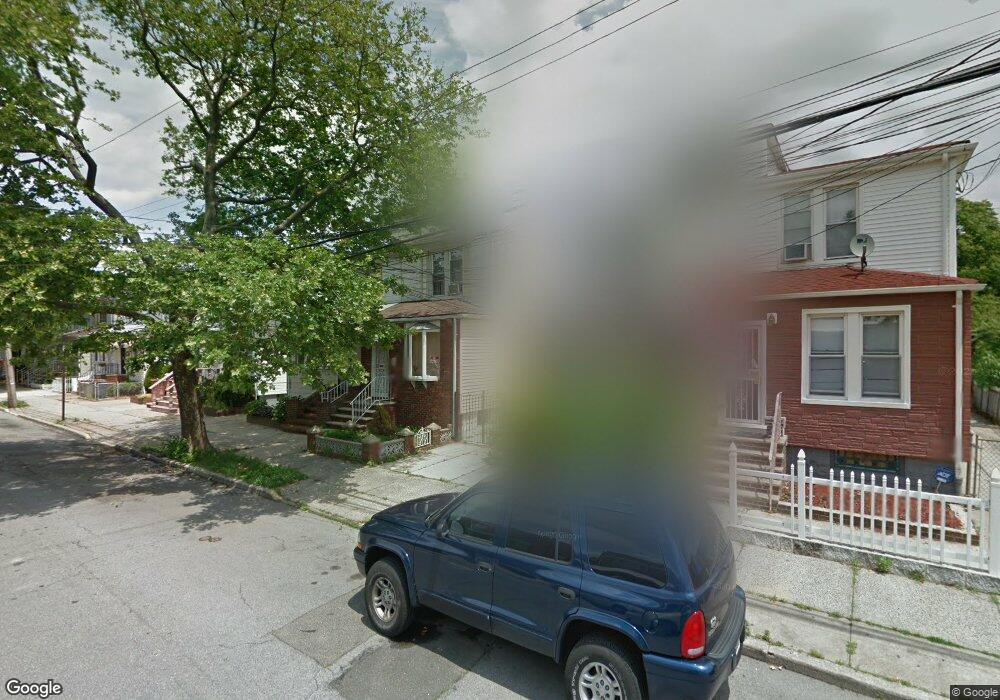
1667 E 92nd St Unit 1 Brooklyn, NY 11236
Canarsie NeighborhoodEstimated Value: $626,171 - $785,000
3
Beds
1
Bath
1,200
Sq Ft
$611/Sq Ft
Est. Value
About This Home
This home is located at 1667 E 92nd St Unit 1, Brooklyn, NY 11236 and is currently estimated at $733,043, approximately $610 per square foot. 1667 E 92nd St Unit 1 is a home located in Kings County with nearby schools including P.S. 115 Daniel Mucatel School, Is 68 Isaac Bildersee, and Canarsie Ascend Charter School.
Ownership History
Date
Name
Owned For
Owner Type
Purchase Details
Closed on
Nov 2, 2013
Sold by
Ward Roslyn
Bought by
Ward-Bourne Roslyn
Current Estimated Value
Home Financials for this Owner
Home Financials are based on the most recent Mortgage that was taken out on this home.
Original Mortgage
$110,352
Outstanding Balance
$82,328
Interest Rate
4.24%
Mortgage Type
New Conventional
Estimated Equity
$650,715
Purchase Details
Closed on
Jan 26, 1995
Sold by
Simone Vincent
Bought by
Ward Roslyn
Create a Home Valuation Report for This Property
The Home Valuation Report is an in-depth analysis detailing your home's value as well as a comparison with similar homes in the area
Home Values in the Area
Average Home Value in this Area
Purchase History
| Date | Buyer | Sale Price | Title Company |
|---|---|---|---|
| Ward-Bourne Roslyn | -- | -- | |
| Ward Roslyn | $145,500 | Commonwealth Land Title Ins |
Source: Public Records
Mortgage History
| Date | Status | Borrower | Loan Amount |
|---|---|---|---|
| Open | Ward-Bourne Roslyn | $110,352 |
Source: Public Records
Tax History
| Year | Tax Paid | Tax Assessment Tax Assessment Total Assessment is a certain percentage of the fair market value that is determined by local assessors to be the total taxable value of land and additions on the property. | Land | Improvement |
|---|---|---|---|---|
| 2025 | $4,824 | $29,940 | $7,200 | $22,740 |
| 2024 | $4,824 | $33,660 | $7,200 | $26,460 |
| 2023 | $4,841 | $40,560 | $7,200 | $33,360 |
| 2022 | $4,489 | $34,260 | $7,200 | $27,060 |
| 2021 | $4,465 | $29,460 | $7,200 | $22,260 |
| 2020 | $2,094 | $28,080 | $7,200 | $20,880 |
| 2019 | $4,187 | $31,080 | $7,200 | $23,880 |
| 2018 | $4,049 | $19,864 | $5,285 | $14,579 |
| 2017 | $3,820 | $18,740 | $5,432 | $13,308 |
| 2016 | $3,534 | $17,680 | $5,658 | $12,022 |
| 2015 | $2,294 | $16,680 | $7,380 | $9,300 |
| 2014 | $2,294 | $16,680 | $7,380 | $9,300 |
Source: Public Records
Map
Nearby Homes
- 1633 E 91st St
- 1611 E 91st St
- 1644 Canarsie Rd
- 1655 E 93rd St
- 9133 Avenue N
- 1593 Canarsie Rd
- 14 Matthews Place
- 1546 Canarsie Rd
- 1618 E 96th St
- 1644 E 96th St
- 9231 Rost Place
- 1541 E 95th St
- 1625 E 96th St
- 1335 E 89th St
- 1498 E 95th St
- 1319 E 89th St
- 1983 Rockaway Pkwy
- 8913 Avenue M
- 8911 Avenue M
- 1466 E 94th St
- 1667 E 92nd St
- 1669 E 92nd St
- 1665 E 92nd St
- 1661 E 92nd St
- 1671 E 92nd St
- 1657 E 92nd St
- 1655 E 92nd St
- 1653 E 92nd St
- 1648 E 93rd St
- 1648 E 93rd St
- 1652 E 93rd St
- 1652 E 93rd St Unit 2
- 9207 Seaview Ave
- 9205 Seaview Ave
- 1646 E 93rd St
- 1656 E 93rd St
- 9209 Seaview Ave Unit 1
- 9201 Seaview Ave
- 1644 E 93rd St
Your Personal Tour Guide
Ask me questions while you tour the home.