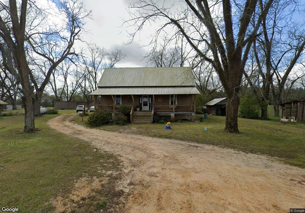
1667 Swanner Bridge Rd Rutledge, AL 36071
Estimated Value: $140,000 - $290,000
Studio
--
Bath
2,552
Sq Ft
$91/Sq Ft
Est. Value
About This Home
This home is located at 1667 Swanner Bridge Rd, Rutledge, AL 36071 and is currently estimated at $232,091, approximately $90 per square foot. 1667 Swanner Bridge Rd is a home.
Ownership History
Date
Name
Owned For
Owner Type
Purchase Details
Closed on
Jun 30, 2014
Sold by
Carla Sorensen Carla Sorensen and Bozeman Christy Sorensen
Bought by
Sorensen Harold and Sorensen Deborah
Current Estimated Value
Home Financials for this Owner
Home Financials are based on the most recent Mortgage that was taken out on this home.
Original Mortgage
$72,751
Interest Rate
4.44%
Mortgage Type
Purchase Money Mortgage
Purchase Details
Closed on
May 5, 2014
Sold by
Harold Harold and Sorensen Deborah
Bought by
Campbell Carla Sorensen and Bozeman Christy Sorensen
Home Financials for this Owner
Home Financials are based on the most recent Mortgage that was taken out on this home.
Original Mortgage
$72,751
Interest Rate
4.44%
Mortgage Type
Purchase Money Mortgage
Create a Home Valuation Report for This Property
The Home Valuation Report is an in-depth analysis detailing your home's value as well as a comparison with similar homes in the area
Purchase History
| Date | Buyer | Sale Price | Title Company |
|---|---|---|---|
| Sorensen Harold | -- | -- | |
| Campbell Carla Sorensen | $127,600 | -- |
Source: Public Records
Mortgage History
| Date | Status | Borrower | Loan Amount |
|---|---|---|---|
| Previous Owner | Campbell Carla Sorensen | $72,751 |
Source: Public Records
Tax History
| Year | Tax Paid | Tax Assessment Tax Assessment Total Assessment is a certain percentage of the fair market value that is determined by local assessors to be the total taxable value of land and additions on the property. | Land | Improvement |
|---|---|---|---|---|
| 2024 | -- | $8,740 | $2,580 | $6,160 |
| 2023 | $204 | $7,800 | $2,480 | $5,320 |
| 2022 | $166 | $6,600 | $2,500 | $4,100 |
| 2021 | $0 | $6,260 | $2,480 | $3,780 |
| 2020 | $154 | $6,260 | $2,480 | $3,780 |
| 2019 | $154 | $6,160 | $2,460 | $3,700 |
| 2018 | $0 | $6,080 | $2,340 | $3,740 |
| 2017 | $0 | $5,900 | $2,340 | $3,560 |
| 2016 | $0 | $5,900 | $2,340 | $3,560 |
| 2015 | -- | $5,900 | $2,340 | $3,560 |
| 2014 | $154 | $5,880 | $2,320 | $3,560 |
| 2013 | $154 | $11,320 | $2,840 | $8,480 |
Source: Public Records
Map
Nearby Homes
- 119 Holland Bridge Rd
- 5292 Ivy Creek Rd
- 5899 Greenville Hwy
- 7818 Greenville Hwy
- 1869 Lee St
- 7818 Greenville Hwy
- 5089 Mount Ida Rd
- 5100 Mount Ida Rd
- 1067 Compton Rd
- 370 Roy Beall Dr
- 0 Cook Stand Rd
- 0 Cook Stand Rd
- 373 Country Club Dr
- 1959 Forest Ave
- W 3rd St Hwy 331
- 2 Ball Park Ln
- 581 Jeffcoat St
- 102 Dawson St
- 1525 W 3rd St
- 1253 S Forest Ave
Your Personal Tour Guide
Ask me questions while you tour the home.