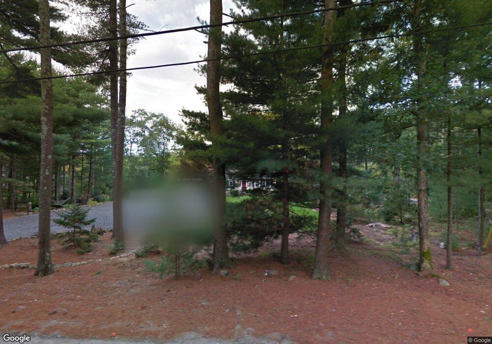
167 Cushman Rd Rochester, MA 02770
Estimated Value: $604,000 - $709,000
3
Beds
2
Baths
2,138
Sq Ft
$301/Sq Ft
Est. Value
About This Home
This home is located at 167 Cushman Rd, Rochester, MA 02770 and is currently estimated at $643,863, approximately $301 per square foot. 167 Cushman Rd is a home located in Plymouth County with nearby schools including Rochester Memorial School, Old Rochester Regional High School, and St Francis Xavier Elementary School.
Ownership History
Date
Name
Owned For
Owner Type
Purchase Details
Closed on
Oct 2, 2025
Sold by
Oliveira Lawrence J and Oliveira Edie
Bought by
Lawrence J Oliveira Ft and Oliveira
Current Estimated Value
Purchase Details
Closed on
Mar 17, 2014
Sold by
Oliveira Lawrence J and Oliveira Edie
Bought by
Oliveira Ft and Oliveira
Purchase Details
Closed on
Nov 16, 2011
Sold by
Larry J Oliveira Nt and Oliveira
Bought by
Oliveira Larry J and Oliveira Edie
Home Financials for this Owner
Home Financials are based on the most recent Mortgage that was taken out on this home.
Original Mortgage
$60,000
Interest Rate
4.01%
Mortgage Type
Credit Line Revolving
Purchase Details
Closed on
Apr 4, 2008
Sold by
Oliveira Larry J
Bought by
Larry J Oliveira Nt and Oliveira
Purchase Details
Closed on
Feb 19, 2008
Sold by
Larry J Oliveira Nt and Oliveira
Bought by
Oliveira Larry J
Purchase Details
Closed on
Jan 18, 2008
Sold by
Oliveira Lawrence J
Bought by
Larry J Oliveira Nt and Oliveira
Purchase Details
Closed on
Nov 1, 2007
Sold by
Larry J Oliveira Nt and Oliveira
Bought by
Oliveira Lawrence J
Create a Home Valuation Report for This Property
The Home Valuation Report is an in-depth analysis detailing your home's value as well as a comparison with similar homes in the area
Home Values in the Area
Average Home Value in this Area
Purchase History
| Date | Buyer | Sale Price | Title Company |
|---|---|---|---|
| Lawrence J Oliveira Ft | -- | -- | |
| Oliveira Lawrence J | -- | -- | |
| Oliveira Ft | -- | -- | |
| Oliveira Ft | -- | -- | |
| Oliveira Larry J | -- | -- | |
| Oliveira Larry J | -- | -- | |
| Larry J Oliveira Nt | -- | -- | |
| Oliveira Larry J | -- | -- | |
| Larry J Oliveira Nt | -- | -- | |
| Oliveira Lawrence J | -- | -- |
Source: Public Records
Mortgage History
| Date | Status | Borrower | Loan Amount |
|---|---|---|---|
| Previous Owner | Oliveira Lawrence J | $60,000 | |
| Previous Owner | Oliveira Larry J | $174,500 |
Source: Public Records
Tax History
| Year | Tax Paid | Tax Assessment Tax Assessment Total Assessment is a certain percentage of the fair market value that is determined by local assessors to be the total taxable value of land and additions on the property. | Land | Improvement |
|---|---|---|---|---|
| 2025 | $5,770 | $533,300 | $169,500 | $363,800 |
| 2024 | $5,635 | $509,500 | $161,500 | $348,000 |
| 2023 | $5,438 | $458,100 | $161,500 | $296,600 |
| 2022 | $5,352 | $420,100 | $196,500 | $223,600 |
| 2021 | $5,240 | $391,900 | $185,900 | $206,000 |
| 2020 | $5,117 | $379,600 | $180,200 | $199,400 |
| 2019 | $4,805 | $343,200 | $169,100 | $174,100 |
| 2018 | $4,749 | $336,600 | $152,900 | $183,700 |
| 2017 | $4,516 | $313,800 | $141,800 | $172,000 |
| 2016 | $4,368 | $311,800 | $143,300 | $168,500 |
| 2015 | $4,258 | $302,600 | $143,300 | $159,300 |
| 2014 | $4,158 | $300,200 | $139,000 | $161,200 |
Source: Public Records
Map
Nearby Homes
- 0 Rounseville Rd
- 0 Land Way Unit 73479153
- 489 Main St
- 2 Hayley Cir
- 4 Hayley Cir
- 0 Keene Rd Unit 73459818
- 11 Bayberry Ln
- 363 Main St
- 79 Park Dr
- 151 Walnut Plain Rd
- 23 Oliveira Ave
- 31 Hathaway Rd
- 7 Randall Rd
- 973 Pembroke St
- SS Charbonneau Ln
- 1015 Forbes St
- 247 Braley Hill Rd
- 40 Foley Dr
- Lot 3 Beverly St
- 6 Middlefield Place
- 161 Cushman Rd
- 161 Cushman Rd
- 161 Cushman Rd Unit Year Round
- 179 Cushman Rd
- 168 Cushman Rd
- 149 Cushman Rd
- 188 Cushman Rd
- 193 Cushman Rd
- 145 Cushman Rd
- 194 Cushman Rd
- 14 Holly Hill Ln
- 206 Cushman Rd
- 215 Cushman Rd
- 28 Jasons Ln
- 118 Cushman Rd
- 18 Jasons Ln
- 38 Jasons Ln
- 225 Cushman Rd
- 224 Cushman Rd
- 46 Jasons Ln
Your Personal Tour Guide
Ask me questions while you tour the home.