Estimated Value: $466,777 - $791,000
4
Beds
1
Bath
1,600
Sq Ft
$353/Sq Ft
Est. Value
About This Home
This home is located at 167 Grogan Rd, Barre, MA 01005 and is currently estimated at $564,444, approximately $352 per square foot. 167 Grogan Rd is a home located in Worcester County with nearby schools including Quabbin Regional Middle School and Quabbin Regional High School.
Ownership History
Date
Name
Owned For
Owner Type
Purchase Details
Closed on
Aug 1, 1997
Sold by
Dixson Alan C and Dixson Marcia A
Bought by
Petrovick David M and Petrovick Martha S
Current Estimated Value
Home Financials for this Owner
Home Financials are based on the most recent Mortgage that was taken out on this home.
Original Mortgage
$120,000
Outstanding Balance
$18,002
Interest Rate
7.55%
Mortgage Type
Purchase Money Mortgage
Estimated Equity
$546,442
Create a Home Valuation Report for This Property
The Home Valuation Report is an in-depth analysis detailing your home's value as well as a comparison with similar homes in the area
Home Values in the Area
Average Home Value in this Area
Purchase History
| Date | Buyer | Sale Price | Title Company |
|---|---|---|---|
| Petrovick David M | $180,000 | -- | |
| Petrovick David M | $180,000 | -- |
Source: Public Records
Mortgage History
| Date | Status | Borrower | Loan Amount |
|---|---|---|---|
| Open | Petrovick David M | $120,000 | |
| Closed | Petrovick David M | $120,000 |
Source: Public Records
Tax History
| Year | Tax Paid | Tax Assessment Tax Assessment Total Assessment is a certain percentage of the fair market value that is determined by local assessors to be the total taxable value of land and additions on the property. | Land | Improvement |
|---|---|---|---|---|
| 2025 | $5,669 | $417,146 | $72,846 | $344,300 |
| 2024 | $5,578 | $398,978 | $68,478 | $330,500 |
| 2023 | $5,023 | $316,715 | $55,415 | $261,300 |
| 2022 | $4,912 | $291,692 | $48,192 | $243,500 |
| 2021 | $5,269 | $292,711 | $47,211 | $245,500 |
| 2020 | $5,124 | $286,711 | $47,211 | $239,500 |
| 2019 | $4,738 | $261,492 | $43,792 | $217,700 |
| 2018 | $4,882 | $259,700 | $44,100 | $215,600 |
| 2017 | $4,546 | $243,088 | $44,288 | $198,800 |
| 2016 | $3,968 | $222,949 | $38,949 | $184,000 |
| 2015 | $3,272 | $175,549 | $45,349 | $130,200 |
| 2014 | $2,839 | $176,749 | $51,749 | $125,000 |
Source: Public Records
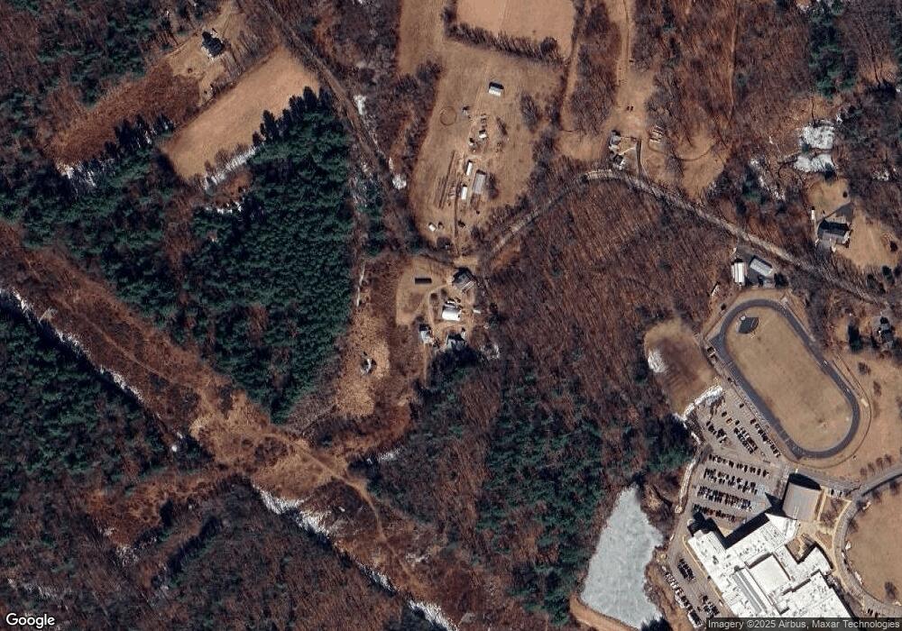
Map
Nearby Homes
- 921 Wauwinet Rd
- 1215 South St
- 50 Grove St N
- 0 Agnese Ct Unit 73478399
- 52 Summer St
- 865 S Barre Rd
- 0 Glancy Rd
- 12-16 Church St
- 23 Trafalgar Square Unit 23
- 0 Station Rd
- 1000 West St
- 572 Wheelwright Rd
- 661 Wheelwright Rd
- 278 Oakham Rd
- 999 Old Coldbrook Rd
- Lot 4 Murphy and Williamsville Roads
- Lot 3 Murphy Rd
- 38 Edson Rd
- 2266 Old Turnpike Rd
- 67 Skyline Dr
- Lot 4a Grogan Rd
- 0 Grogan Rd
- 110 Grogan Rd
- 273 Grogan Rd
- 289 Grogan Rd
- 760 South St
- 10 Grogan Rd
- 305 Grogan Rd
- 324 Grogan Rd
- Lot F South St
- Lot A South St
- 799 South St
- 325 Grogan Rd
- 839 South St
- 345 Grogan Rd
- 525 Wauwinet Rd
- 473 Wauwinet Rd
- 0 Grogan Rd L:3 Unit 71721470
- 0 Grogan Rd L:3 Unit 71864744
- 0 Grogan Rd L:3 Unit 71969214
Your Personal Tour Guide
Ask me questions while you tour the home.