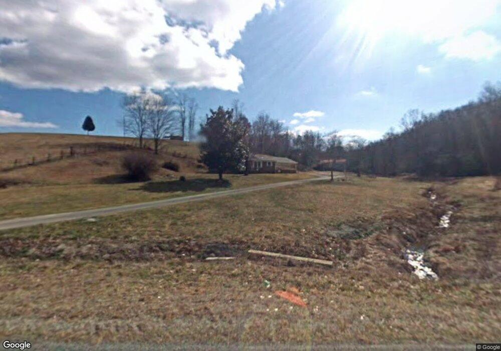
1672 Mcbride Rd Mount Airy, NC 27030
Estimated Value: $121,000 - $201,000
2
Beds
1
Bath
1,296
Sq Ft
$131/Sq Ft
Est. Value
About This Home
This home is located at 1672 Mcbride Rd, Mount Airy, NC 27030 and is currently estimated at $170,079, approximately $131 per square foot. 1672 Mcbride Rd is a home with nearby schools including Flat Rock Elementary School, Meadowview Magnet Middle School, and North Surry High School.
Ownership History
Date
Name
Owned For
Owner Type
Purchase Details
Closed on
Jun 26, 2015
Sold by
Culler Glenda H
Bought by
Cox Erica and Cox Nicholas L
Current Estimated Value
Home Financials for this Owner
Home Financials are based on the most recent Mortgage that was taken out on this home.
Original Mortgage
$66,326
Outstanding Balance
$51,681
Interest Rate
3.92%
Mortgage Type
New Conventional
Estimated Equity
$118,398
Purchase Details
Closed on
Dec 1, 2002
Purchase Details
Closed on
Dec 1, 1938
Create a Home Valuation Report for This Property
The Home Valuation Report is an in-depth analysis detailing your home's value as well as a comparison with similar homes in the area
Purchase History
| Date | Buyer | Sale Price | Title Company |
|---|---|---|---|
| Cox Erica | $65,000 | Attorney | |
| -- | -- | -- | |
| -- | -- | -- |
Source: Public Records
Mortgage History
| Date | Status | Borrower | Loan Amount |
|---|---|---|---|
| Open | Cox Erica | $66,326 |
Source: Public Records
Tax History
| Year | Tax Paid | Tax Assessment Tax Assessment Total Assessment is a certain percentage of the fair market value that is determined by local assessors to be the total taxable value of land and additions on the property. | Land | Improvement |
|---|---|---|---|---|
| 2025 | $795 | $118,130 | $11,780 | $106,350 |
| 2024 | $703 | $98,530 | $11,780 | $86,750 |
| 2023 | $692 | $98,530 | $11,780 | $86,750 |
| 2022 | $692 | $98,530 | $11,780 | $86,750 |
| 2021 | $703 | $98,530 | $11,780 | $86,750 |
| 2020 | $690 | $92,500 | $11,780 | $80,720 |
| 2019 | $687 | $92,500 | $0 | $0 |
| 2018 | $676 | $92,500 | $0 | $0 |
| 2017 | $672 | $92,500 | $0 | $0 |
| 2016 | $665 | $92,500 | $0 | $0 |
| 2013 | -- | $90,940 | $0 | $0 |
Source: Public Records
Map
Nearby Homes
- 1970 Mcbride Rd
- xx 44.93 Acres Stardust Trail
- 549 Ararat Hwy
- 2828 E Pine St
- 0 NE Pine St
- 236 Badgett Ave
- 263 Badgett Ave
- 166 Lynnewood Dr
- 106 Lynnewood Dr
- 335 Badgett Ave
- 329 Graystone Rd
- TBD Glen Terrace
- 663 Mcbride Rd
- 2638 Riverside Dr
- 00 Paynetown Rd
- 0 Blue Hollow Rd Unit 27
- 0 Blue Hollow Rd Unit 23105199
- 1611 E Pine St
- 110 Painted Fox Trail
- 125 Cabin Ln
- 1697 Mcbride Rd
- 1743 Mcbride Rd
- 1599 Mcbride Rd
- 1808 Mcbride Rd
- 1539 Mcbride Rd
- 1521 Mcbride Rd
- 1524 Mcbride Rd
- 154 Paisley Dr
- 174 Classic Ln
- 1497 Mcbride Rd
- 235 S Parkview Dr
- 121 Paisley Dr
- 1855 Mcbride Rd
- 198 Paisley Dr
- 120 Silver Hill Ln
- 250 S Parkview Dr
- 179 Paisley Dr
- 125 Marigold Ln
- 234 Ladyslipper Ln
- 188 Marigold Ln
Your Personal Tour Guide
Ask me questions while you tour the home.