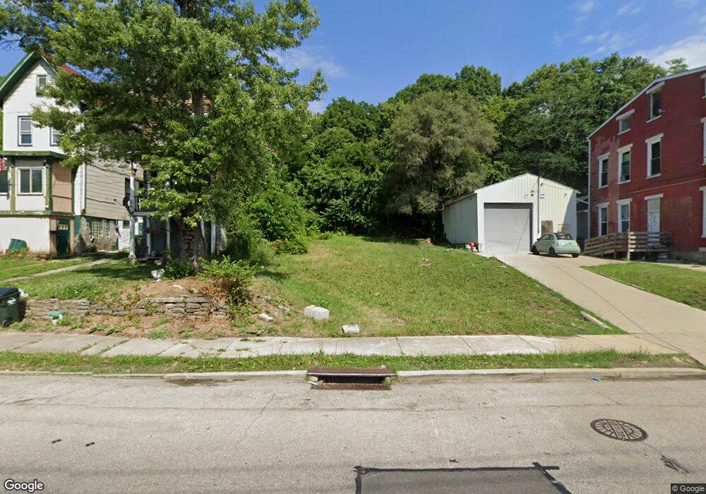
1677 State Ave Cincinnati, OH 45204
East Price Hill NeighborhoodEstimated Value: $10,233 - $127,000
About This Home
This home is located at 1677 State Ave, Cincinnati, OH 45204 and is currently estimated at $54,078. 1677 State Ave is a home located in Hamilton County with nearby schools including Oyler School, Robert A. Taft Information Technology High School, and Gilbert A. Dater High School.
Ownership History
We collect this data history from publicly available records. To have your information removed, we recommend requesting removal directly through your county’s website.
Purchase Details
Purchase Details
Purchase Details
Purchase Details
Purchase Details
Purchase Details
Purchase Details
Home Financials for this Owner
Home Financials are based on the most recent Mortgage that was taken out on this home.Purchase Details
Purchase Details
Purchase Details
Home Financials for this Owner
Home Financials are based on the most recent Mortgage that was taken out on this home.Purchase Details
Home Values in the Area
Average Home Value in this Area
Purchase History
We collect this data history from publicly available records. To have your information removed, we recommend requesting removal directly through your county’s website.
| Date | Buyer | Sale Price | Title Company |
|---|---|---|---|
| -- | None Listed On Document | ||
| $5,000 | -- | ||
| $115 | Attorney | ||
| -- | None Available | ||
| $10,000 | Resource Title Agency Inc | ||
| -- | Resource Title Agency Inc | ||
| $22,950 | Resource Title Agency Inc | ||
| $48,200 | -- | ||
| $59,500 | -- | ||
| $20,102 | -- | ||
| $56,000 | -- | ||
| -- | -- |
Mortgage History
We collect this data history from publicly available records. To have your information removed, we recommend requesting removal directly through your county’s website.
| Date | Status | Borrower | Loan Amount |
|---|---|---|---|
| Previous Owner | $54,000 | ||
| Previous Owner | $47,600 |
Tax History
We collect this data history from publicly available records. To have your information removed, we recommend requesting removal directly through your county’s website.
| Year | Tax Paid | Tax Assessment Tax Assessment Total Assessment is a certain percentage of the fair market value that is determined by local assessors to be the total taxable value of land and additions on the property. | Land | Improvement |
|---|---|---|---|---|
| 2025 | $1,664 | $1,656 | $1,656 | -- |
| 2024 | $121 | $1,656 | $1,656 | -- |
| 2023 | $128 | $1,656 | $1,656 | $0 |
| 2022 | $110 | $1,334 | $1,334 | $0 |
| 2021 | $103 | $1,334 | $1,334 | $0 |
| 2020 | $103 | $1,334 | $1,334 | $0 |
| 2019 | $112 | $1,334 | $1,334 | $0 |
| 2018 | $481 | $1,334 | $1,334 | $0 |
| 2017 | $108 | $1,334 | $1,334 | $0 |
| 2016 | $140 | $1,726 | $1,726 | $0 |
| 2015 | $4,580 | $1,726 | $1,726 | $0 |
| 2014 | $4,948 | $1,726 | $1,726 | $0 |
| 2013 | $5,499 | $1,761 | $1,761 | $0 |
Map
- 1669 State Ave
- 1671 State Ave
- 1646 State Ave
- 2182 Grand Ave
- 2173 Clara St
- 2169 Clara St
- 2165 Clara St
- 2281 Northside Ave
- 2824 Sterrett Ave
- 2923 Lehman Rd
- 2227 Grand Ave
- 1699 Westwood Ave
- 2829 Glenway Ave
- 1730 Esmonde St
- 2500 Warsaw Ave Unit 34
- 2500 Warsaw Ave Unit 10
- 2500 Warsaw Ave Unit 25
- 2940 Glenway Ave
- 2360 Wilder Ave
- 1712 Queen City Ave
Ask me questions while you tour the home.