16775 Needham Rd Conroe, TX 77385
Estimated Value: $226,000 - $694,000
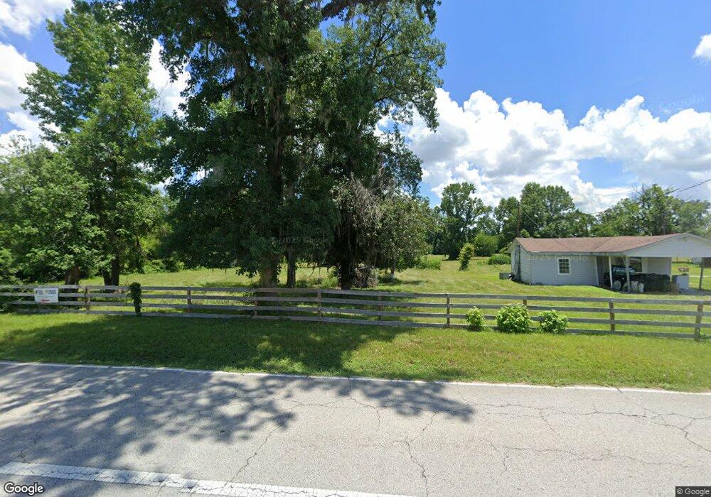
About This Home
This home is located at 16775 Needham Rd, Conroe, TX 77385 and is currently estimated at $485,332, approximately $187 per square foot. 16775 Needham Rd is a home located in Montgomery County with nearby schools including Suchma Elementary School, Irons J High School, and Oak Ridge High School.
Ownership History
We collect this data history from publicly available records. To have your information removed, we recommend requesting removal directly through your county’s website.
Purchase Details
Purchase Details
Home Financials for this Owner
Home Financials are based on the most recent Mortgage that was taken out on this home.Purchase Details
Home Financials for this Owner
Home Financials are based on the most recent Mortgage that was taken out on this home.Purchase Details
Home Values in the Area
Average Home Value in this Area
Purchase History
We collect this data history from publicly available records. To have your information removed, we recommend requesting removal directly through your county’s website.
| Date | Buyer | Sale Price | Title Company |
|---|---|---|---|
| -- | None Listed On Document | ||
| -- | -- | ||
| -- | -- | ||
| -- | Texas American Title Company | ||
| -- | -- |
Mortgage History
We collect this data history from publicly available records. To have your information removed, we recommend requesting removal directly through your county’s website.
| Date | Status | Borrower | Loan Amount |
|---|---|---|---|
| Previous Owner | $138,400 | ||
| Previous Owner | $75,000 | ||
| Closed | $25,950 |
Tax History
We collect this data history from publicly available records. To have your information removed, we recommend requesting removal directly through your county’s website.
| Year | Tax Paid | Tax Assessment Tax Assessment Total Assessment is a certain percentage of the fair market value that is determined by local assessors to be the total taxable value of land and additions on the property. | Land | Improvement |
|---|---|---|---|---|
| 2025 | $1,795 | $363,943 | -- | -- |
| 2024 | $1,789 | $323,180 | -- | -- |
| 2023 | $1,789 | $298,000 | $315,000 | $184,160 |
| 2022 | $4,849 | $278,440 | $315,000 | $193,490 |
| 2021 | $4,505 | $243,650 | $210,000 | $150,350 |
| 2020 | $4,365 | $225,230 | $210,000 | $150,440 |
| 2019 | $4,036 | $200,380 | $147,000 | $126,500 |
| 2018 | $2,800 | $186,770 | $147,000 | $132,520 |
| 2017 | $3,462 | $172,930 | $147,000 | $132,620 |
| 2016 | $3,210 | $160,350 | $147,000 | $136,530 |
| 2015 | $1,967 | $114,340 | $63,000 | $51,340 |
| 2014 | $1,967 | $106,670 | $63,000 | $52,900 |
Map
- 0 Texas 242
- 10867 Highway 242
- 2122 Artic Loon Dr
- 2110 Artic Loon Dr
- TBD Lot 112 White Birch Ln
- 10811 River Oaks Dr
- 16417 Olive Sparrow Dr
- 2509 River Ridge
- 2511 River Ridge
- 9915 Valance Way
- 10403 Roseate Skimmer
- 10407 Roseate Skimmer
- 2619 N Woodloch St
- 2668 S Woodloch St
- 16954 Tableland Trail
- 10410 Southern Hawker
- 10494 Lake Palmetto Dr
- 2549 River Ridge
- 10402 Lake Palmetto Dr
- 2656 S Woodloch St
- 10831 Texas 242
- 10831 Highway 242
- 10855 Highway 242
- 10814 Highway 242
- 000 Lexington Dr
- 0 Lot 1 River Rd Unit 39418045
- 10661 Highway 242
- 10843 Hwy 242
- 10843 Highway 242 W
- 10660 Highway 242
- 16559 Rock Wren Trail
- 2284 Garganey Ln
- 10866 Highway 242
- 10892 Hwy 242
- 2280 Garganey Ln
- 16555 Rock Wren Trail
- 2276 Garganey Ln
- 2272 Garganey Ln
- 16551 Rock Wren Trail
- 2268 Garganey Ln
Ask me questions while you tour the home.