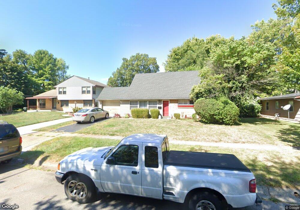
1679 Simpson Dr Columbus, OH 43227
Leawood NeighborhoodEstimated Value: $203,000 - $220,000
About This Home
This home is located at 1679 Simpson Dr, Columbus, OH 43227 and is currently estimated at $211,367, approximately $166 per square foot. 1679 Simpson Dr is a home located in Franklin County with nearby schools including Leawood Elementary School, Sherwood Middle School, and Walnut Ridge High School.
Ownership History
We collect this data history from publicly available records. To have your information removed, we recommend requesting removal directly through your county’s website.
Purchase Details
Purchase Details
Home Financials for this Owner
Home Financials are based on the most recent Mortgage that was taken out on this home.Purchase Details
Purchase Details
Home Financials for this Owner
Home Financials are based on the most recent Mortgage that was taken out on this home.Purchase Details
Home Financials for this Owner
Home Financials are based on the most recent Mortgage that was taken out on this home.Purchase Details
Home Values in the Area
Average Home Value in this Area
Purchase History
We collect this data history from publicly available records. To have your information removed, we recommend requesting removal directly through your county’s website.
| Date | Buyer | Sale Price | Title Company |
|---|---|---|---|
| -- | None Listed On Document | ||
| $107,900 | Fati | ||
| -- | -- | ||
| -- | Focus Title | ||
| $56,750 | -- | ||
| -- | -- |
Mortgage History
We collect this data history from publicly available records. To have your information removed, we recommend requesting removal directly through your county’s website.
| Date | Status | Borrower | Loan Amount |
|---|---|---|---|
| Previous Owner | $86,300 | ||
| Previous Owner | $80,000 | ||
| Previous Owner | $74,922 |
Tax History
We collect this data history from publicly available records. To have your information removed, we recommend requesting removal directly through your county’s website.
| Year | Tax Paid | Tax Assessment Tax Assessment Total Assessment is a certain percentage of the fair market value that is determined by local assessors to be the total taxable value of land and additions on the property. | Land | Improvement |
|---|---|---|---|---|
| 2025 | $2,673 | $59,570 | $17,290 | $42,280 |
| 2024 | $2,673 | $59,570 | $17,290 | $42,280 |
| 2023 | $2,639 | $59,570 | $17,290 | $42,280 |
| 2022 | $1,516 | $29,230 | $6,480 | $22,750 |
| 2021 | $1,064 | $29,230 | $6,480 | $22,750 |
| 2020 | $1,065 | $29,230 | $6,480 | $22,750 |
| 2019 | $847 | $22,720 | $5,180 | $17,540 |
| 2018 | $830 | $22,720 | $5,180 | $17,540 |
| 2017 | $872 | $22,720 | $5,180 | $17,540 |
| 2016 | $898 | $22,300 | $4,760 | $17,540 |
| 2015 | $815 | $22,300 | $4,760 | $17,540 |
| 2014 | $817 | $22,300 | $4,760 | $17,540 |
| 2013 | $519 | $26,215 | $5,600 | $20,615 |
Map
- 4492 Keeler Dr
- 4487 Dundee Ave
- 4636 Dundee Ave
- 1567 Baxter Dr
- 1585 Shady Lane Rd
- 4668 Belfast Dr
- 4475 Ellery Dr
- 4467 Ellery Dr
- 1547 Duffield Dr
- 1752 S Hamilton Rd
- 1407 Simpson Dr
- 1654 Wilton Dr
- 4467 Grimsby Rd
- 1646 Clyde Place
- 1422 Benson Dr
- 4530 Amesbury Rd
- 4303 Colby Ave
- 1492 Burlington Ave
- 1264 Shady Lane Rd
- 1301 Bernhard Rd
- 1663 Simpson Dr
- 4551 Dundee Ave
- 1673 Simpson Dr
- 4541 Dundee Ave
- 4564 Dundee Ave
- 4570 Dundee Ave
- 1634 Genoa Place
- 1672 Simpson Dr
- 4589 Dundee Ave
- 4531 Dundee Ave
- 1680 Simpson Dr
- 1685 Simpson Dr
- 1688 Simpson Dr
- 1633 Simpson Dr
- 4525 Dundee Ave
- 1626 Genoa Place
- 4594 Dundee Ave
- 4536 Dundee Ave
- 1635 Genoa Place
- 1689 Simpson Dr
Ask me questions while you tour the home.