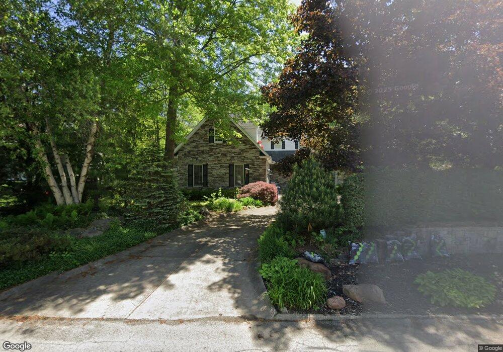
168 Saint Andrews Cortland, OH 44410
Estimated Value: $403,000 - $465,000
About This Home
This home is located at 168 Saint Andrews, Cortland, OH 44410 and is currently estimated at $439,006, approximately $176 per square foot. 168 Saint Andrews is a home located in Trumbull County with nearby schools including Currie Elementary School, Baker Elementary School, and Mathews High School.
Ownership History
We collect this data history from publicly available records. To have your information removed, we recommend requesting removal directly through your county’s website.
Purchase Details
Purchase Details
Home Values in the Area
Average Home Value in this Area
Purchase History
We collect this data history from publicly available records. To have your information removed, we recommend requesting removal directly through your county’s website.
| Date | Buyer | Sale Price | Title Company |
|---|---|---|---|
| -- | None Available | ||
| -- | None Available |
Tax History
We collect this data history from publicly available records. To have your information removed, we recommend requesting removal directly through your county’s website.
| Year | Tax Paid | Tax Assessment Tax Assessment Total Assessment is a certain percentage of the fair market value that is determined by local assessors to be the total taxable value of land and additions on the property. | Land | Improvement |
|---|---|---|---|---|
| 2025 | $6,441 | $129,220 | $12,250 | $116,970 |
| 2024 | $6,441 | $129,220 | $12,250 | $116,970 |
| 2023 | $6,209 | $129,220 | $12,250 | $116,970 |
| 2022 | $6,472 | $106,510 | $12,250 | $94,260 |
| 2021 | $6,488 | $106,510 | $12,250 | $94,260 |
| 2020 | $6,508 | $106,510 | $12,250 | $94,260 |
| 2019 | $6,008 | $94,220 | $12,250 | $81,970 |
| 2018 | $5,410 | $94,220 | $12,250 | $81,970 |
| 2017 | $5,396 | $94,220 | $12,250 | $81,970 |
| 2016 | $5,130 | $87,710 | $14,420 | $73,290 |
| 2015 | $5,090 | $87,710 | $14,420 | $73,290 |
| 2014 | $4,852 | $87,710 | $14,420 | $73,290 |
| 2013 | $4,870 | $87,710 | $14,420 | $73,290 |
Map
- 0 St Andrews Unit 5202628
- 0 Saint Andrews
- 120 Winter Ln
- 220 Fox Run
- 705 Tournament Trail Unit 705
- 332 Stahl Ave
- 358 Tessa Place
- 0 8 9581 N High St
- 117 Dennis Dr
- 306 S Colonial Dr
- 7 Tami Ct
- 352 Rosewae Ave
- 2031 Quail
- 359 Denman Ave
- 310 N Mecca St
- 148 Woodland Trace Unit 148
- 0 Fowler St
- 3098 Fowler St
- 105 Topaz Trail
- 23 Eagle Pointe Dr
- 172 Saint Andrews
- 164 Saint Andrews
- 175 Saint Andrews
- 176 Saint Andrews
- 171 Saint Andrews
- 179 Saint Andrews
- 167 Saint Andrews
- 183 Saint Andrews
- 180 Saint Andrews
- 156 Saint Andrews
- 163 Saint Andrews
- 187 St Andrews
- 184 Saint Andrews
- 152 Saint Andrews
- 191 Saint Andrews
- 148 Saint Andrews
- 155 Saint Andrews
- 195 Saint Andrews
- 0 St Andrews Unit 4010620
- 0 St Andrews Unit 4010637
Ask me questions while you tour the home.