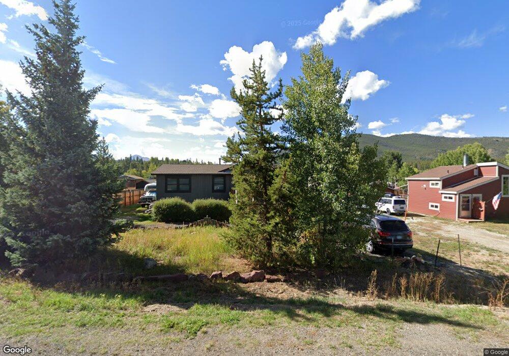
168 Vail Cir Dillon, CO 80435
Keystone NeighborhoodEstimated Value: $1,018,000 - $1,336,000
3
Beds
3
Baths
1,240
Sq Ft
$916/Sq Ft
Est. Value
About This Home
This home is located at 168 Vail Cir, Dillon, CO 80435 and is currently estimated at $1,135,709, approximately $915 per square foot. 168 Vail Cir is a home located in Summit County with nearby schools including Summit Cove Elementary School, Summit Middle School, and Summit High School.
Ownership History
Date
Name
Owned For
Owner Type
Purchase Details
Closed on
Jul 22, 2015
Sold by
Aunan Anna K and Aunan Sanda N
Bought by
Aunan Anna K and Monroe Joseph D
Current Estimated Value
Home Financials for this Owner
Home Financials are based on the most recent Mortgage that was taken out on this home.
Original Mortgage
$392,000
Outstanding Balance
$307,779
Interest Rate
4.06%
Mortgage Type
New Conventional
Estimated Equity
$827,930
Purchase Details
Closed on
Sep 28, 2012
Sold by
Neslo Properties Llc
Bought by
Aunan Anna and Aunan Sandra N
Home Financials for this Owner
Home Financials are based on the most recent Mortgage that was taken out on this home.
Original Mortgage
$406,558
Interest Rate
3.75%
Mortgage Type
FHA
Purchase Details
Closed on
Apr 3, 2003
Sold by
Neiley John F and Olsen Siri A
Bought by
Neslo Properties Llc
Create a Home Valuation Report for This Property
The Home Valuation Report is an in-depth analysis detailing your home's value as well as a comparison with similar homes in the area
Home Values in the Area
Average Home Value in this Area
Purchase History
We collect this data history from publicly available records. To have your information removed, we recommend requesting removal directly through your county’s website.
| Date | Buyer | Sale Price | Title Company |
|---|---|---|---|
| Aunan Anna K | -- | Land Title Guarantee | |
| Aunan Anna | $302,000 | Land Title Guarantee Company | |
| Neslo Properties Llc | -- | None Available |
Source: Public Records
Mortgage History
We collect this data history from publicly available records. To have your information removed, we recommend requesting removal directly through your county’s website.
| Date | Status | Borrower | Loan Amount |
|---|---|---|---|
| Open | Aunan Anna K | $392,000 | |
| Closed | Aunan Anna | $406,558 |
Source: Public Records
Tax History
| Year | Tax Paid | Tax Assessment Tax Assessment Total Assessment is a certain percentage of the fair market value that is determined by local assessors to be the total taxable value of land and additions on the property. | Land | Improvement |
|---|---|---|---|---|
| 2024 | $4,059 | $76,507 | -- | -- |
| 2023 | $4,059 | $72,822 | $0 | $0 |
| 2022 | $3,065 | $51,402 | $0 | $0 |
| 2021 | $3,092 | $52,881 | $0 | $0 |
| 2020 | $2,636 | $47,778 | $0 | $0 |
| 2019 | $2,602 | $47,778 | $0 | $0 |
| 2018 | $2,082 | $36,784 | $0 | $0 |
| 2017 | $1,915 | $36,784 | $0 | $0 |
| 2016 | $1,879 | $35,490 | $0 | $0 |
| 2015 | $1,824 | $35,490 | $0 | $0 |
| 2014 | $1,798 | $34,366 | $0 | $0 |
| 2013 | -- | $28,741 | $0 | $0 |
Source: Public Records
Map
Nearby Homes
- 442 Idlewild Dr
- 653 Vail Cir
- 126 Snowberry Way
- 631 Summit Dr
- 1018 Summit Dr
- 45 Dylan Ct
- 59 Mountain Bluebell Rd
- 113 Soda Creek Ct
- 862 Penstemon Rd
- 105 River Course Dr Unit 9571
- 97 Sunlight Dr
- 591 Elk Cir
- 148 Summit Dr Unit A7
- 281 Elk Cir Unit 23
- 281 Elk Cir
- 74 Doe Dr Unit 74
- 60 Doe Dr
- 216 Climax Dr
- 58 Summit Dr Unit D9
- 22 Sage View Ct Unit 1
Your Personal Tour Guide
Ask me questions while you tour the home.