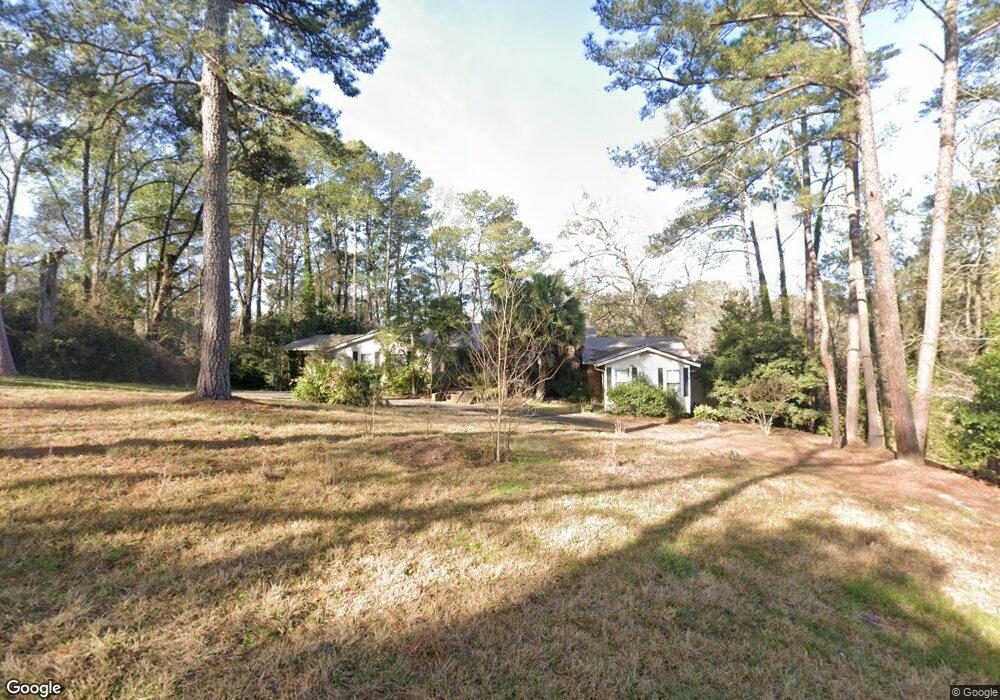
1680 Briarcliff Rd Macon, GA 31211
Shirley Hills Historic District NeighborhoodEstimated Value: $157,764 - $323,000
4
Beds
4
Baths
2,997
Sq Ft
$71/Sq Ft
Est. Value
About This Home
This home is located at 1680 Briarcliff Rd, Macon, GA 31211 and is currently estimated at $213,191, approximately $71 per square foot. 1680 Briarcliff Rd is a home located in Bibb County with nearby schools including Martin Luther King Jr. Elementary School, Appling Middle School, and Northeast High School.
Ownership History
Date
Name
Owned For
Owner Type
Purchase Details
Closed on
Aug 15, 2025
Sold by
Deile Andrew J
Bought by
Powell Charlie Lee
Current Estimated Value
Home Financials for this Owner
Home Financials are based on the most recent Mortgage that was taken out on this home.
Original Mortgage
$144,000
Outstanding Balance
$143,875
Interest Rate
6.72%
Mortgage Type
New Conventional
Estimated Equity
$69,316
Purchase Details
Closed on
Jul 17, 1986
Sold by
Clyde Ray Grimes
Bought by
Deile Andrew J - Nancy C
Create a Home Valuation Report for This Property
The Home Valuation Report is an in-depth analysis detailing your home's value as well as a comparison with similar homes in the area
Home Values in the Area
Average Home Value in this Area
Purchase History
| Date | Buyer | Sale Price | Title Company |
|---|---|---|---|
| Powell Charlie Lee | $160,000 | None Listed On Document | |
| Deile Andrew J - Nancy C | $138,500 | -- |
Source: Public Records
Mortgage History
| Date | Status | Borrower | Loan Amount |
|---|---|---|---|
| Open | Powell Charlie Lee | $144,000 |
Source: Public Records
Tax History
| Year | Tax Paid | Tax Assessment Tax Assessment Total Assessment is a certain percentage of the fair market value that is determined by local assessors to be the total taxable value of land and additions on the property. | Land | Improvement |
|---|---|---|---|---|
| 2025 | $2,417 | $98,351 | $24,357 | $73,994 |
| 2024 | $2,177 | $92,730 | $18,736 | $73,994 |
| 2023 | $1,497 | $83,943 | $18,736 | $65,207 |
| 2022 | $2,731 | $85,873 | $19,686 | $66,187 |
| 2021 | $2,816 | $81,105 | $17,896 | $63,209 |
| 2020 | $2,580 | $73,448 | $17,896 | $55,552 |
| 2019 | $2,483 | $70,426 | $17,001 | $53,425 |
| 2018 | $3,607 | $64,169 | $15,212 | $48,957 |
| 2017 | $2,142 | $64,169 | $15,212 | $48,957 |
| 2016 | $2,040 | $65,958 | $17,001 | $48,957 |
| 2015 | $2,888 | $65,958 | $17,001 | $48,957 |
| 2014 | $1,181 | $68,980 | $17,896 | $51,084 |
Source: Public Records
Map
Nearby Homes
- 1825 Waverland Cir
- 1728 Waverland Cir
- 1560 Hawthorne Rd
- 1868 Waverland Dr
- 1464 Twin Pines Dr
- 1485 Lone Oak Dr
- 1435 Twin Pines Dr
- 1746 Hamilton Dr
- 1636 Hamilton Dr
- 1916 Flintwood Dr
- 1735 Foster Place
- 1715 Foster Place
- 1158 Jackson Springs Rd
- 1121 Oakcliff Rd
- 1949 Deerwood Place
- 1825 Flintwood Dr
- 940 Curry Dr
- 967 Glenridge Dr
- 944 Nottingham Dr
- 1972 Wood Valley Rd
- 1656 Briarcliff Rd
- 1690 Briarcliff Rd
- 1776 Waverland Cir
- 1648 Briarcliff Rd
- 1695 Briarcliff Rd
- 1620 Waverland Dr
- 1782 Waverland Cir
- 1773 Waverland Cir
- 1770 Waverland Cir
- 1588 Waverland Dr Unit F3
- 1786 Waverland Cir
- 1761 Waverland Cir
- 1642 Waverland Dr
- 1755 Waverland Cir
- 1801 Waverland Cir
- 1742 Waverland Cir
- 1792 Waverland Cir
- 1749 Waverland Cir
- 1637 Waverland Dr
- 1809 Waverland Cir
Your Personal Tour Guide
Ask me questions while you tour the home.