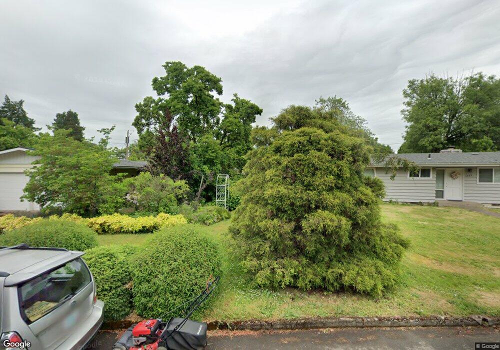
1683 Norkenzie Rd Eugene, OR 97401
Cal Young NeighborhoodEstimated Value: $367,238 - $392,000
2
Beds
1
Bath
864
Sq Ft
$436/Sq Ft
Est. Value
About This Home
This home is located at 1683 Norkenzie Rd, Eugene, OR 97401 and is currently estimated at $376,310, approximately $435 per square foot. 1683 Norkenzie Rd is a home located in Lane County with nearby schools including Willagillespie Elementary School, Cal Young Middle School, and Sheldon High School.
Ownership History
Date
Name
Owned For
Owner Type
Purchase Details
Closed on
Jul 24, 2003
Sold by
Huston Matthew K
Bought by
Huston Matthew K and Fox Inger E
Current Estimated Value
Home Financials for this Owner
Home Financials are based on the most recent Mortgage that was taken out on this home.
Original Mortgage
$128,000
Interest Rate
5.15%
Mortgage Type
Unknown
Purchase Details
Closed on
Jul 27, 2000
Sold by
Grassauer Hans
Bought by
Huston Matthew K and Huston Robert T
Home Financials for this Owner
Home Financials are based on the most recent Mortgage that was taken out on this home.
Original Mortgage
$125,763
Interest Rate
8.12%
Mortgage Type
FHA
Create a Home Valuation Report for This Property
The Home Valuation Report is an in-depth analysis detailing your home's value as well as a comparison with similar homes in the area
Home Values in the Area
Average Home Value in this Area
Purchase History
| Date | Buyer | Sale Price | Title Company |
|---|---|---|---|
| Huston Matthew K | -- | Western Pioneer Title Co | |
| Huston Matthew K | $126,800 | American Title Group |
Source: Public Records
Mortgage History
| Date | Status | Borrower | Loan Amount |
|---|---|---|---|
| Closed | Huston Matthew K | $128,000 | |
| Closed | Huston Matthew K | $125,763 |
Source: Public Records
Tax History
| Year | Tax Paid | Tax Assessment Tax Assessment Total Assessment is a certain percentage of the fair market value that is determined by local assessors to be the total taxable value of land and additions on the property. | Land | Improvement |
|---|---|---|---|---|
| 2025 | $2,825 | $145,014 | -- | -- |
| 2024 | $2,790 | $140,791 | -- | -- |
| 2023 | $2,790 | $136,691 | $0 | $0 |
| 2022 | $2,614 | $132,710 | $0 | $0 |
| 2021 | $2,455 | $128,845 | $0 | $0 |
| 2020 | $2,464 | $125,093 | $0 | $0 |
| 2019 | $2,380 | $121,450 | $0 | $0 |
| 2018 | $2,240 | $114,479 | $0 | $0 |
| 2017 | $2,140 | $114,479 | $0 | $0 |
| 2016 | $2,087 | $111,145 | $0 | $0 |
| 2015 | $2,027 | $107,908 | $0 | $0 |
| 2014 | $1,986 | $104,765 | $0 | $0 |
Source: Public Records
Map
Nearby Homes
- 1625 Monterey Ln
- 1810 Minda Dr
- 1901 Minda Dr
- 1500 Norkenzie Rd Unit 12
- 1943 Monterey Ln
- 1332 Jeppesen Ave
- 0 Cal Young Rd Unit Lot 4
- 0 Piper Ln Unit Lot 1
- 0 Piper Ln Unit Lot 3
- 0 Piper Ln Unit Lot 2
- 0 Piper Ln Unit Lot 5
- 1328 Spyglass Dr
- 1521 Gilham Rd
- 2291 Norkenzie Rd
- 1376 Brickley Rd
- 2280 Tabor St
- 2281 Ridgeway Dr
- 410 Spyglass Dr
- 1697 Elanco Ave
- 982 Shaughnessy Ln
- 1681 Norkenzie Rd
- 1677 Norkenzie Rd
- 1663 Larkspur Loop
- 1705 Norkenzie Rd
- 1675 Larkspur Loop
- 1707 Norkenzie Rd
- 1685 Norkenzie Rd
- 1687 Larkspur Loop
- 1655 Larkspur Loop
- 1701 Norkenzie Rd
- 1734 Minda Dr
- 1717 Norkenzie Rd
- 1655 Norkenzie Rd
- 1732 Minda Dr
- 1655 Address Unknown Loop
- 1730 Minda Dr
- 1728 Minda Dr
- 1728 Minda Dr Unit 1
- 1746 Carmel Ave
Your Personal Tour Guide
Ask me questions while you tour the home.