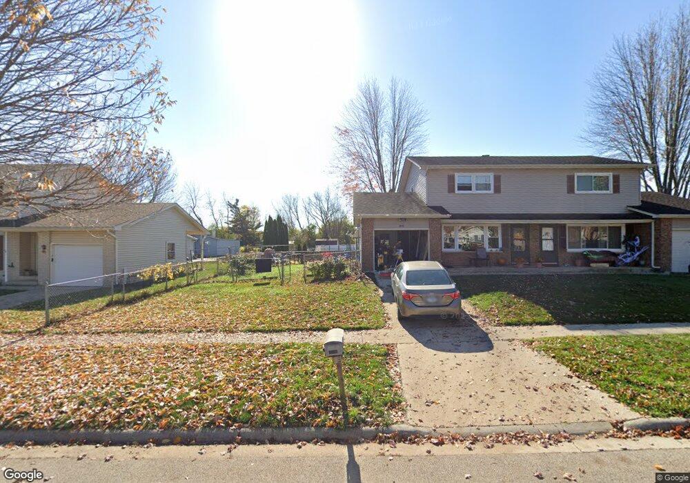
1683 Sheffield Dr Elgin, IL 60123
Century Oaks West NeighborhoodEstimated Value: $264,000 - $294,560
3
Beds
2
Baths
1,200
Sq Ft
$231/Sq Ft
Est. Value
About This Home
This home is located at 1683 Sheffield Dr, Elgin, IL 60123 and is currently estimated at $277,640, approximately $231 per square foot. 1683 Sheffield Dr is a home located in Kane County with nearby schools including Century Oaks Elementary School, Kimball Middle School, and Larkin High School.
Ownership History
Date
Name
Owned For
Owner Type
Purchase Details
Closed on
May 29, 2002
Sold by
Dillow Charlene and Dillow Ron
Bought by
Chimoun Younan and Boulos Mariam
Current Estimated Value
Home Financials for this Owner
Home Financials are based on the most recent Mortgage that was taken out on this home.
Original Mortgage
$119,000
Interest Rate
6.75%
Mortgage Type
Purchase Money Mortgage
Purchase Details
Closed on
May 25, 2000
Sold by
Dillow Claude and Dillow Carol
Bought by
Norman Charlene and Dillow Ron
Home Financials for this Owner
Home Financials are based on the most recent Mortgage that was taken out on this home.
Original Mortgage
$214,725
Interest Rate
8.64%
Mortgage Type
FHA
Create a Home Valuation Report for This Property
The Home Valuation Report is an in-depth analysis detailing your home's value as well as a comparison with similar homes in the area
Home Values in the Area
Average Home Value in this Area
Purchase History
We collect this data history from publicly available records. To have your information removed, we recommend requesting removal directly through your county’s website.
| Date | Buyer | Sale Price | Title Company |
|---|---|---|---|
| Chimoun Younan | $149,000 | Chicago Title Insurance Co | |
| Norman Charlene | $250,000 | -- |
Source: Public Records
Mortgage History
We collect this data history from publicly available records. To have your information removed, we recommend requesting removal directly through your county’s website.
| Date | Status | Borrower | Loan Amount |
|---|---|---|---|
| Previous Owner | Chimoun Younan | $119,000 | |
| Previous Owner | Norman Charlene | $214,725 |
Source: Public Records
Tax History
| Year | Tax Paid | Tax Assessment Tax Assessment Total Assessment is a certain percentage of the fair market value that is determined by local assessors to be the total taxable value of land and additions on the property. | Land | Improvement |
|---|---|---|---|---|
| 2024 | $4,579 | $65,214 | $13,918 | $51,296 |
| 2023 | $4,340 | $58,916 | $12,574 | $46,342 |
| 2022 | $4,138 | $53,721 | $11,465 | $42,256 |
| 2021 | $3,946 | $50,225 | $10,719 | $39,506 |
| 2020 | $3,826 | $47,948 | $10,233 | $37,715 |
| 2019 | $3,705 | $45,674 | $9,748 | $35,926 |
| 2018 | $3,661 | $43,028 | $9,183 | $33,845 |
| 2017 | $3,567 | $40,677 | $8,681 | $31,996 |
| 2016 | $3,385 | $37,738 | $8,054 | $29,684 |
| 2015 | -- | $34,590 | $7,382 | $27,208 |
| 2014 | -- | $34,163 | $7,291 | $26,872 |
| 2013 | -- | $35,064 | $7,483 | $27,581 |
Source: Public Records
Map
Nearby Homes
- 88 Devonshire Cir Unit 1
- 1285 N Lyle Ave
- 25 Devonshire Cir
- 919 Millcreek Cir
- 801 N Mclean Blvd Unit 140
- 801 N Mclean Blvd Unit 206
- 801 N Mclean Blvd Unit 330
- 801 N Mclean Blvd Unit 320
- 801 N Mclean Blvd Unit 124
- 801 N Mclean Blvd Unit 136
- 801 N Mclean Blvd Unit 222
- 801 N Mclean Blvd Unit 156
- 801 N Mclean Blvd Unit 308
- 836 Millcreek Cir
- 637 N Lyle Ave
- 1406 Kaskaskia Ave
- 585 N Lyle Ave
- 530 Cumberland Trail
- 506 Shenandoah Trail
- 10 Chateau Dr
- 1675 Sheffield Dr
- 1685 Sheffield Dr
- 1691 Sheffield Dr
- 1691 Sheffield Dr Unit 1691
- 1288 Pappas Ct
- 1673 Sheffield Dr
- 1693 Sheffield Dr
- 1286 Pappas Ct
- 1680 Sheffield Dr
- 1550 Sheffield Dr
- Lot 129 Sheffield Dr
- 1697 Sheffield Dr
- 1699 Sheffield Dr
- 1304 Pappas Dr
- 1284 Pappas Ct
- 1282 Pappas Ct Unit 84
- 1704 Sheffield Dr Unit 4
- 1715 Sheffield Dr
- 1715 Sheffield Dr Unit 4
- 1703 Sheffield Dr Unit 5
Your Personal Tour Guide
Ask me questions while you tour the home.