169 Buice Rd Barnesville, GA 30204
Estimated Value: $431,000 - $502,000
About This Home
This home is located at 169 Buice Rd, Barnesville, GA 30204 and is currently estimated at $462,994, approximately $385 per square foot. 169 Buice Rd is a home with nearby schools including Lamar County Primary School, Lamar County Elementary School, and Lamar County Middle School.
Ownership History
We collect this data history from publicly available records. To have your information removed, we recommend requesting removal directly through your county’s website.
Purchase Details
Purchase Details
Purchase Details
Purchase Details
Purchase History
We collect this data history from publicly available records. To have your information removed, we recommend requesting removal directly through your county’s website.
| Date | Buyer | Sale Price | Title Company |
|---|---|---|---|
| -- | -- | ||
| -- | -- | ||
| -- | -- | ||
| -- | -- | ||
| -- | -- | ||
| $8,500 | -- |
Tax History
We collect this data history from publicly available records. To have your information removed, we recommend requesting removal directly through your county’s website.
| Year | Tax Paid | Tax Assessment Tax Assessment Total Assessment is a certain percentage of the fair market value that is determined by local assessors to be the total taxable value of land and additions on the property. | Land | Improvement |
|---|---|---|---|---|
| 2025 | $2,870 | $160,009 | $55,779 | $104,230 |
| 2024 | $2,248 | $129,753 | $55,779 | $73,974 |
| 2023 | $3,360 | $139,914 | $64,838 | $75,076 |
| 2022 | $3,326 | $138,670 | $69,490 | $69,180 |
| 2021 | $1,492 | $111,720 | $54,178 | $57,542 |
| 2020 | $1,488 | $111,754 | $56,566 | $55,188 |
| 2019 | $1,148 | $101,222 | $56,566 | $44,656 |
| 2018 | $1,094 | $101,222 | $56,566 | $44,656 |
| 2017 | $1,100 | $101,222 | $56,566 | $44,656 |
| 2016 | $1,112 | $101,222 | $56,566 | $44,656 |
| 2015 | $1,121 | $101,222 | $56,566 | $44,656 |
| 2014 | $1,101 | $101,222 | $56,566 | $44,656 |
| 2013 | -- | $101,222 | $56,566 | $44,655 |
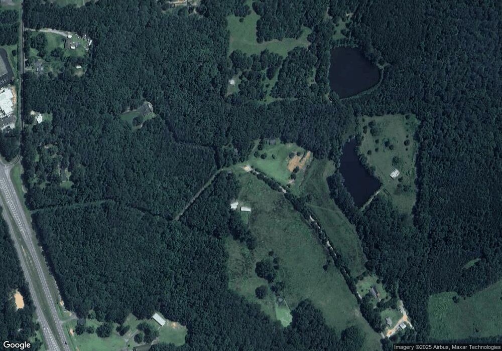
Map
- 103 Silver Dollar Rd
- 0 Silver Dollar Rd Unit 10552561
- 144 Hwy 341 S
- V L Silver Dollar Rd
- 160 Deerfield Trace
- 113 Heatherwood Ln
- 117 Masons Ridge
- 0 Main St Unit 10711218
- 206 Cole Forest Blvd
- 147 Evergreen S
- 154 Cole Forest Blvd
- 220 Ennis Rd
- 119 Mylee Cove
- 204 Mill St
- 0 Mill St Unit 10791247
- 118 Meadowbrooke Dr
- 34 Jackson St
- LOT 10 Westchester Dr
- 178 Barnesville Ave
- 218 City Pond Rd
- 125 Buice Rd
- 125 Buice Rd
- 113 Buice Rd
- 109 Liz Acres Dr
- 109 Liz Acres Dr
- 109 Liz Acres Dr
- 201 36 Bypass
- 201 Highway 36 Bypass
- 201 36 Bypass
- 201 36 Bypass
- 135 Liz Acres Dr
- 141 Liz Acres Dr
- 149 Silver Dollar Rd
- 128 Liz Acres Dr
- 253 36 Bypass
- 0 Liz Acres Rd Unit 20056664
- 0 Liz Acres Rd Unit 20032687
- 0 Liz Acres Rd Unit 8725299
- 132 Liz Acres Dr
- 138 Liz Acres Dr
Ask me questions while you tour the home.