169 Dunstable Rd Westford, MA 01886
Estimated Value: $814,000 - $881,000
3
Beds
3
Baths
2,020
Sq Ft
$417/Sq Ft
Est. Value
About This Home
This home is located at 169 Dunstable Rd, Westford, MA 01886 and is currently estimated at $842,476, approximately $417 per square foot. 169 Dunstable Rd is a home located in Middlesex County with nearby schools including Rita E. Miller Elementary School, Day Elementary School, and Stony Brook School.
Create a Home Valuation Report for This Property
The Home Valuation Report is an in-depth analysis detailing your home's value as well as a comparison with similar homes in the area
Home Values in the Area
Average Home Value in this Area
Tax History
| Year | Tax Paid | Tax Assessment Tax Assessment Total Assessment is a certain percentage of the fair market value that is determined by local assessors to be the total taxable value of land and additions on the property. | Land | Improvement |
|---|---|---|---|---|
| 2025 | $9,671 | $718,000 | $341,100 | $376,900 |
| 2024 | $9,474 | $688,000 | $324,800 | $363,200 |
| 2023 | $9,448 | $640,100 | $310,400 | $329,700 |
| 2022 | $9,321 | $578,200 | $255,900 | $322,300 |
| 2021 | $8,937 | $537,100 | $255,900 | $281,200 |
| 2020 | $8,813 | $539,700 | $255,900 | $283,800 |
| 2019 | $8,495 | $513,000 | $245,900 | $267,100 |
| 2018 | $8,139 | $503,000 | $235,900 | $267,100 |
| 2017 | $7,731 | $471,100 | $235,900 | $235,200 |
| 2016 | $7,718 | $473,500 | $235,900 | $237,600 |
Source: Public Records
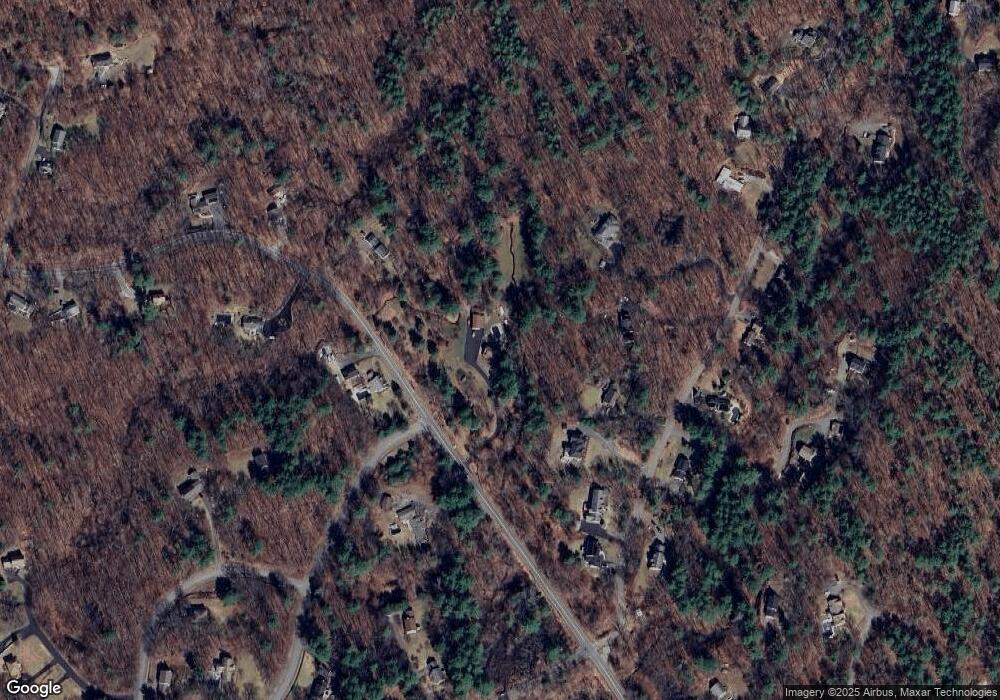
Map
Nearby Homes
- 13 Farmhouse Row Unit 13
- 14 Whispering Pines Rd
- 7 Lazy Day Dr Unit 7
- 7 Tenney Rd
- 5 Farmers Way
- 13 Long Rd
- 10 Davis Rd
- 13 Stone Ridge Rd
- 16 Saint Paul Ln Unit Lot 20
- 26 Nevada Rd
- 41 Chestnut Rd
- 16 Shipley Cir
- 5 Eagles Nest Rd
- 160 Westford Rd
- 99 Red Gate Rd
- 117 Depot St
- 338 Cow Pond Brook Rd
- 17 Maple St
- 271 Hoyts Wharf Rd
- 5 Forrest Rd
Your Personal Tour Guide
Ask me questions while you tour the home.