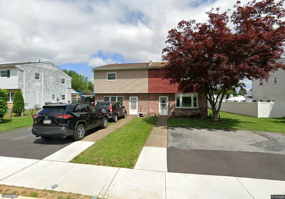
169 E 2nd St Alburtis, PA 18011
Estimated Value: $222,000 - $237,498
3
Beds
2
Baths
1,240
Sq Ft
$187/Sq Ft
Est. Value
About This Home
This home is located at 169 E 2nd St, Alburtis, PA 18011 and is currently estimated at $231,625, approximately $186 per square foot. 169 E 2nd St is a home located in Lehigh County with nearby schools including Alburtis Elementary School, Lower Macungie Middle School, and Emmaus High School.
Ownership History
Date
Name
Owned For
Owner Type
Purchase Details
Closed on
Feb 24, 2025
Sold by
Knappenberger Kelly and Knappenberger Brian
Bought by
Knappenberger Brian and Knappenberger Kelly
Current Estimated Value
Purchase Details
Closed on
Nov 8, 1999
Sold by
Baker Robert D and Baker Julie A
Bought by
Knappenberger Brian and Schwenk Kelly
Purchase Details
Closed on
Jan 13, 1989
Sold by
Lick Warren W and Lick Rosemarie
Bought by
Baker Robert D and Baker Julie A
Purchase Details
Closed on
Jan 14, 1977
Bought by
Lick Warren W and Lick Rosemarie
Create a Home Valuation Report for This Property
The Home Valuation Report is an in-depth analysis detailing your home's value as well as a comparison with similar homes in the area
Home Values in the Area
Average Home Value in this Area
Purchase History
| Date | Buyer | Sale Price | Title Company |
|---|---|---|---|
| Knappenberger Brian | -- | None Listed On Document | |
| Knappenberger Brian | $67,000 | -- | |
| Baker Robert D | $75,700 | -- | |
| Lick Warren W | $25,000 | -- |
Source: Public Records
Tax History
| Year | Tax Paid | Tax Assessment Tax Assessment Total Assessment is a certain percentage of the fair market value that is determined by local assessors to be the total taxable value of land and additions on the property. | Land | Improvement |
|---|---|---|---|---|
| 2026 | $3,071 | $101,700 | $14,900 | $86,800 |
| 2025 | $2,986 | $101,700 | $14,900 | $86,800 |
| 2024 | $2,910 | $101,700 | $14,900 | $86,800 |
| 2023 | $2,775 | $101,700 | $14,900 | $86,800 |
| 2022 | $2,717 | $101,700 | $86,800 | $14,900 |
| 2021 | $2,666 | $101,700 | $14,900 | $86,800 |
| 2020 | $2,643 | $101,700 | $14,900 | $86,800 |
| 2019 | $2,629 | $101,700 | $14,900 | $86,800 |
| 2018 | $2,599 | $101,700 | $14,900 | $86,800 |
| 2017 | $2,559 | $101,700 | $14,900 | $86,800 |
| 2016 | -- | $101,700 | $14,900 | $86,800 |
| 2015 | -- | $101,700 | $14,900 | $86,800 |
| 2014 | -- | $101,700 | $14,900 | $86,800 |
Source: Public Records
Map
Nearby Homes
- 195 Maple Ct
- 442 Franklin St
- 428 Thomas St
- 22 Front St
- 112 Front St
- 122 Front St
- 7707 Racite Rd
- 7719 Barrow Dr
- 226 Front St
- 317 W 2nd St
- 52 W 5th St
- 314 Ridgeview Dr
- 7524 Scenic View Dr
- 3797 Chestnut Rd
- 8297 Mertztown Rd
- 2141 Aster Rd
- 1863 Aster Rd
- 0 Clauss Hunt Knight Dr Unit 10 Units
- 8014 Heritage Dr
- 2301 Goldenrod Dr
Your Personal Tour Guide
Ask me questions while you tour the home.