Estimated Value: $305,000
About This Home
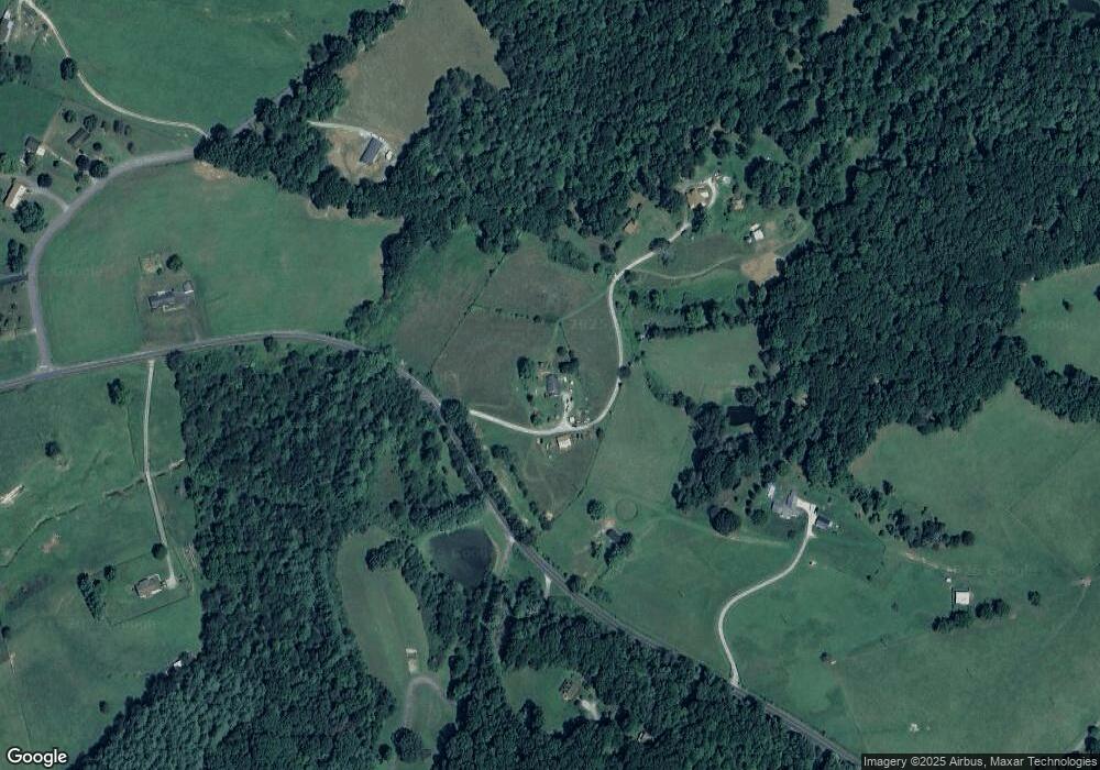
This home is located at 1694 High Rock Hill Rd, Pilot, VA 24138 and is currently estimated at $305,000, approximately $271 per square foot. 1694 High Rock Hill Rd is a home located in Montgomery County with nearby schools including Auburn Elementary School, Auburn Middle School, and Auburn High School.
Ownership History
We collect this data history from publicly available records. To have your information removed, we recommend requesting removal directly through your county’s website.
Purchase Details
Purchase Details
Purchase Details
Purchase History
We collect this data history from publicly available records. To have your information removed, we recommend requesting removal directly through your county’s website.
| Date | Buyer | Sale Price | Title Company |
|---|---|---|---|
| -- | None Listed On Document | ||
| -- | None Listed On Document | ||
| -- | -- |
Tax History
We collect this data history from publicly available records. To have your information removed, we recommend requesting removal directly through your county’s website.
| Year | Tax Paid | Tax Assessment Tax Assessment Total Assessment is a certain percentage of the fair market value that is determined by local assessors to be the total taxable value of land and additions on the property. | Land | Improvement |
|---|---|---|---|---|
| 2026 | $2,491 | $307,500 | $145,500 | $162,000 |
| 2025 | $23 | $307,500 | $145,500 | $162,000 |
| 2024 | $2,306 | $307,500 | $145,500 | $162,000 |
| 2023 | $2,153 | $307,500 | $145,500 | $162,000 |
| 2022 | $2,482 | $278,900 | $145,500 | $133,400 |
| 2021 | $2,482 | $278,900 | $145,500 | $133,400 |
| 2020 | $2,482 | $278,900 | $145,500 | $133,400 |
| 2019 | $2,482 | $278,900 | $145,500 | $133,400 |
| 2018 | $2,457 | $276,100 | $145,500 | $130,600 |
| 2017 | $2,457 | $276,100 | $145,500 | $130,600 |
| 2016 | $2,457 | $276,100 | $145,500 | $130,600 |
| 2015 | $2,457 | $276,100 | $145,500 | $130,600 |
| 2014 | $2,347 | $263,700 | $139,600 | $124,100 |
Map
- 2012 Huffville Rd
- TBD Huffville Rd
- 0 Huffville Rd Unit 928511
- 938 Boulder Ln
- 0 Laurel Creek Rd NE
- 1212 Eagle View Dr NE
- 380 Laurel Creek Rd NE
- 1978 Laurel Creek Rd NE
- 2822 Huffville Rd
- 786 Huffville Rd NE
- 621 Wild Cherry Rd NE
- 595 Wild Cherry Rd NE
- 674 Wild Cherry Rd NE
- 2890 Stonewall Rd NE
- 3150 Stonewall Rd NE
- 3200 Stonewall Rd NE
- 183 Willow Brook Ln NE
- 2537 Rosemary Rd
- 2944 Pilot Rd
- 2601 Chaucer Ln
- 1740 High Rock Hill Rd
- 1698 High Rock Hill Rd
- 1788 High Rock Hill Rd
- 1665 Huffville Rd
- 1751 High Rock Hill Rd
- 1632 High Rock Hill Rd
- 1625 High Rock Hill Rd
- 1729 High Rock Hill Rd
- 4355 Gold Rush Rd
- 4339 Gold Rush Rd
- 1628 Huffville Rd
- 1594 Huffville Rd
- 1610 Huffville Rd
- 1535 High Rock Hill Rd
- 1860 High Rock Hill Rd
- 4362 Gold Rush Rd
- 1515 High Rock Hill Rd
- 1524 High Rock Hill Rd
- 4382 Gold Rush Rd
- 4344 Gold Rush Rd
Ask me questions while you tour the home.