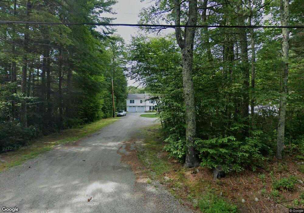
17 Anthony Rd Foster, RI 02825
Estimated Value: $579,000 - $677,307
3
Beds
3
Baths
1,932
Sq Ft
$325/Sq Ft
Est. Value
About This Home
This home is located at 17 Anthony Rd, Foster, RI 02825 and is currently estimated at $628,154, approximately $325 per square foot. 17 Anthony Rd is a home located in Providence County with nearby schools including Capt. Isaac Paine El. School, Ponaganset Middle School, and Ponaganset High School.
Ownership History
Date
Name
Owned For
Owner Type
Purchase Details
Closed on
Sep 20, 1999
Sold by
Sukaskas Joseph M
Bought by
Mulcowney Brian and Chapman Maria
Current Estimated Value
Create a Home Valuation Report for This Property
The Home Valuation Report is an in-depth analysis detailing your home's value as well as a comparison with similar homes in the area
Home Values in the Area
Average Home Value in this Area
Purchase History
| Date | Buyer | Sale Price | Title Company |
|---|---|---|---|
| Mulcowney Brian | $45,000 | -- |
Source: Public Records
Mortgage History
| Date | Status | Borrower | Loan Amount |
|---|---|---|---|
| Open | Mulcowney Brian | $205,000 | |
| Closed | Mulcowney Brian | $163,581 | |
| Closed | Mulcowney Brian | $168,484 | |
| Closed | Mulcowney Brian | $168,800 |
Source: Public Records
Tax History
| Year | Tax Paid | Tax Assessment Tax Assessment Total Assessment is a certain percentage of the fair market value that is determined by local assessors to be the total taxable value of land and additions on the property. | Land | Improvement |
|---|---|---|---|---|
| 2025 | $13,299 | $618,000 | $135,600 | $482,400 |
| 2024 | $12,873 | $618,000 | $135,600 | $482,400 |
| 2023 | $9,082 | $400,600 | $106,300 | $294,300 |
| 2022 | $8,797 | $400,600 | $106,300 | $294,300 |
| 2021 | $8,549 | $400,600 | $106,300 | $294,300 |
| 2020 | $8,869 | $372,800 | $93,500 | $279,300 |
| 2018 | $8,515 | $372,800 | $93,500 | $279,300 |
| 2017 | $8,463 | $364,000 | $93,500 | $270,500 |
| 2015 | $7,797 | $364,000 | $93,500 | $270,500 |
| 2014 | $5,311 | $252,200 | $93,500 | $158,700 |
Source: Public Records
Map
Nearby Homes
- 91 Danielson Pike
- 120 Danielson Pike
- 0 Central Pike
- 0 Danielson Pike Unit 1347736
- 0 Danielson Pike Unit 1406607
- 29 Mount Hygeia Rd
- 18 King Rd
- 38 Hartford Pike
- 0 E Killingly Rd Unit 1406613
- 40 Blueberry Ln
- 1520 Chopmist Hill Rd Unit 14
- 1567 Plainfield Pike
- 119 E Killingly Rd
- 0 Stone Dam Rd
- 13 Shippee Schoolhouse Rd
- 188 Danielson Pike
- 55 Gentry Way
- 37 Anan Wade Rd
- 371 Central Pike
- 922 Plainfield Pike
- 18 Anthony Rd
- 14 Anthony Rd
- 14A Anthony Rd
- 13 Anthony Rd
- 21 Anthony Rd
- 10 Anthony Rd
- 6 Anthony Rd
- 23A Anthony Rd
- 7 Anthony Rd
- 53C Danielson Pike
- 85 Danielson Pike
- 53A Danielson Pike
- 53 Danielson Pike
- 16 Anthony Rd
- 29 Anthony Rd
- 79 Old Danielson Pike
- 53B Danielson Pike
- 80 Old Danielson Pike
- 82 Old Danielson Pike
- 88 Danielson Pike
Your Personal Tour Guide
Ask me questions while you tour the home.