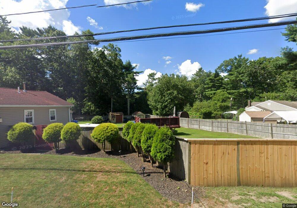
17 Barlow Ave West Wareham, MA 02576
Estimated Value: $468,000
Studio
--
Bath
--
Sq Ft
6,534
Sq Ft Lot Lot
About This Home
This home is located at 17 Barlow Ave, West Wareham, MA 02576 and is currently estimated at $468,000. 17 Barlow Ave is a home located in Plymouth County.
Ownership History
Date
Name
Owned For
Owner Type
Purchase Details
Closed on
Aug 14, 2012
Sold by
Goncalves Donald R
Bought by
Braga Herbert
Current Estimated Value
Purchase Details
Closed on
Mar 14, 2011
Sold by
Murphy Anne M
Bought by
Goncalves Donald R
Purchase Details
Closed on
Dec 21, 2007
Sold by
Murphy Patrick J and Murphy John J
Bought by
Murphy Patrick J and Murphy Anne M
Purchase Details
Closed on
Jun 25, 2004
Sold by
Murphy Michael J
Bought by
Murphy Patrick J
Create a Home Valuation Report for This Property
The Home Valuation Report is an in-depth analysis detailing your home's value as well as a comparison with similar homes in the area
Purchase History
| Date | Buyer | Sale Price | Title Company |
|---|---|---|---|
| Braga Herbert | -- | -- | |
| Braga Herbert | -- | -- | |
| Goncalves Donald R | -- | -- | |
| Goncalves Donald R | -- | -- | |
| Murphy Patrick J | -- | -- | |
| Murphy Patrick J | -- | -- | |
| Murphy Patrick J | -- | -- | |
| Murphy Patrick J | -- | -- | |
| Murphy Patrick J | -- | -- |
Source: Public Records
Tax History
| Year | Tax Paid | Tax Assessment Tax Assessment Total Assessment is a certain percentage of the fair market value that is determined by local assessors to be the total taxable value of land and additions on the property. | Land | Improvement |
|---|---|---|---|---|
| 2025 | $1,115 | $107,000 | $100,900 | $6,100 |
| 2024 | $913 | $81,300 | $77,800 | $3,500 |
| 2023 | $971 | $73,900 | $70,700 | $3,200 |
| 2022 | $971 | $73,700 | $70,700 | $3,000 |
| 2021 | $991 | $73,700 | $70,700 | $3,000 |
| 2020 | $977 | $73,700 | $70,700 | $3,000 |
| 2019 | $890 | $67,000 | $65,200 | $1,800 |
| 2018 | $897 | $65,800 | $65,200 | $600 |
| 2017 | $877 | $65,200 | $65,200 | $0 |
| 2016 | $840 | $62,100 | $62,100 | $0 |
| 2015 | $812 | $62,100 | $62,100 | $0 |
| 2014 | $748 | $58,200 | $58,200 | $0 |
Source: Public Records
Map
Nearby Homes
- 21 River Rd
- 10 3rd Ave
- 55 Bullivant Farm Rd
- 34 Pine Hill Ln
- 12 Taft St
- 37 Lincoln Hwy
- 26 Washington Dr
- 12 Parker Dr
- 233 Marion Rd
- 127 County Rd
- 44 Stoney Run Ln
- 8 Swifts Beach Rd Unit 33
- 31 Stoney Run Ln
- 3 Cranberry Grove Way Unit C
- 245 Wareham Rd
- 57 Harvest Cir
- 4 Mather Dr
- 4 Blackhall Ct
- 492 Delano Rd
- 1 Barnes St
Your Personal Tour Guide
Ask me questions while you tour the home.