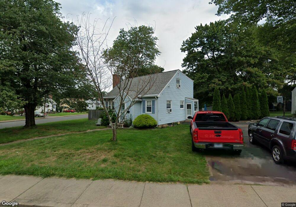
17 Barry Rd Manchester, CT 06042
Buckley District NeighborhoodEstimated Value: $318,000 - $358,000
About This Home
This home is located at 17 Barry Rd, Manchester, CT 06042 and is currently estimated at $342,440, approximately $240 per square foot. 17 Barry Rd is a home located in Hartford County with nearby schools including Buckley School, Illing Middle School, and Elisabeth M. Bennet Academy.
Ownership History
We collect this data history from publicly available records. To have your information removed, we recommend requesting removal directly through your county’s website.
Purchase Details
Purchase Details
Purchase Details
Home Values in the Area
Average Home Value in this Area
Purchase History
We collect this data history from publicly available records. To have your information removed, we recommend requesting removal directly through your county’s website.
| Date | Buyer | Sale Price | Title Company |
|---|---|---|---|
| $141,000 | -- | ||
| $92,000 | -- | ||
| $130,000 | -- |
Tax History
We collect this data history from publicly available records. To have your information removed, we recommend requesting removal directly through your county’s website.
| Year | Tax Paid | Tax Assessment Tax Assessment Total Assessment is a certain percentage of the fair market value that is determined by local assessors to be the total taxable value of land and additions on the property. | Land | Improvement |
|---|---|---|---|---|
| 2025 | $6,284 | $157,800 | $38,500 | $119,300 |
| 2024 | $6,104 | $157,800 | $38,500 | $119,300 |
| 2023 | $5,870 | $157,800 | $38,500 | $119,300 |
| 2022 | $5,755 | $157,800 | $38,500 | $119,300 |
| 2021 | $4,072 | $111,500 | $33,000 | $78,500 |
| 2020 | $4,072 | $111,500 | $33,000 | $78,500 |
| 2019 | $4,072 | $111,500 | $33,000 | $78,500 |
| 2018 | $3,993 | $111,500 | $33,000 | $78,500 |
| 2017 | $3,886 | $111,500 | $33,000 | $78,500 |
| 2016 | $3,949 | $113,300 | $42,100 | $71,200 |
| 2015 | $3,929 | $113,300 | $42,100 | $71,200 |
| 2014 | $3,852 | $113,300 | $42,100 | $71,200 |
Map
- 64 Bretton Rd
- 386 Parker St
- 373 Parker St
- 65 Ambassador Dr Unit A
- 304 Green Rd Unit A
- 302 Green Rd Unit D
- 88 Ambassador Dr Unit A
- 141 Tanner St
- 4 Robin Rd
- 19 Kennedy Rd
- 279 Parker St
- 436 Middle Turnpike E
- 241 Henry St
- 604 Middle Turnpike E
- 114 Richmond Dr
- 137 Green Rd
- 9 Stephen St
- 193 Woodbridge St
- 25 Cliffside Dr Unit E
- 47 Gerard St
Ask me questions while you tour the home.