17 Bridle Path Ln Windham, ME 04062
Windham AreaEstimated Value: $412,000 - $538,913
About This Home
This home is located at 17 Bridle Path Ln, Windham, ME 04062 and is currently estimated at $484,978, approximately $322 per square foot. 17 Bridle Path Ln is a home with nearby schools including Manchester School, Windham Primary School, and Windham Middle School.
Ownership History
We collect this data history from publicly available records. To have your information removed, we recommend requesting removal directly through your county’s website.
Purchase Details
Home Financials for this Owner
Home Financials are based on the most recent Mortgage that was taken out on this home.Home Values in the Area
Average Home Value in this Area
Purchase History
We collect this data history from publicly available records. To have your information removed, we recommend requesting removal directly through your county’s website.
| Date | Buyer | Sale Price | Title Company |
|---|---|---|---|
| -- | -- |
Mortgage History
We collect this data history from publicly available records. To have your information removed, we recommend requesting removal directly through your county’s website.
| Date | Status | Borrower | Loan Amount |
|---|---|---|---|
| Closed | $50,000 | ||
| Closed | $204,000 | ||
| Closed | $224,871 |
Tax History
We collect this data history from publicly available records. To have your information removed, we recommend requesting removal directly through your county’s website.
| Year | Tax Paid | Tax Assessment Tax Assessment Total Assessment is a certain percentage of the fair market value that is determined by local assessors to be the total taxable value of land and additions on the property. | Land | Improvement |
|---|---|---|---|---|
| 2025 | $5,315 | $440,700 | $126,400 | $314,300 |
| 2024 | $4,903 | $427,500 | $126,400 | $301,100 |
| 2023 | $4,575 | $408,500 | $117,600 | $290,900 |
| 2022 | $4,218 | $363,300 | $104,800 | $258,500 |
| 2021 | $3,678 | $291,900 | $91,200 | $200,700 |
| 2020 | $3,845 | $256,300 | $80,000 | $176,300 |
| 2019 | $3,752 | $256,300 | $80,000 | $176,300 |
| 2018 | $3,570 | $235,200 | $72,000 | $163,200 |
| 2017 | $3,454 | $210,200 | $64,000 | $146,200 |
| 2016 | $3,300 | $210,200 | $64,000 | $146,200 |
| 2015 | $3,185 | $210,200 | $64,000 | $146,200 |
| 2014 | $3,084 | $210,200 | $64,000 | $146,200 |
| 2013 | -- | $210,200 | $64,000 | $146,200 |
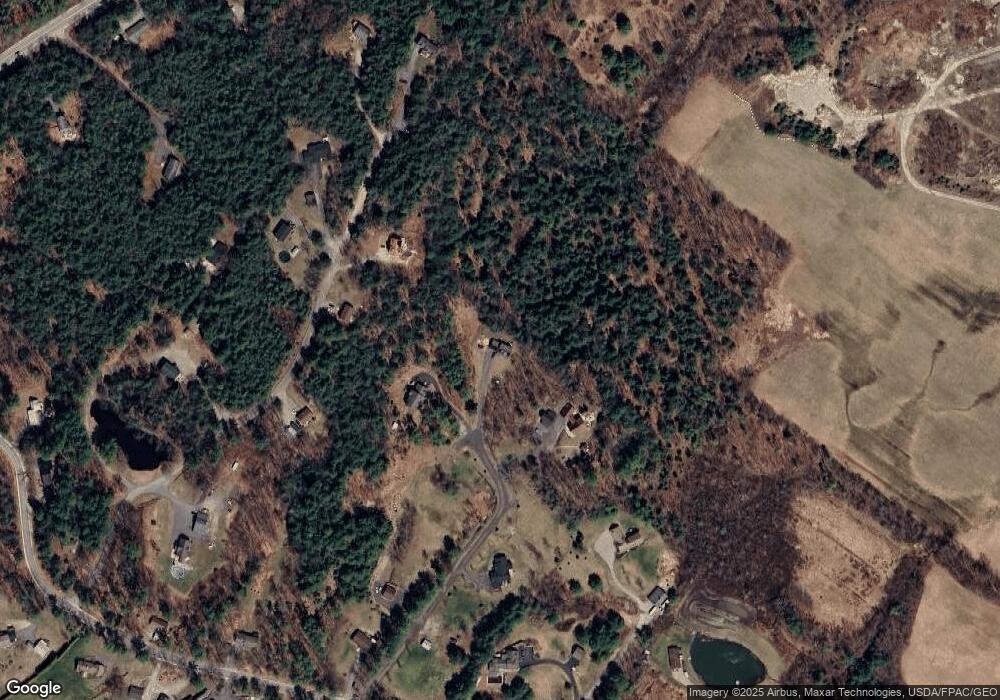
Map
- 31 Brand Rd
- 8 Dutton Hill Rd
- 68 Sky Dr
- 14 Voyager Ln Unit 14
- 14 Birchwood Ave
- 25 Forbes Ln
- 10 Stillwater Dr Unit 1128
- 10 Stillwater Dr Unit 1126
- 10 Stillwater Dr Unit 3133
- 20 Crossridge Dr
- 516 Falmouth Rd
- 72 Brown Cove Rd
- 9 Dusty Rhoades Ln
- 7 Mancini Rd
- 11 Belvedere Dr
- 36 Belvedere Dr
- 20 Ladyslipper Dr
- 0 Tavern Hill
- 68 Outlet Cove Rd
- 8 Emerson Dr
- 18 Bridle Path Ln
- 15 Bridle Path Ln
- 9 Bridle Path Ln
- 43 Perks Peak Rd
- 50 Perks Peak Rd
- 47 Perks Peak Rd
- 35 Perks Peak Rd
- Lot 2 Bridle Path Ln
- 46 Perks Peak Rd
- 20 Firefly Ln
- 6 Bridle Path Ln
- 12 Firefly Ln
- Lot 4 Bridle Path Ln
- Lot 3 Bridle Path Ln
- 61 Perks Peak Rd
- 1 Bridle Path Ln
- 79 Brand Rd
- 23 Tower Rd
- 58 Perks Peak Rd
- 10 Spirit Meadow Ln
Ask me questions while you tour the home.