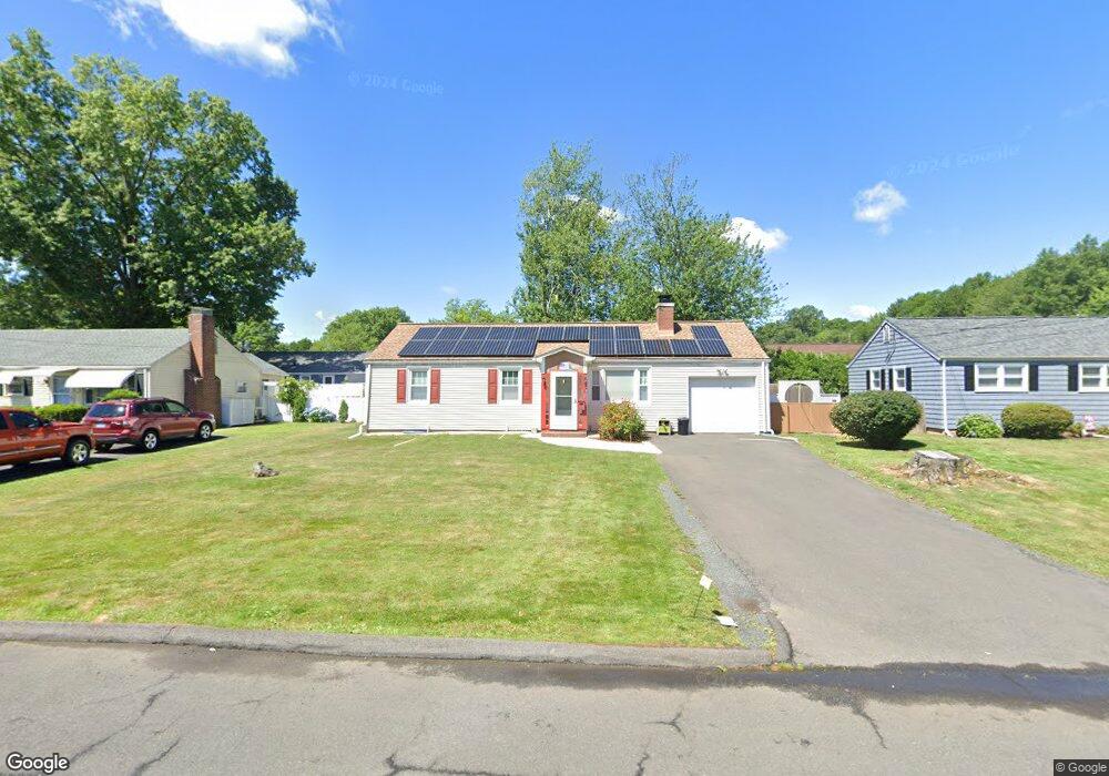
17 Brookside Cir Wethersfield, CT 06109
Estimated Value: $258,000 - $297,940
3
Beds
1
Bath
888
Sq Ft
$316/Sq Ft
Est. Value
About This Home
This home is located at 17 Brookside Cir, Wethersfield, CT 06109 and is currently estimated at $280,985, approximately $316 per square foot. 17 Brookside Cir is a home located in Hartford County with nearby schools including Emerson-Williams School, Silas Deane Middle School, and Wethersfield High School.
Ownership History
Date
Name
Owned For
Owner Type
Purchase Details
Closed on
Jun 28, 2005
Sold by
Marshall Robert M
Bought by
Dones Magaly
Current Estimated Value
Home Financials for this Owner
Home Financials are based on the most recent Mortgage that was taken out on this home.
Original Mortgage
$143,920
Interest Rate
5.75%
Purchase Details
Closed on
Sep 30, 1999
Sold by
Labella John R
Bought by
Marshall Robert M
Purchase Details
Closed on
Aug 25, 1997
Sold by
Luty Anna M Est
Bought by
Labella John R
Create a Home Valuation Report for This Property
The Home Valuation Report is an in-depth analysis detailing your home's value as well as a comparison with similar homes in the area
Home Values in the Area
Average Home Value in this Area
Purchase History
| Date | Buyer | Sale Price | Title Company |
|---|---|---|---|
| Dones Magaly | $79,900 | -- | |
| Marshall Robert M | $97,500 | -- | |
| Labella John R | $67,500 | -- |
Source: Public Records
Mortgage History
| Date | Status | Borrower | Loan Amount |
|---|---|---|---|
| Open | Labella John R | $187,700 | |
| Closed | Labella John R | $143,920 | |
| Closed | Labella John R | $35,980 |
Source: Public Records
Tax History
| Year | Tax Paid | Tax Assessment Tax Assessment Total Assessment is a certain percentage of the fair market value that is determined by local assessors to be the total taxable value of land and additions on the property. | Land | Improvement |
|---|---|---|---|---|
| 2025 | $6,874 | $166,760 | $63,170 | $103,590 |
| 2024 | $4,752 | $109,940 | $57,520 | $52,420 |
| 2023 | $4,593 | $109,940 | $57,520 | $52,420 |
| 2022 | $4,516 | $109,940 | $57,520 | $52,420 |
| 2021 | $4,471 | $109,940 | $57,520 | $52,420 |
| 2020 | $4,473 | $109,940 | $57,520 | $52,420 |
| 2019 | $4,479 | $109,940 | $57,520 | $52,420 |
| 2018 | $4,368 | $107,100 | $54,200 | $52,900 |
| 2017 | $4,259 | $107,100 | $54,200 | $52,900 |
| 2016 | $4,128 | $107,100 | $54,200 | $52,900 |
| 2015 | $4,079 | $106,800 | $54,200 | $52,600 |
| 2014 | $3,924 | $106,800 | $54,200 | $52,600 |
Source: Public Records
Map
Nearby Homes
- 1 Brussels Ave
- 19 Albert Ave
- 1 Bristol St
- 219-221 Jordan Ln
- 192 Wolcott Hill Rd
- 64 Cromwell St
- 295 Ridge Rd Unit 8
- 55 Rutledge Rd
- 28 Bolton St
- 166 George St
- 144 Brown St
- 107 Harmund Place
- 23 Hillcrest Ave
- 18 Avalon Place
- 51 Hanmer St
- 317-319 Garden St
- 208 Mountain St
- 2020 Broad St Unit 6
- 183-185 Cheshire St
- 167 Campfield Ave
- 21 Brookside Cir
- 11 Brookside Cir
- 148 Brookside Cir
- 142 Brookside Cir
- 154 Brookside Cir
- 27 Brookside Cir
- 16 Brookside Cir
- 22 Brookside Cir
- 381 Jordan Ln
- 387 Jordan Ln
- 132 Brookside Cir
- 391 Jordan Ln
- 33 Brookside Cir
- 371 Jordan Ln
- 128 Brookside Cir
- 147 Brookside Cir
- 141 Brookside Cir
- 149 Brookside Cir
- 34 Brookside Cir
- 39 Brookside Cir
Your Personal Tour Guide
Ask me questions while you tour the home.