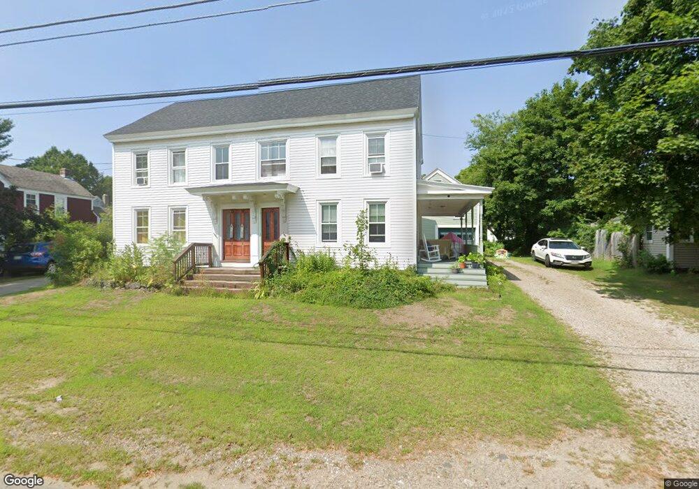
17 Brown St Kennebunk, ME 04043
Estimated Value: $545,000 - $746,000
6
Beds
3
Baths
3,500
Sq Ft
$193/Sq Ft
Est. Value
About This Home
This home is located at 17 Brown St, Kennebunk, ME 04043 and is currently estimated at $673,994, approximately $192 per square foot. 17 Brown St is a home located in York County with nearby schools including Kennebunk High School, School Around Us, and The New School.
Ownership History
Date
Name
Owned For
Owner Type
Purchase Details
Closed on
Oct 17, 2007
Sold by
Pomerleau Loretta W
Bought by
Norton Jonathan L
Current Estimated Value
Create a Home Valuation Report for This Property
The Home Valuation Report is an in-depth analysis detailing your home's value as well as a comparison with similar homes in the area
Home Values in the Area
Average Home Value in this Area
Purchase History
We collect this data history from publicly available records. To have your information removed, we recommend requesting removal directly through your county’s website.
| Date | Buyer | Sale Price | Title Company |
|---|---|---|---|
| Norton Jonathan L | -- | -- |
Source: Public Records
Mortgage History
We collect this data history from publicly available records. To have your information removed, we recommend requesting removal directly through your county’s website.
| Date | Status | Borrower | Loan Amount |
|---|---|---|---|
| Open | Norton Jonathan L | $27,315 |
Source: Public Records
Tax History
| Year | Tax Paid | Tax Assessment Tax Assessment Total Assessment is a certain percentage of the fair market value that is determined by local assessors to be the total taxable value of land and additions on the property. | Land | Improvement |
|---|---|---|---|---|
| 2025 | $6,524 | $662,300 | $224,200 | $438,100 |
| 2024 | $6,031 | $355,800 | $86,100 | $269,700 |
| 2023 | $5,711 | $355,800 | $86,100 | $269,700 |
| 2022 | $5,195 | $355,800 | $86,100 | $269,700 |
| 2021 | $5,070 | $355,800 | $86,100 | $269,700 |
| 2020 | $5,035 | $355,800 | $86,100 | $269,700 |
| 2019 | $4,892 | $355,800 | $86,100 | $269,700 |
| 2018 | $4,669 | $266,800 | $64,600 | $202,200 |
| 2017 | $4,416 | $266,800 | $64,600 | $202,200 |
| 2016 | $4,242 | $266,800 | $64,600 | $202,200 |
| 2015 | $4,082 | $266,800 | $64,600 | $202,200 |
| 2014 | -- | $266,800 | $64,600 | $202,200 |
Source: Public Records
Map
Nearby Homes
- 31 Brown St
- 30 York St Unit 1
- 7 Water St
- 13 Grove St Unit 3
- 24 Grove St Unit 24
- 7 Storer St
- 23 Chamberlain Way Unit 23
- 60 Brown St Unit 17
- 1 Hall St
- 93 Main St Unit A
- 15 Dane St
- 24 Cat Mousam Rd
- 10 Webhannet Place Unit 1
- 15 Webhannet Place Unit 10
- 9 Summer St
- 22 Greenwich Way Unit 40
- 1 Creekside Ct Unit 1
- 15 Casey Ln
- 1 Boundary Way
- 117 Cat Mousam Rd
Your Personal Tour Guide
Ask me questions while you tour the home.