17 Cedar St Rehoboth, MA 02769
Estimated Value: $706,000 - $821,000
3
Beds
3
Baths
2,424
Sq Ft
$317/Sq Ft
Est. Value
About This Home
This home is located at 17 Cedar St, Rehoboth, MA 02769 and is currently estimated at $768,218, approximately $316 per square foot. 17 Cedar St is a home located in Bristol County with nearby schools including Dighton-Rehoboth Regional High School.
Ownership History
Date
Name
Owned For
Owner Type
Purchase Details
Closed on
Aug 18, 2006
Sold by
Shaw Jason and Stuart-Veader June D
Bought by
Stuart-Veader June D and Shaw Wendy M
Current Estimated Value
Purchase Details
Closed on
Feb 23, 2004
Sold by
Veader Edward S and Stuart Veader June D
Bought by
Stuard Veader June D and Shaw Wendy M
Purchase Details
Closed on
Sep 23, 2002
Sold by
Ferreira Constr Co Inc
Bought by
Georgia Heather L
Purchase Details
Closed on
Sep 6, 2002
Sold by
Waterman Leo and Waterman Patricia M
Bought by
Ferreira Constr Co Inc
Create a Home Valuation Report for This Property
The Home Valuation Report is an in-depth analysis detailing your home's value as well as a comparison with similar homes in the area
Home Values in the Area
Average Home Value in this Area
Purchase History
We collect this data history from publicly available records. To have your information removed, we recommend requesting removal directly through your county’s website.
| Date | Buyer | Sale Price | Title Company |
|---|---|---|---|
| Stuart-Veader June D | -- | -- | |
| Stuard Veader June D | -- | -- | |
| Georgia Heather L | $1,000 | -- | |
| Ferreira Constr Co Inc | $200,000 | -- |
Source: Public Records
Tax History
| Year | Tax Paid | Tax Assessment Tax Assessment Total Assessment is a certain percentage of the fair market value that is determined by local assessors to be the total taxable value of land and additions on the property. | Land | Improvement |
|---|---|---|---|---|
| 2025 | $69 | $620,100 | $205,200 | $414,900 |
| 2024 | $6,298 | $554,400 | $205,200 | $349,200 |
| 2023 | $5,818 | $507,800 | $201,700 | $306,100 |
| 2022 | $5,818 | $459,200 | $201,700 | $257,500 |
| 2021 | $5,767 | $435,600 | $194,300 | $241,300 |
| 2020 | $5,715 | $435,600 | $194,300 | $241,300 |
| 2018 | $4,950 | $413,500 | $186,900 | $226,600 |
| 2017 | $4,836 | $385,000 | $186,900 | $198,100 |
| 2016 | $4,678 | $385,000 | $186,900 | $198,100 |
| 2015 | $4,414 | $358,600 | $187,400 | $171,200 |
| 2014 | $4,371 | $351,400 | $180,200 | $171,200 |
Source: Public Records
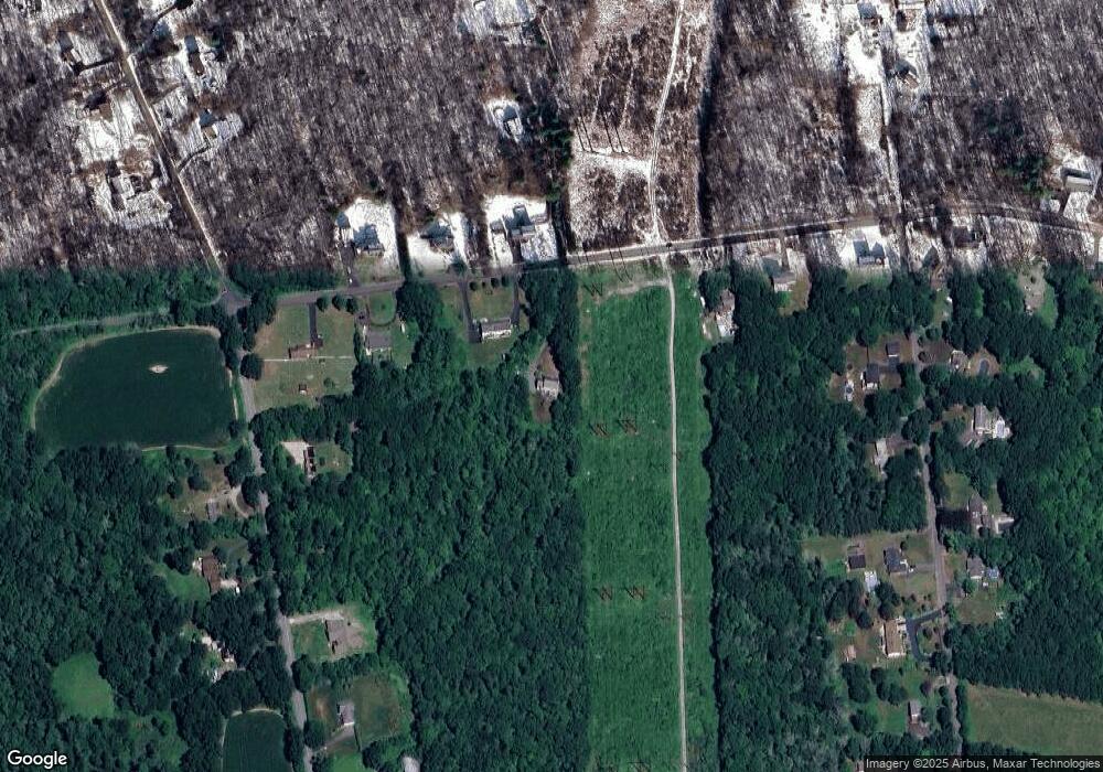
Map
Nearby Homes
- 140 Cedar St
- 2043 Wellington St
- 7 Judith Ann Cir Unit 31
- 185 Moulton St
- 202 Baker Rd
- 0 Wellington St
- 1224 Main St
- 79 Chestnut St
- 138 Chestnut St
- 47 Spring St
- 67 Martin St
- 197 Chestnut St
- R65 Clubhouse Dr Unit 65
- 74R Club House Dr Unit 74R
- R42 Club House Dr Unit R42
- R64 Clubhouse Dr Unit 64
- 76R Club House Dr Unit 76R
- R66 Club House Dr Unit R66
- 3080 Club House Dr
- 31 Sophia Dr
Your Personal Tour Guide
Ask me questions while you tour the home.