17 Crawford Ln Sherman, CT 06784
Estimated Value: $764,951 - $958,000
4
Beds
4
Baths
3,096
Sq Ft
$286/Sq Ft
Est. Value
About This Home
This home is located at 17 Crawford Ln, Sherman, CT 06784 and is currently estimated at $885,650, approximately $286 per square foot. 17 Crawford Ln is a home located in Fairfield County with nearby schools including Sherman School.
Ownership History
Date
Name
Owned For
Owner Type
Purchase Details
Closed on
Apr 19, 2000
Sold by
Obringer John and Obringer Barbara
Bought by
Tuthill Robert C and Tuthill Dawn K
Current Estimated Value
Home Financials for this Owner
Home Financials are based on the most recent Mortgage that was taken out on this home.
Original Mortgage
$275,000
Interest Rate
7.5%
Create a Home Valuation Report for This Property
The Home Valuation Report is an in-depth analysis detailing your home's value as well as a comparison with similar homes in the area
Home Values in the Area
Average Home Value in this Area
Purchase History
We collect this data history from publicly available records. To have your information removed, we recommend requesting removal directly through your county’s website.
| Date | Buyer | Sale Price | Title Company |
|---|---|---|---|
| Tuthill Robert C | $98,000 | -- |
Source: Public Records
Mortgage History
We collect this data history from publicly available records. To have your information removed, we recommend requesting removal directly through your county’s website.
| Date | Status | Borrower | Loan Amount |
|---|---|---|---|
| Open | Tuthill Robert C | $30,000 | |
| Open | Tuthill Robert C | $295,000 | |
| Closed | Tuthill Robert C | $30,000 | |
| Closed | Tuthill Robert C | $275,000 |
Source: Public Records
Tax History
| Year | Tax Paid | Tax Assessment Tax Assessment Total Assessment is a certain percentage of the fair market value that is determined by local assessors to be the total taxable value of land and additions on the property. | Land | Improvement |
|---|---|---|---|---|
| 2025 | $5,681 | $340,800 | $99,900 | $240,900 |
| 2024 | $5,575 | $340,800 | $99,900 | $240,900 |
| 2023 | $6,073 | $340,800 | $99,900 | $240,900 |
| 2022 | $6,196 | $340,800 | $99,900 | $240,900 |
| 2021 | $13,872 | $340,800 | $99,900 | $240,900 |
| 2020 | $13,872 | $340,800 | $99,900 | $240,900 |
| 2019 | $6,751 | $340,800 | $99,900 | $240,900 |
| 2018 | $13,399 | $346,400 | $99,900 | $246,500 |
| 2017 | $7,042 | $346,400 | $99,900 | $246,500 |
| 2016 | $7,041 | $346,360 | $99,890 | $246,470 |
| 2015 | $6,935 | $346,080 | $99,890 | $246,190 |
| 2014 | $6,476 | $326,410 | $99,890 | $226,520 |
Source: Public Records
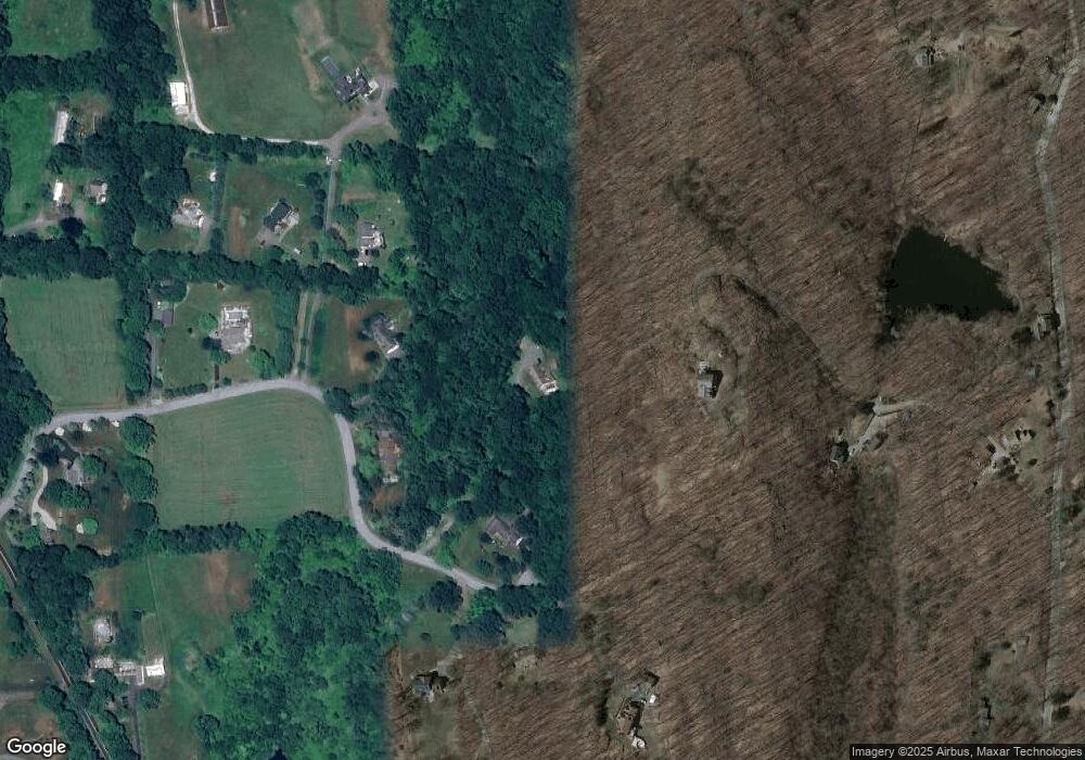
Map
Nearby Homes
Your Personal Tour Guide
Ask me questions while you tour the home.