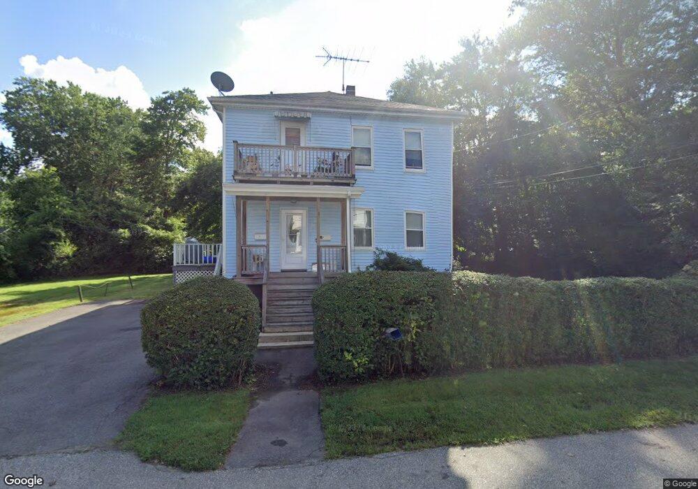
17 Douglas Rd Unit 19 Ashland, MA 01721
Estimated Value: $550,000 - $649,000
6
Beds
2
Baths
1,976
Sq Ft
$300/Sq Ft
Est. Value
About This Home
This home is located at 17 Douglas Rd Unit 19, Ashland, MA 01721 and is currently estimated at $593,658, approximately $300 per square foot. 17 Douglas Rd Unit 19 is a home located in Middlesex County with nearby schools including William Pittaway Elementary School, Henry E. Warren Elementary School, and David Mindess Elementary School.
Ownership History
Date
Name
Owned For
Owner Type
Purchase Details
Closed on
Oct 14, 2003
Sold by
Zonak John R and Zonak Louise F
Bought by
Zonak Deborah A and Zonak John R
Current Estimated Value
Home Financials for this Owner
Home Financials are based on the most recent Mortgage that was taken out on this home.
Original Mortgage
$100,000
Interest Rate
6.35%
Purchase Details
Closed on
Jul 13, 1988
Sold by
Zonak Louise F
Bought by
Zonak Joseph A
Create a Home Valuation Report for This Property
The Home Valuation Report is an in-depth analysis detailing your home's value as well as a comparison with similar homes in the area
Home Values in the Area
Average Home Value in this Area
Purchase History
| Date | Buyer | Sale Price | Title Company |
|---|---|---|---|
| Zonak Deborah A | -- | -- | |
| Zonak Joseph A | $80,000 | -- |
Source: Public Records
Mortgage History
| Date | Status | Borrower | Loan Amount |
|---|---|---|---|
| Open | Zonak Joseph A | $216,000 | |
| Closed | Zonak Joseph A | $80,000 | |
| Closed | Zonak Joseph A | $30,000 | |
| Closed | Zonak Deborah A | $100,000 |
Source: Public Records
Tax History
| Year | Tax Paid | Tax Assessment Tax Assessment Total Assessment is a certain percentage of the fair market value that is determined by local assessors to be the total taxable value of land and additions on the property. | Land | Improvement |
|---|---|---|---|---|
| 2025 | $6,510 | $509,800 | $220,400 | $289,400 |
| 2024 | $6,693 | $505,500 | $220,400 | $285,100 |
| 2023 | $6,231 | $452,500 | $209,900 | $242,600 |
| 2022 | $6,169 | $388,500 | $190,700 | $197,800 |
| 2021 | $5,646 | $354,400 | $190,700 | $163,700 |
| 2020 | $5,420 | $335,400 | $193,400 | $142,000 |
| 2019 | $5,208 | $319,900 | $193,400 | $126,500 |
| 2018 | $5,149 | $310,000 | $191,500 | $118,500 |
| 2017 | $4,836 | $289,600 | $187,800 | $101,800 |
| 2016 | $4,621 | $271,800 | $183,000 | $88,800 |
| 2015 | $4,347 | $251,300 | $170,900 | $80,400 |
| 2014 | $4,433 | $254,900 | $152,600 | $102,300 |
Source: Public Records
Map
Nearby Homes
- 15 Bates Rd
- 69 Gilbert St
- 20 Mulhall Dr
- 37 James Rd
- 73 Half Crown Cir
- 196 Algonquin Trail Unit 196
- 25 Eames St
- 92 Alexander St
- 2 Arrowhead Cir Unit 2
- 768 Waverley St
- 262 Captain Eames Cir
- 11 Harmony Ln
- 45 Daytona Ave
- 15 Seminole Ave
- 29 Gordon St Unit 107
- 102 Captain Eames Cir
- 54 Tri St
- 363 Eliot St
- 15 Bellmore Rd
- 11 Weld St Unit 33
- 18 Douglas Rd
- 21 Douglas Rd Unit 23
- 21 Douglas Rd
- 16 Douglas Rd
- 18 Greenhalge Rd
- 22 Douglas Rd
- 13 Douglas Rd Unit 13
- 12 Douglas Rd
- 12 Greenhalge Rd
- 12 Greenhalge Rd Unit a
- 12 Greenhalge Rd Unit 2
- 12 Greenhalge Rd Unit 12a
- 12 Greenhalge Rd Unit 1
- 24 Greenhalge Rd
- 24 Douglas Rd
- 27 Draper Rd
- 27 Douglas Rd
- 25 Douglas Rd
- 25 Douglas Rd Unit 25
- 21 Draper Rd
Your Personal Tour Guide
Ask me questions while you tour the home.