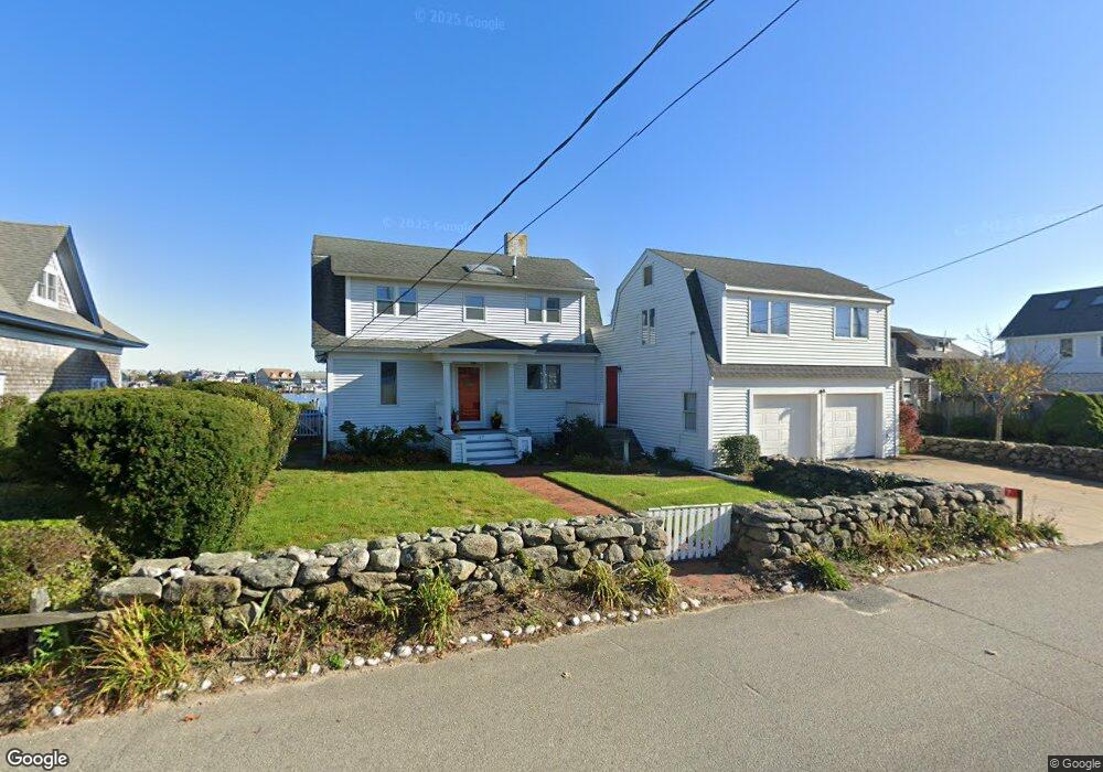
17 E Chop Dr Oak Bluffs, MA 02557
Oak Bluffs NeighborhoodEstimated Value: $2,189,000 - $4,141,000
4
Beds
2
Baths
2,578
Sq Ft
$1,269/Sq Ft
Est. Value
About This Home
This home is located at 17 E Chop Dr, Oak Bluffs, MA 02557 and is currently estimated at $3,270,536, approximately $1,268 per square foot. 17 E Chop Dr is a home with nearby schools including Oak Bluffs Elementary School, Martha's Vineyard Regional High School, and Vineyard Montessori School.
Ownership History
Date
Name
Owned For
Owner Type
Purchase Details
Closed on
Jan 26, 2023
Sold by
Loud Jean C
Bought by
Loud-Wild Ft
Current Estimated Value
Purchase Details
Closed on
Mar 2, 2016
Sold by
Loud Ft
Bought by
Curtis-Loud Jean
Purchase Details
Closed on
Sep 5, 2013
Sold by
Loud Jean C
Bought by
Loud Ft
Create a Home Valuation Report for This Property
The Home Valuation Report is an in-depth analysis detailing your home's value as well as a comparison with similar homes in the area
Home Values in the Area
Average Home Value in this Area
Purchase History
| Date | Buyer | Sale Price | Title Company |
|---|---|---|---|
| Loud-Wild Ft | -- | None Available | |
| Curtis-Loud Jean | -- | -- | |
| Loud Ft | -- | -- |
Source: Public Records
Mortgage History
| Date | Status | Borrower | Loan Amount |
|---|---|---|---|
| Previous Owner | Loud Ft | $105,000 | |
| Previous Owner | Loud Ft | $330,000 | |
| Previous Owner | Loud Ft | $400,000 |
Source: Public Records
Tax History
| Year | Tax Paid | Tax Assessment Tax Assessment Total Assessment is a certain percentage of the fair market value that is determined by local assessors to be the total taxable value of land and additions on the property. | Land | Improvement |
|---|---|---|---|---|
| 2025 | $21,092 | $4,176,700 | $3,139,000 | $1,037,700 |
| 2024 | $20,305 | $3,882,400 | $2,852,600 | $1,029,800 |
| 2023 | $19,619 | $3,715,800 | $2,771,800 | $944,000 |
| 2022 | $18,607 | $2,740,400 | $2,023,500 | $716,900 |
| 2021 | $17,270 | $2,343,300 | $1,897,400 | $445,900 |
| 2020 | $17,584 | $2,363,500 | $1,807,000 | $556,500 |
| 2019 | $17,490 | $2,274,400 | $1,727,300 | $547,100 |
| 2018 | $17,681 | $2,258,100 | $1,709,100 | $549,000 |
| 2017 | $17,706 | $2,172,500 | $1,679,100 | $493,400 |
| 2016 | $17,445 | $2,151,000 | $1,731,000 | $420,000 |
| 2015 | $16,891 | $2,122,000 | $1,731,000 | $391,000 |
| 2014 | $16,520 | $2,115,300 | $1,722,800 | $392,500 |
Source: Public Records
Map
Nearby Homes
- 10 Siloam Ave
- 35 New York Ave
- 22 Montgomery Square
- 2 Lincoln Ave
- 12 & 14 Maple Ave
- 23 Circuit Avenue Extension
- 17 John Wesley Ave
- 33 Ocean Ave
- 25 Hampson Ave
- 7 Highland Ave
- 37 Circuit Ave Unit 5
- 37 Circuit Ave Unit 4
- 56 Garvin St
- 24 Towanticut Ave Unit 188
- 112 Dukes County Ave Unit 209
- 112 Dukes County Ave
- 26 Winthrop Ave
- 181 Circuit Ave
- 150 E Chop Dr
- 6 Brewster Ave
Your Personal Tour Guide
Ask me questions while you tour the home.