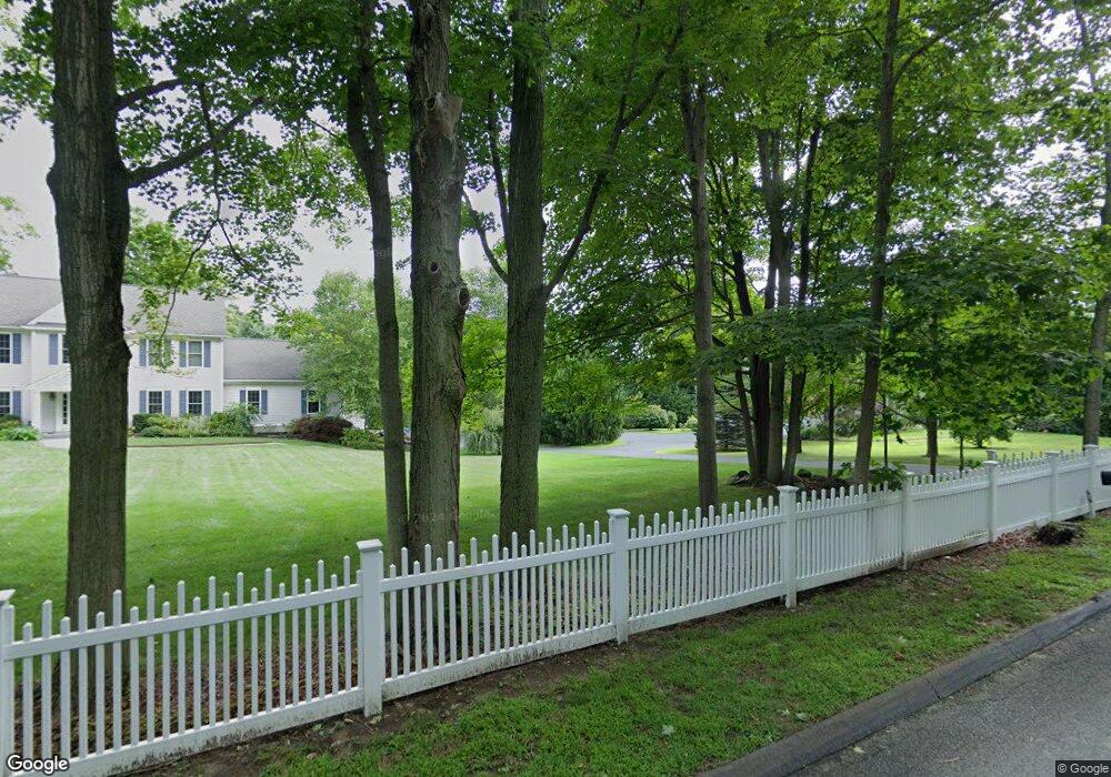
17 Kaiser Ln Madison, CT 06443
Madison AreaEstimated Value: $1,021,000 - $1,107,000
About This Home
This home is located at 17 Kaiser Ln, Madison, CT 06443 and is currently estimated at $1,046,922, approximately $334 per square foot. 17 Kaiser Ln is a home located in New Haven County with nearby schools including Walter C. Polson Middle School, Daniel Hand High School, and Our Lady of Mercy Preparatory Academy.
Ownership History
We collect this data history from publicly available records. To have your information removed, we recommend requesting removal directly through your county’s website.
Purchase Details
Home Values in the Area
Average Home Value in this Area
Purchase History
We collect this data history from publicly available records. To have your information removed, we recommend requesting removal directly through your county’s website.
| Date | Buyer | Sale Price | Title Company |
|---|---|---|---|
| $670,000 | -- |
Mortgage History
We collect this data history from publicly available records. To have your information removed, we recommend requesting removal directly through your county’s website.
| Date | Status | Borrower | Loan Amount |
|---|---|---|---|
| Open | $307,000 | ||
| Closed | $414,000 |
Tax History
We collect this data history from publicly available records. To have your information removed, we recommend requesting removal directly through your county’s website.
| Year | Tax Paid | Tax Assessment Tax Assessment Total Assessment is a certain percentage of the fair market value that is determined by local assessors to be the total taxable value of land and additions on the property. | Land | Improvement |
|---|---|---|---|---|
| 2025 | $13,319 | $593,800 | $188,700 | $405,100 |
| 2024 | $13,064 | $593,800 | $188,700 | $405,100 |
| 2023 | $13,151 | $438,800 | $158,700 | $280,100 |
| 2022 | $12,905 | $438,800 | $158,700 | $280,100 |
| 2021 | $12,659 | $438,800 | $158,700 | $280,100 |
| 2020 | $12,440 | $438,800 | $158,700 | $280,100 |
| 2019 | $12,440 | $438,800 | $158,700 | $280,100 |
| 2018 | $11,707 | $417,500 | $128,000 | $289,500 |
| 2017 | $11,398 | $417,500 | $128,000 | $289,500 |
| 2016 | $11,060 | $417,500 | $128,000 | $289,500 |
| 2015 | $10,755 | $417,500 | $128,000 | $289,500 |
| 2014 | $13,866 | $550,900 | $194,700 | $356,200 |
Map
- 42 Wildcat Rd
- 496 Green Hill Rd
- 9 Randi Dr
- 190 Wildcat Rd
- 0 Skytop Dr
- 462 Horse Pond Rd
- 94 Warpas Rd
- 8 Old Route 79
- 706 Green Hill Rd
- 17 Yankee Glen Rd Unit 17-D
- 20 Centre Village Dr Unit 20
- 81 Strawberry Hill Rd
- 21 Centre Village Dr
- 9 Centre Village Dr
- 72 Strawberry Hill Rd
- 92 Scotland Ave
- 170 Mungertown Rd
- 141 Duck Hole Rd
- 30 Meeting House Ln
- 12 W Sussex Place Unit 12
Ask me questions while you tour the home.