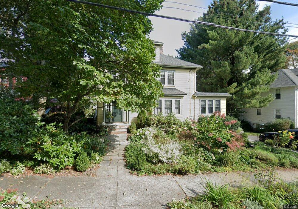
17 Leighton Rd Auburndale, MA 02466
Auburndale NeighborhoodEstimated Value: $1,311,000 - $1,586,000
About This Home
This home is located at 17 Leighton Rd, Auburndale, MA 02466 and is currently estimated at $1,459,395, approximately $664 per square foot. 17 Leighton Rd is a home located in Middlesex County with nearby schools including Williams Elementary School, Charles E Brown Middle School, and Newton South High School.
Ownership History
We collect this data history from publicly available records. To have your information removed, we recommend requesting removal directly through your county’s website.
Purchase Details
Home Financials for this Owner
Home Financials are based on the most recent Mortgage that was taken out on this home.Home Values in the Area
Average Home Value in this Area
Purchase History
We collect this data history from publicly available records. To have your information removed, we recommend requesting removal directly through your county’s website.
| Date | Buyer | Sale Price | Title Company |
|---|---|---|---|
| $324,000 | -- |
Mortgage History
We collect this data history from publicly available records. To have your information removed, we recommend requesting removal directly through your county’s website.
| Date | Status | Borrower | Loan Amount |
|---|---|---|---|
| Open | $227,000 | ||
| Closed | $200,000 | ||
| Closed | $200,000 | ||
| Closed | $200,000 |
Tax History
We collect this data history from publicly available records. To have your information removed, we recommend requesting removal directly through your county’s website.
| Year | Tax Paid | Tax Assessment Tax Assessment Total Assessment is a certain percentage of the fair market value that is determined by local assessors to be the total taxable value of land and additions on the property. | Land | Improvement |
|---|---|---|---|---|
| 2025 | $11,740 | $1,198,000 | $895,300 | $302,700 |
| 2024 | $11,352 | $1,163,100 | $869,200 | $293,900 |
| 2023 | $10,863 | $1,067,100 | $660,200 | $406,900 |
| 2022 | $10,395 | $988,100 | $611,300 | $376,800 |
| 2021 | $10,030 | $932,200 | $576,700 | $355,500 |
| 2020 | $9,732 | $932,200 | $576,700 | $355,500 |
| 2019 | $9,064 | $867,400 | $559,900 | $307,500 |
| 2018 | $8,754 | $809,100 | $507,400 | $301,700 |
| 2017 | $8,488 | $763,300 | $478,700 | $284,600 |
| 2016 | $8,118 | $713,400 | $447,400 | $266,000 |
| 2015 | $7,740 | $666,700 | $418,100 | $248,600 |
Map
- 372 Central St
- 305 Central St
- 379 Central St
- 126 Charles St (Aub)
- 9 Johnson Place Unit 9
- 39 Charles St Unit A
- 63 Charles St
- 19 Rockwood Terrace
- 0 Hawthorne Ave
- 2239 Commonwealth Ave Unit 2239
- 283 Melrose St
- 16 Ware Rd
- 194 Auburn St Unit 2
- 2031 Commonwealth Ave
- 349 Auburndale Ave
- 1935 Commonwealth Ave Unit 1935
- 123 Auburn St Unit 1
- 288 Auburndale Ave Unit B
- 20-22 Greenough St
- 1643 Washington St
- 11 Leighton Rd
- 338 Central St
- 330 Central St
- 1 Leighton Rd
- 10 Leighton Rd
- 348 Central St
- 9 Oakwood Rd
- 324 Central St
- 4 Leighton Rd
- 15 Williston Rd
- 329 Central St
- 37 Williston Rd
- 337 Central St
- 337 Central St Unit C
- 337 Central St Unit D
- 337 Central St Unit Right
- 337 Central St Unit Left
- 337 Central St Unit 1
- 337 Central St Unit 2
- 15 Oakwood Rd
Ask me questions while you tour the home.