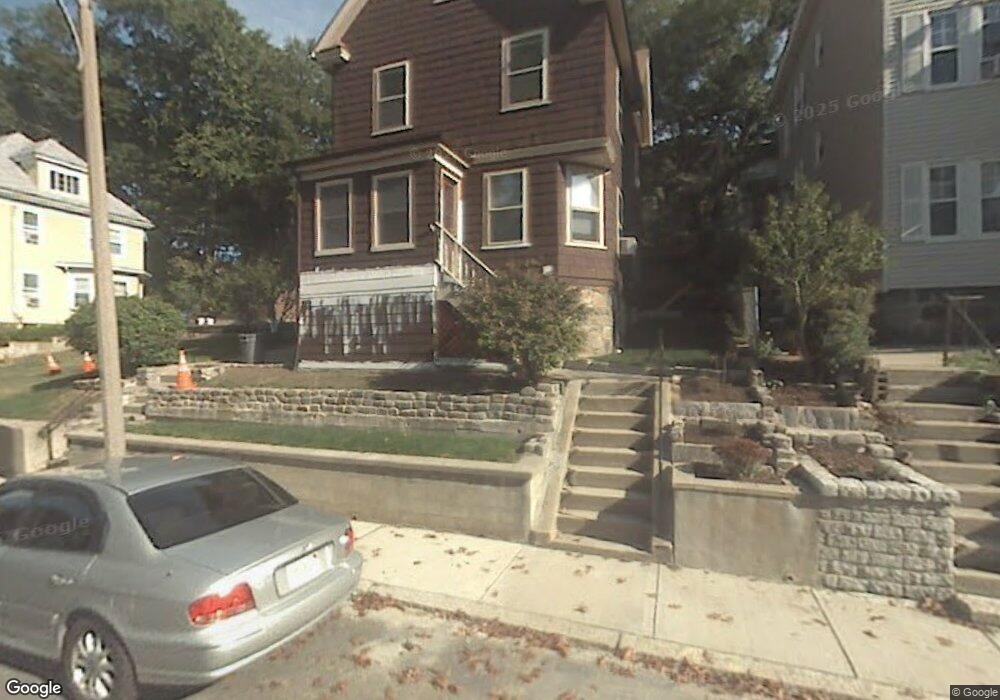
17 Sherwood St Roslindale, MA 02131
Roslindale NeighborhoodEstimated Value: $706,311 - $967,000
3
Beds
1
Bath
1,638
Sq Ft
$502/Sq Ft
Est. Value
About This Home
This home is located at 17 Sherwood St, Roslindale, MA 02131 and is currently estimated at $822,078, approximately $501 per square foot. 17 Sherwood St is a home located in Suffolk County with nearby schools including Brooke Charter School Roslindale, Sacred Heart STEM School, and St. Clare High School.
Ownership History
Date
Name
Owned For
Owner Type
Purchase Details
Closed on
Feb 20, 2015
Sold by
Carpenter Constance D
Bought by
Carpenter Richard J and Carpenter Constance D
Current Estimated Value
Create a Home Valuation Report for This Property
The Home Valuation Report is an in-depth analysis detailing your home's value as well as a comparison with similar homes in the area
Home Values in the Area
Average Home Value in this Area
Purchase History
| Date | Buyer | Sale Price | Title Company |
|---|---|---|---|
| Carpenter Richard J | -- | -- |
Source: Public Records
Tax History
| Year | Tax Paid | Tax Assessment Tax Assessment Total Assessment is a certain percentage of the fair market value that is determined by local assessors to be the total taxable value of land and additions on the property. | Land | Improvement |
|---|---|---|---|---|
| 2025 | $6,985 | $603,200 | $250,500 | $352,700 |
| 2024 | $6,357 | $583,200 | $234,400 | $348,800 |
| 2023 | $5,852 | $544,900 | $219,000 | $325,900 |
| 2022 | $5,490 | $504,600 | $202,800 | $301,800 |
| 2021 | $5,177 | $485,200 | $195,000 | $290,200 |
| 2020 | $5,049 | $478,100 | $188,900 | $289,200 |
| 2019 | $4,798 | $455,200 | $148,300 | $306,900 |
| 2018 | $4,543 | $433,500 | $148,300 | $285,200 |
| 2017 | $4,332 | $409,100 | $148,300 | $260,800 |
| 2016 | $4,128 | $375,300 | $148,300 | $227,000 |
| 2015 | $3,908 | $322,700 | $130,800 | $191,900 |
| 2014 | $3,977 | $316,100 | $130,800 | $185,300 |
Source: Public Records
Map
Nearby Homes
- 11 Sherwood St Unit 1
- 132 Sycamore St
- 23 Rowe St Unit 23 Rowe
- 134 Sycamore St
- 49-51 Brown Ave Unit 49
- 68 Rowe St Unit 4
- 68 Rowe St Unit 1
- 441 Hyde Park Ave Unit 7
- 16 Hilburn Place
- 3 Rosemere Ct Unit 1
- 167 Poplar St Unit 1
- 161 Florence St Unit 2
- 4 Rowe Ct
- 11 Hillview Ave
- 8 Hillview Ave
- 8 Kittredge St Unit 10
- 32 Jewett St
- 4164 Washington St Unit 6
- 11 Taft Hill Terrace Unit 4
- 27 Harrison St Unit C
- 21 Sherwood St
- 25 Johnswood Rd
- 11 Sherwood St Unit 3
- 11 Sherwood St Unit 2
- 11 Sherwood St Unit 1,11
- 14 Sherwood St Unit 14
- 23 Johnswood Rd
- 27 Johnswood Rd
- 20 Sherwood St
- 16 Sherwood St
- 9 Sherwood St
- 10 Sherwood St
- 31 Johnswood Rd
- 24 Sherwood St
- 27 Sherwood St
- 19 Johnswood Rd
- 20 Johnswood Rd
- 24 Johnswood Rd
- 28 Sherwood St
- 130 Cummins Hwy Unit 1
Your Personal Tour Guide
Ask me questions while you tour the home.