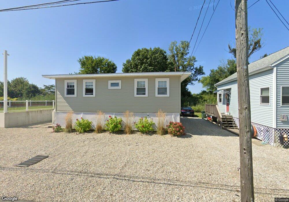
17 Striper Ave Westbrook, CT 06498
Estimated Value: $424,960 - $660,000
2
Beds
1
Bath
720
Sq Ft
$715/Sq Ft
Est. Value
About This Home
This home is located at 17 Striper Ave, Westbrook, CT 06498 and is currently estimated at $514,740, approximately $714 per square foot. 17 Striper Ave is a home located in Middlesex County with nearby schools including Daisy Ingraham School, Westbrook Middle School, and Westbrook High School.
Ownership History
Date
Name
Owned For
Owner Type
Purchase Details
Closed on
Feb 10, 2021
Sold by
Burk Joseph G
Bought by
Cold Harbor Seafood Inc
Current Estimated Value
Home Financials for this Owner
Home Financials are based on the most recent Mortgage that was taken out on this home.
Original Mortgage
$210,000
Outstanding Balance
$187,496
Interest Rate
2.6%
Mortgage Type
Purchase Money Mortgage
Estimated Equity
$327,244
Create a Home Valuation Report for This Property
The Home Valuation Report is an in-depth analysis detailing your home's value as well as a comparison with similar homes in the area
Home Values in the Area
Average Home Value in this Area
Purchase History
We collect this data history from publicly available records. To have your information removed, we recommend requesting removal directly through your county’s website.
| Date | Buyer | Sale Price | Title Company |
|---|---|---|---|
| Cold Harbor Seafood Inc | $250,000 | None Available |
Source: Public Records
Mortgage History
We collect this data history from publicly available records. To have your information removed, we recommend requesting removal directly through your county’s website.
| Date | Status | Borrower | Loan Amount |
|---|---|---|---|
| Open | Cold Harbor Seafood Inc | $210,000 |
Source: Public Records
Tax History
| Year | Tax Paid | Tax Assessment Tax Assessment Total Assessment is a certain percentage of the fair market value that is determined by local assessors to be the total taxable value of land and additions on the property. | Land | Improvement |
|---|---|---|---|---|
| 2025 | $4,470 | $198,660 | $161,030 | $37,630 |
| 2024 | $4,311 | $198,660 | $161,030 | $37,630 |
| 2023 | $4,235 | $198,660 | $161,030 | $37,630 |
| 2022 | $4,124 | $198,660 | $161,030 | $37,630 |
| 2021 | $3,166 | $126,630 | $84,490 | $42,140 |
| 2020 | $3,166 | $126,630 | $84,490 | $42,140 |
| 2019 | $3,124 | $126,630 | $84,490 | $42,140 |
| 2018 | $3,086 | $126,630 | $84,490 | $42,140 |
| 2017 | $3,086 | $126,630 | $84,490 | $42,140 |
| 2016 | $4,064 | $175,620 | $129,220 | $46,400 |
| 2015 | $3,953 | $175,620 | $129,220 | $46,400 |
| 2014 | $3,827 | $175,620 | $129,220 | $46,400 |
Source: Public Records
Map
Nearby Homes
- 449 Seaside Ave
- 6 Leeway Dr
- 0 Boston Post Rd Unit 24080344
- 520 Marina Way Landing Unit 520
- 273 Seaside Ave
- 123 Old Mail Trail
- 79 Wesley Ave
- 843 Old Clinton Rd
- 126 Magna Ln
- 23 Linden Ave N
- 18 Broadway N
- 44 Linden Ave N
- 48 Linden Ave N
- 41 Trolley Rd
- 7 Parker Ln
- 68 Groveway
- 1340 Old Clinton Rd Unit 12
- 29 Salt Island Rd
- 224 Salt Island Rd
- 11a/11b Pond Circle Rd
Your Personal Tour Guide
Ask me questions while you tour the home.