17 Washbrook Rd Newtown, CT 06470
Estimated Value: $738,000 - $850,033
About This Home
This home is located at 17 Washbrook Rd, Newtown, CT 06470 and is currently estimated at $791,508, approximately $297 per square foot. 17 Washbrook Rd is a home located in Fairfield County with nearby schools including Middle Gate Elementary School, Reed Intermediate School, and Newtown Middle School.
Ownership History
We collect this data history from publicly available records. To have your information removed, we recommend requesting removal directly through your county’s website.
Purchase Details
Purchase Details
Purchase Details
Home Values in the Area
Average Home Value in this Area
Purchase History
We collect this data history from publicly available records. To have your information removed, we recommend requesting removal directly through your county’s website.
| Date | Buyer | Sale Price | Title Company |
|---|---|---|---|
| $594,000 | -- | ||
| $594,000 | -- | ||
| $296,000 | -- | ||
| $296,000 | -- | ||
| $280,000 | -- | ||
| $280,000 | -- |
Mortgage History
We collect this data history from publicly available records. To have your information removed, we recommend requesting removal directly through your county’s website.
| Date | Status | Borrower | Loan Amount |
|---|---|---|---|
| Open | $280,000 | ||
| Closed | $346,100 |
Tax History
We collect this data history from publicly available records. To have your information removed, we recommend requesting removal directly through your county’s website.
| Year | Tax Paid | Tax Assessment Tax Assessment Total Assessment is a certain percentage of the fair market value that is determined by local assessors to be the total taxable value of land and additions on the property. | Land | Improvement |
|---|---|---|---|---|
| 2025 | $11,107 | $386,450 | $87,360 | $299,090 |
| 2024 | $10,423 | $386,450 | $87,360 | $299,090 |
| 2023 | $10,140 | $386,450 | $87,360 | $299,090 |
| 2022 | $9,564 | $275,860 | $74,900 | $200,960 |
| 2021 | $9,559 | $275,860 | $74,900 | $200,960 |
| 2020 | $9,589 | $275,860 | $74,900 | $200,960 |
| 2019 | $9,592 | $275,860 | $74,900 | $200,960 |
| 2018 | $9,445 | $275,860 | $74,900 | $200,960 |
| 2017 | $9,414 | $277,940 | $84,660 | $193,280 |
| 2016 | $9,339 | $277,940 | $84,660 | $193,280 |
| 2015 | $9,191 | $277,940 | $84,660 | $193,280 |
| 2014 | $9,258 | $277,940 | $84,660 | $193,280 |
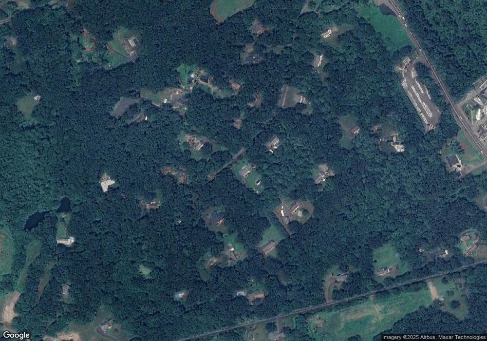
Map
- 4 Kay Ln
- 301 S Main St Unit 5
- 301 S Main St Unit 6
- 301 S Main St Unit LOT 1A
- 2 Abbey Ln
- 19 Botsford Hill Rd
- 127 Huntingtown Rd
- 2 Ridge Valley Rd
- 58 Botsford Hill Rd
- 21 High Bridge Rd
- 44 Orchard Hill Rd
- 46 Little Brook Ln
- 167 Toddy Hill Rd
- 293 Guinea Rd
- 279 Pastors Walk
- 556 Pepper St
- 128 Toddy Hill Rd
- 117 Brushy Hill Rd
- 263 & 271 S Main St
- 342 S Main St
- 19 Washbrook Rd
- 11 Washbrook Rd
- 15 Washbrook Rd
- 20 Washbrook Rd
- 18 Washbrook Rd
- 14 Washbrook Rd
- 22 Meadow Brook Rd
- 18 Meadow Brook Rd
- 9 Washbrook Rd
- 7 Washbrook Rd
- 24 Washbrook Rd
- 10 Washbrook Rd
- 20 Meadow Brook Rd
- 16 Washbrook Rd
- 5 Washbrook Rd
- 12 Washbrook Rd
- 14 Meadow Brook Rd
- 8 Washbrook Rd
- 24 Meadow Brook Rd
- 3 Washbrook Rd
Ask me questions while you tour the home.