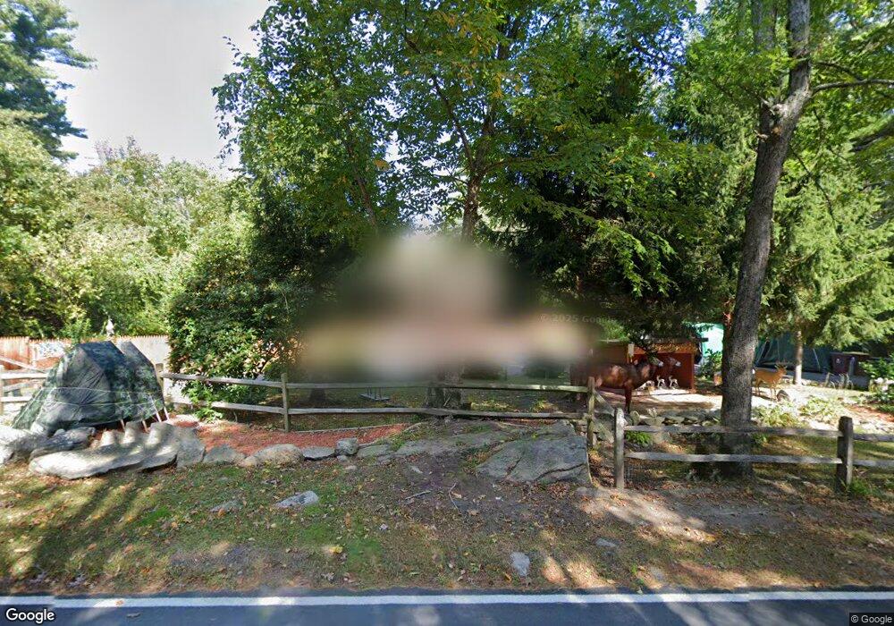
170 Gammons Rd Acushnet, MA 02743
Upper Acushnet NeighborhoodEstimated Value: $534,000 - $692,000
About This Home
This home is located at 170 Gammons Rd, Acushnet, MA 02743 and is currently estimated at $586,792, approximately $488 per square foot. 170 Gammons Rd is a home located in Bristol County with nearby schools including Acushnet Elementary School and Albert F Ford Middle School.
Ownership History
We collect this data history from publicly available records. To have your information removed, we recommend requesting removal directly through your county’s website.
Purchase Details
Purchase Details
Home Values in the Area
Average Home Value in this Area
Purchase History
We collect this data history from publicly available records. To have your information removed, we recommend requesting removal directly through your county’s website.
| Date | Buyer | Sale Price | Title Company |
|---|---|---|---|
| -- | -- | ||
| $165,000 | -- |
Mortgage History
We collect this data history from publicly available records. To have your information removed, we recommend requesting removal directly through your county’s website.
| Date | Status | Borrower | Loan Amount |
|---|---|---|---|
| Previous Owner | $70,966 | ||
| Previous Owner | $150,000 |
Tax History
We collect this data history from publicly available records. To have your information removed, we recommend requesting removal directly through your county’s website.
| Year | Tax Paid | Tax Assessment Tax Assessment Total Assessment is a certain percentage of the fair market value that is determined by local assessors to be the total taxable value of land and additions on the property. | Land | Improvement |
|---|---|---|---|---|
| 2025 | $45 | $417,600 | $153,000 | $264,600 |
| 2024 | $4,355 | $381,700 | $146,400 | $235,300 |
| 2023 | $4,369 | $364,100 | $133,000 | $231,100 |
| 2022 | $4,370 | $329,300 | $127,000 | $202,300 |
| 2021 | $2,718 | $295,700 | $127,000 | $168,700 |
| 2020 | $4,418 | $295,700 | $127,000 | $168,700 |
| 2019 | $4,047 | $285,400 | $127,000 | $158,400 |
| 2018 | $4,039 | $273,700 | $127,000 | $146,700 |
| 2017 | $3,828 | $265,100 | $127,000 | $138,100 |
| 2016 | $3,888 | $267,600 | $127,000 | $140,600 |
| 2015 | $3,609 | $252,700 | $127,000 | $125,700 |
Map
- 28 Gammons Rd
- 185 Mattapoisett Rd
- 8 Riverbend Ln
- 6 Michelle Ln
- 17 Alison Dr
- 4 Pocohontas Way
- 6 Evergreen Dr
- 11 Bayberry Ln
- 5 Acorn Ln
- 10 Bayberry Ln
- 15 Heritage Rd
- 150 Hathaway Rd
- 174 North St
- 220 Mattapoisett Rd
- 31 Hathaway Rd
- 5 Pershing Ave
- 40 Wamsutta Ave
- 921 Main St
- 0 Land Way Unit 73479153
- 26 Pershing Ave
- 171 Gammons Rd
- 165 Gammons Rd
- 168 Gammons Rd
- 77 Long Plain Rd
- 163 Gammons Rd
- 160 Gammons Rd
- 2 New Bedford Rd
- 159 Gammons Rd
- 84 Long Plain Rd
- 130 Gammons Rd
- 157 Gammons Rd
- 126 Gammons Rd
- 131 Gammons Rd
- 153 Gammons Rd
- 67 Long Plain Rd
- 122 Gammons Rd
- 65 Long Plain Rd
- 125 Gammons Rd
- 121 Gammons Rd
- 72 Long Plain Rd
Ask me questions while you tour the home.