170 Pearson Ln McCall, ID 83638
Estimated Value: $1,014,000 - $1,898,000
4
Beds
2
Baths
3,860
Sq Ft
$354/Sq Ft
Est. Value
About This Home
This home is located at 170 Pearson Ln, McCall, ID 83638 and is currently estimated at $1,367,777, approximately $354 per square foot. 170 Pearson Ln is a home located in Valley County with nearby schools including McCall-Donnelly High School, Mountain Life Education, and The North Fork School.
Ownership History
Date
Name
Owned For
Owner Type
Purchase Details
Closed on
Dec 17, 2019
Sold by
Neble Jeffrey Paul and Neble Karlene Marie
Bought by
Neble Jeffrey Paul and Mccall Karlene Marie
Current Estimated Value
Home Financials for this Owner
Home Financials are based on the most recent Mortgage that was taken out on this home.
Original Mortgage
$275,000
Interest Rate
3.6%
Mortgage Type
New Conventional
Create a Home Valuation Report for This Property
The Home Valuation Report is an in-depth analysis detailing your home's value as well as a comparison with similar homes in the area
Home Values in the Area
Average Home Value in this Area
Purchase History
| Date | Buyer | Sale Price | Title Company |
|---|---|---|---|
| Neble Jeffrey Paul | -- | First American Title Mccall |
Source: Public Records
Mortgage History
| Date | Status | Borrower | Loan Amount |
|---|---|---|---|
| Closed | Neble Jeffrey Paul | $275,000 |
Source: Public Records
Tax History
| Year | Tax Paid | Tax Assessment Tax Assessment Total Assessment is a certain percentage of the fair market value that is determined by local assessors to be the total taxable value of land and additions on the property. | Land | Improvement |
|---|---|---|---|---|
| 2025 | $1,023 | $1,021,489 | $247,230 | $774,259 |
| 2023 | $1,023 | $985,769 | $212,114 | $773,655 |
| 2022 | $1,004 | $829,990 | $225,535 | $604,455 |
| 2021 | $709 | $549,713 | $65,726 | $483,987 |
| 2020 | $1,762 | $460,300 | $64,913 | $395,387 |
| 2019 | $1,706 | $428,419 | $54,310 | $374,109 |
| 2018 | $1,786 | $415,872 | $58,587 | $357,285 |
| 2017 | $1,745 | $369,568 | $44,877 | $324,691 |
| 2016 | $1,835 | $372,112 | $38,344 | $333,768 |
| 2015 | $1,888 | $363,045 | $0 | $0 |
| 2013 | -- | $328,302 | $0 | $0 |
Source: Public Records
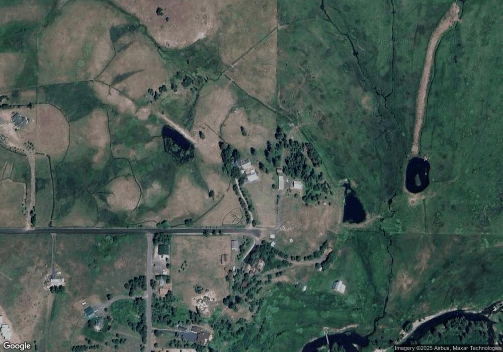
Map
Nearby Homes
- 14020 Comfort Rd
- 13982 Comfort Rd
- 14100 Pioneer Rd
- 13 Michelle Place
- 13 Michelle Place Unit 6
- TBD Easy St
- 14003 Easy St
- 13976 Ramos Ct Unit 1
- 13976 Ramos Ct
- 14055 Deerfield Rd
- 14055 Deerfield Rd Unit 6
- 14059 Mulberry
- 14066 Mulberry St
- 14128 Jefferson Rd
- 13958 Turner Rd
- 1510 S Samson Trail
- 1217 Elo Rd Unit 1
- 1217 Elo Rd
- 39 Sunbridge Dr
- 41 Sunbridge Dr
- 172 Pearson Ln
- 175 Pearson Ln
- 14034 Comfort Rd
- 14032 Comfort Rd
- 14026 Comfort Rd
- 14024 Comfort Rd
- 14029 Comfort Rd
- 145 Pearson Ln
- 140 Pearson Ln
- 14018 Comfort Rd
- 14018 Comfort Rd Unit 4
- 13942 Country Way
- 13942 Country Way Unit 72
- 100 Pearson Ln
- 14109 Carefree Ln
- 14014 Comfort Rd
- 14014 Comfort Rd Unit 5
- 14012 Comfort Rd
- 14028 Country Way
- 14028 Country Way Unit 45
Your Personal Tour Guide
Ask me questions while you tour the home.