Estimated Value: $378,000 - $498,839
Studio
2
Baths
2,570
Sq Ft
$171/Sq Ft
Est. Value
About This Home
This home is located at 170 Thorn Rd, Alma, GA 31510 and is currently estimated at $438,420, approximately $170 per square foot. 170 Thorn Rd is a home located in Bacon County with nearby schools including Bacon County Primary School, Bacon County Elementary School, and Bacon County Middle School.
Ownership History
Date
Name
Owned For
Owner Type
Purchase Details
Closed on
Sep 23, 2020
Sold by
Grooms Phillip G
Bought by
Burnette Howard Bruce and Burnette Jennie J
Current Estimated Value
Purchase Details
Closed on
Jan 19, 2007
Sold by
Southland Investment Co
Bought by
Grooms Phillip G
Purchase Details
Closed on
Apr 12, 2001
Sold by
Carter Wesley L and Carter Clara S
Bought by
Grooms Phillip G
Purchase Details
Closed on
Aug 20, 1986
Sold by
Lee Roy D and Rowland Ron G
Bought by
Grooms Phillip
Create a Home Valuation Report for This Property
The Home Valuation Report is an in-depth analysis detailing your home's value as well as a comparison with similar homes in the area
Home Values in the Area
Average Home Value in this Area
Purchase History
| Date | Buyer | Sale Price | Title Company |
|---|---|---|---|
| Burnette Howard Bruce | $51,184 | -- | |
| Burnette Jennie J | $16,024 | -- | |
| Grooms Phillip G | $6,400 | -- | |
| Grooms Phillip G | -- | -- | |
| Grooms Phillip | -- | -- |
Source: Public Records
Tax History
| Year | Tax Paid | Tax Assessment Tax Assessment Total Assessment is a certain percentage of the fair market value that is determined by local assessors to be the total taxable value of land and additions on the property. | Land | Improvement |
|---|---|---|---|---|
| 2025 | $4,212 | $178,764 | $94,960 | $83,804 |
| 2024 | $4,378 | $169,764 | $86,520 | $83,244 |
| 2023 | $3,052 | $162,524 | $86,520 | $76,004 |
| 2022 | $2,333 | $137,164 | $86,520 | $50,644 |
| 2021 | $2,243 | $134,884 | $86,520 | $48,364 |
| 2020 | $2,370 | $129,399 | $85,414 | $43,985 |
| 2019 | $2,342 | $129,399 | $85,414 | $43,985 |
| 2018 | $2,272 | $127,816 | $85,414 | $42,402 |
| 2017 | $3,672 | $127,816 | $85,414 | $42,402 |
| 2016 | $2,157 | $127,816 | $85,414 | $42,402 |
| 2015 | $2,139 | $127,266 | $85,414 | $41,852 |
| 2014 | $1,092 | $68,135 | $65,855 | $2,280 |
| 2013 | $1,092 | $38,006 | $35,726 | $2,280 |
Source: Public Records
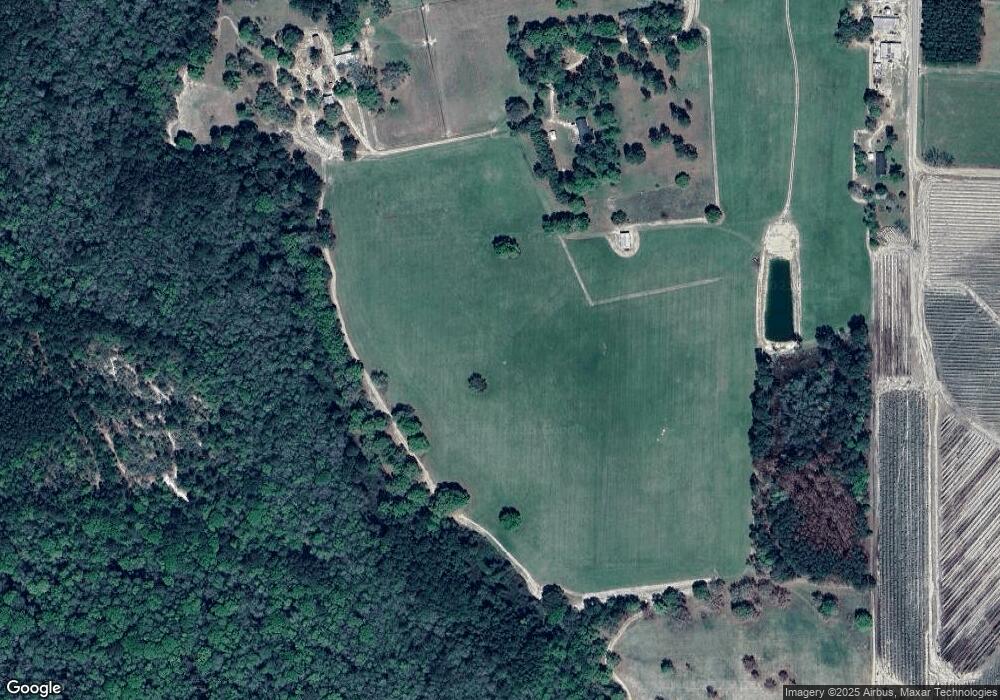
Map
Nearby Homes
- 000 S US Hwy 1
- 1348 U S 1
- 611 S Bead St
- 9TH E 417
- 403 S Ware St
- 117 Grace Loop Unit 1
- 122 Grace Loop Unit 1
- 108 Daughtry Rd
- 113 Brite Blue Dr
- 907 N Pierce St
- 198 Meadow Rd
- 166 Grace Loop Unit 1
- 606 W 7th St
- 401 Lee St
- 813 W 12th St
- 805 Smart Rd
- 701 Smallee St
- 512 Bennett Still Hwy
- 311 Douglas St
- 1109 W 4th Street Extension
- 517 Cartertown Rd
- 140 Juniper Rd
- 502 Cartertown Rd
- 421 Cartertown Rd
- 430 Cartertown Rd
- 399 Cartertown Rd
- 568 Cartertown Rd
- 589 Cartertown Rd
- 404 Cartertown Rd
- 134 Oak Ridge Ln
- TBD Cartertown Rd
- TBD Cartertown Rd
- Lot 8 Cartertown Rd
- Lot 5 Cartertown Rd
- Lot 6 Cartertown Rd
- Lot 4 Cartertown Rd
- Lot 7 Cartertown Rd
- 1440 Radio Station Rd
- 375 Cartertown Rd
- 122 Oak Ridge Ln
Your Personal Tour Guide
Ask me questions while you tour the home.