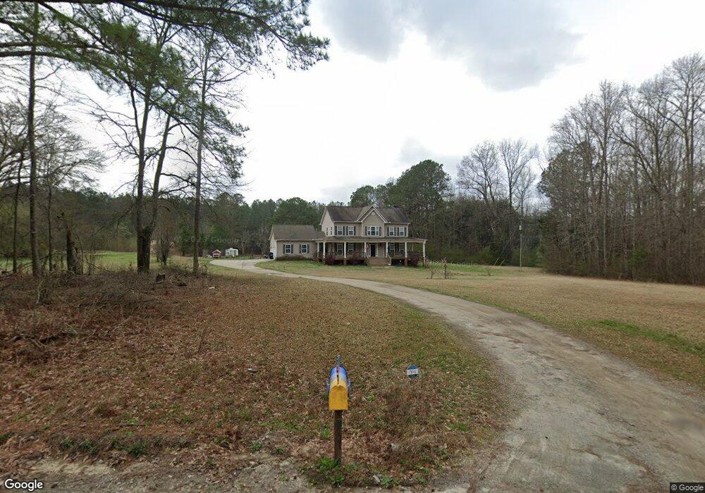
1700 George Brown Rd Franklin, GA 30217
Estimated Value: $393,000 - $491,000
Studio
3
Baths
2,716
Sq Ft
$157/Sq Ft
Est. Value
About This Home
This home is located at 1700 George Brown Rd, Franklin, GA 30217 and is currently estimated at $426,712, approximately $157 per square foot. 1700 George Brown Rd is a home located in Heard County with nearby schools including Heard County High School.
Ownership History
Date
Name
Owned For
Owner Type
Purchase Details
Closed on
Apr 2, 2007
Sold by
Not Provided
Bought by
Brown Benjamin E and Brown Nan
Current Estimated Value
Purchase Details
Closed on
Jul 17, 2006
Sold by
Not Provided
Bought by
Brown Benjamin E and Brown Nan
Purchase Details
Closed on
Mar 3, 2006
Sold by
Not Provided
Bought by
Brown Benjamin E and Brown Nan
Purchase Details
Closed on
Mar 1, 2006
Sold by
Not Provided
Bought by
Brown Benjamin E and Brown Nan
Purchase Details
Closed on
Feb 24, 2006
Sold by
Not Provided
Bought by
Brown Benjamin E and Brown Nan
Create a Home Valuation Report for This Property
The Home Valuation Report is an in-depth analysis detailing your home's value as well as a comparison with similar homes in the area
Purchase History
| Date | Buyer | Sale Price | Title Company |
|---|---|---|---|
| Brown Benjamin E | -- | -- | |
| Brown Benjamin E | -- | -- | |
| Brown Benjamin E | -- | -- | |
| Brown Benjamin E | -- | -- | |
| Brown Benjamin E | -- | -- |
Source: Public Records
Tax History
| Year | Tax Paid | Tax Assessment Tax Assessment Total Assessment is a certain percentage of the fair market value that is determined by local assessors to be the total taxable value of land and additions on the property. | Land | Improvement |
|---|---|---|---|---|
| 2025 | $3,460 | $183,112 | $20,754 | $162,358 |
| 2024 | $3,447 | $172,981 | $13,210 | $159,771 |
| 2023 | $3,151 | $152,963 | $11,008 | $141,955 |
| 2022 | $3,414 | $165,569 | $6,580 | $158,989 |
| 2021 | $2,840 | $131,265 | $6,580 | $124,685 |
| 2020 | $2,630 | $120,531 | $6,580 | $113,951 |
| 2019 | $2,631 | $120,531 | $6,580 | $113,951 |
| 2018 | $2,728 | $120,531 | $6,580 | $113,951 |
| 2017 | $2,503 | $112,856 | $6,188 | $106,668 |
| 2016 | $2,503 | $112,856 | $6,188 | $106,668 |
| 2015 | -- | $98,797 | $9,693 | $89,104 |
| 2014 | -- | $98,797 | $9,693 | $89,104 |
| 2013 | -- | $105,576 | $9,693 | $95,883 |
Source: Public Records
Map
Nearby Homes
- 0 Newman Rd Unit 10676618
- 0 Newman Rd Unit 26147173
- 323 Newman Rd
- 20229 Ga Highway 34
- 384 Enon Grove Rd
- 1646 Ferry Rd
- 38 Daniel Cir
- 63 Walton Ln
- 0 Bud Davis Rd Unit TRACT 16
- 0 Cherry Rd Unit 10721869
- 733 Cherry Rd
- 0 Haines Rd Unit 10679580
- 0 Ferry Rd Unit 7725641
- 0 Ferry Rd Unit 10699044
- 1194 J D Walton Rd
- 0 Alder Rd Unit 10674249
- 50 Webb Rd
- 4398 Georgia 34
- 198 Abner Rd
- 200 Abner Rd
- 1740 George Brown Rd
- 1701 George Brown Rd
- 1631 George Brown Rd
- 1594 George Brown Rd
- 1745 George Brown Rd
- 0 Herndon Rd
- 0 Herndon Rd Unit 7283747
- 132 Herndon Rd
- 81 Herndon Rd
- 1865 George Brown Rd
- 200 Herndon Rd
- 1919 George Brown Rd
- 263 Herndon Rd
- 1931 George Brown Rd
- 1955 George Brown Rd
- 1973 George Brown Rd
- 316 Herndon Rd
- 1991 George Brown Rd
- 2011 George Brown Rd
- 2035 George Brown Rd
Your Personal Tour Guide
Ask me questions while you tour the home.