17012 Barton Rd Fredericktown, OH 43019
Estimated Value: $252,000 - $384,000
About This Home
This home is located at 17012 Barton Rd, Fredericktown, OH 43019 and is currently estimated at $296,600, approximately $174 per square foot. 17012 Barton Rd is a home located in Knox County with nearby schools including Mount Vernon High School.
Ownership History
We collect this data history from publicly available records. To have your information removed, we recommend requesting removal directly through your county’s website.
Purchase Details
Home Financials for this Owner
Home Financials are based on the most recent Mortgage that was taken out on this home.Purchase Details
Home Financials for this Owner
Home Financials are based on the most recent Mortgage that was taken out on this home.Purchase Details
Purchase History
We collect this data history from publicly available records. To have your information removed, we recommend requesting removal directly through your county’s website.
| Date | Buyer | Sale Price | Title Company |
|---|---|---|---|
| -- | -- | ||
| $145,000 | None Available | ||
| -- | -- |
Mortgage History
We collect this data history from publicly available records. To have your information removed, we recommend requesting removal directly through your county’s website.
| Date | Status | Borrower | Loan Amount |
|---|---|---|---|
| Closed | $149,000 | ||
| Closed | $150,000 | ||
| Closed | $130,500 | ||
| Closed | $85,500 | ||
| Closed | $26,000 |
Tax History
We collect this data history from publicly available records. To have your information removed, we recommend requesting removal directly through your county’s website.
| Year | Tax Paid | Tax Assessment Tax Assessment Total Assessment is a certain percentage of the fair market value that is determined by local assessors to be the total taxable value of land and additions on the property. | Land | Improvement |
|---|---|---|---|---|
| 2025 | $2,444 | $58,500 | $18,760 | $39,740 |
| 2024 | $2,444 | $58,500 | $18,760 | $39,740 |
| 2023 | $2,495 | $58,500 | $18,760 | $39,740 |
| 2022 | $1,868 | $40,350 | $12,940 | $27,410 |
| 2021 | $1,868 | $40,350 | $12,940 | $27,410 |
| 2020 | $1,823 | $40,350 | $12,940 | $27,410 |
| 2019 | $2,316 | $47,660 | $14,360 | $33,300 |
| 2018 | $2,317 | $47,660 | $14,360 | $33,300 |
| 2017 | $2,280 | $47,660 | $14,360 | $33,300 |
| 2016 | $2,125 | $44,140 | $13,300 | $30,840 |
| 2015 | $2,133 | $44,140 | $13,300 | $30,840 |
| 2014 | $2,143 | $44,140 | $13,300 | $30,840 |
| 2013 | $2,100 | $41,980 | $10,790 | $31,190 |
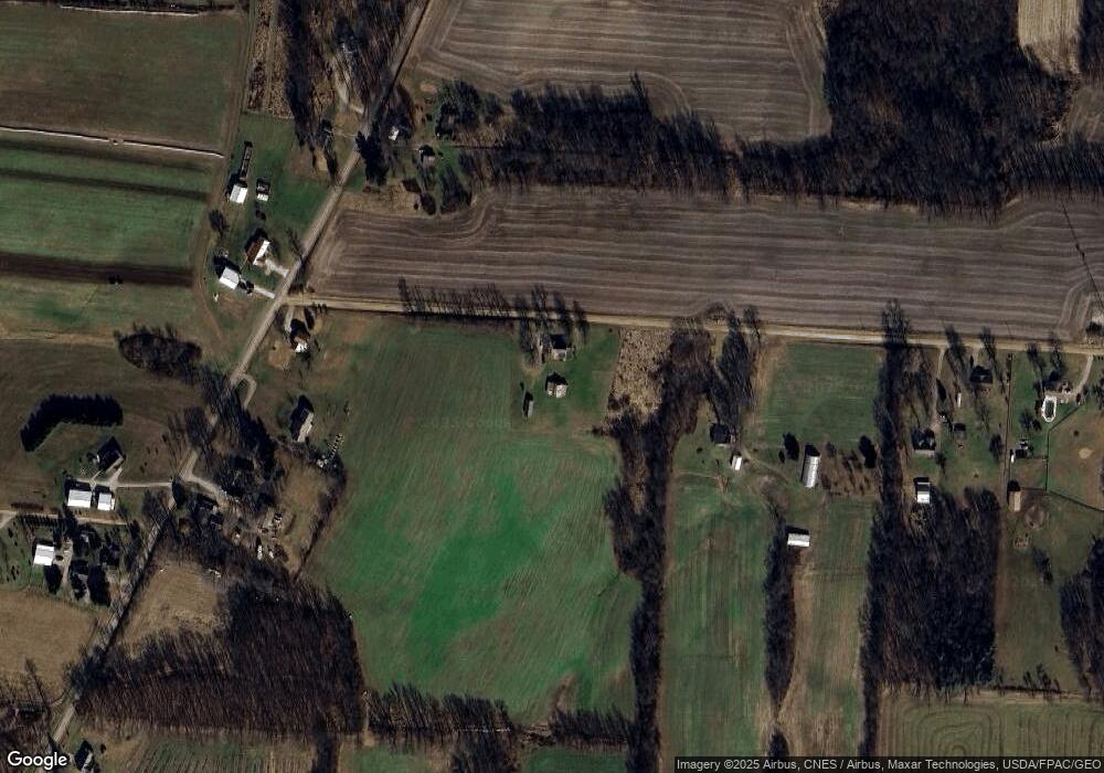
Map
- 15692 Carson Rd
- 17100 N Liberty Rd
- 1.17 Acres Wooster Rd
- 14281 N Liberty Rd
- 13999 Wooster Rd
- 17970 Scott Rd
- 17536 Carson Rd
- 15724 Sherri Rd
- 0 Crooked St
- 0 Divelbiss Rd
- 0 Crooked Street Land Split 2
- 13739 Old Mansfield Rd
- 12627 Upper Gilchrist Rd
- 13399 Old Mansfield Rd
- 0 Indian Hills Rd
- 13232 Mansfield Rd
- 13232 Old Mansfield Rd
- 13159 Old Mansfield Rd
- 15266 Gilchrist Rd
- 532 Wooster Rd
- 17100 Barton Rd
- 15990 N Liberty Rd
- 15956 North Liberty Rd
- 16075 N Liberty Rd
- 15991 N Liberty Rd
- 15918 North Liberty Rd
- 15918 N Liberty Rd
- 17210 Barton Rd
- 15900 North Liberty Rd
- 15900 North Liberty Rd
- 34 Acres N Liberty Rd
- 3.136 Acres N Liberty Rd
- 0 N Liberty Rd
- 16840 N Liberty Rd
- 17238 Barton Rd
- 17268 Barton Rd
- 15903 North Liberty Rd
- 15851 North Liberty Rd
- 16199 N Liberty Rd
- 15750 N Liberty Rd
Ask me questions while you tour the home.