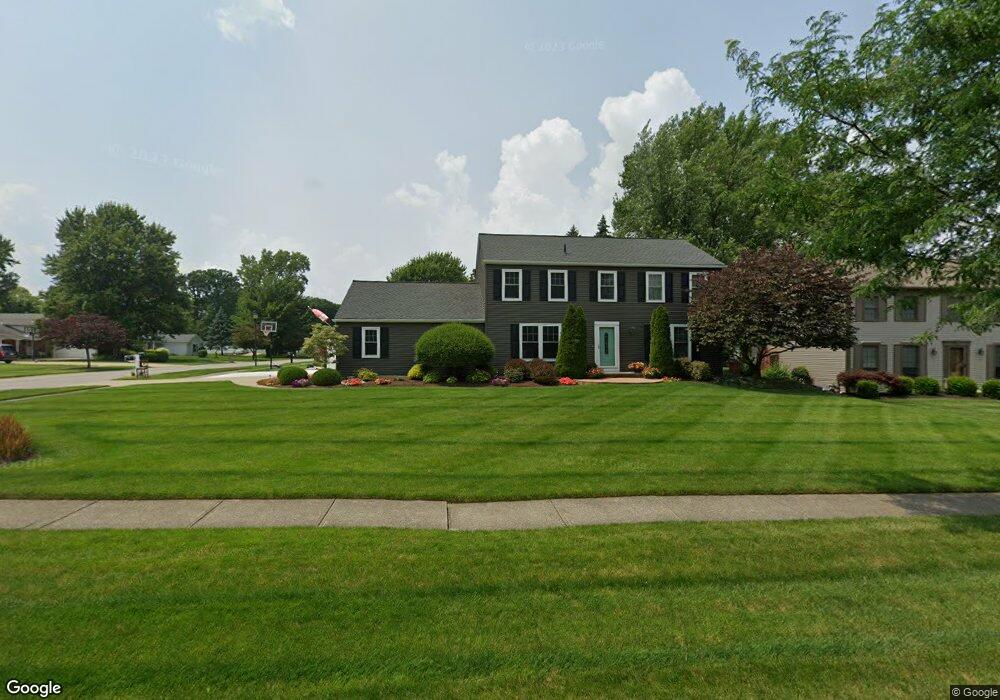
17015 Deer Path Dr Strongsville, OH 44136
Estimated Value: $347,000 - $413,000
About This Home
This home is located at 17015 Deer Path Dr, Strongsville, OH 44136 and is currently estimated at $381,065, approximately $170 per square foot. 17015 Deer Path Dr is a home located in Cuyahoga County with nearby schools including Strongsville High School and Sts Joseph & John Interparochial School.
Ownership History
We collect this data history from publicly available records. To have your information removed, we recommend requesting removal directly through your county’s website.
Purchase Details
Home Financials for this Owner
Home Financials are based on the most recent Mortgage that was taken out on this home.Purchase Details
Home Financials for this Owner
Home Financials are based on the most recent Mortgage that was taken out on this home.Purchase Details
Home Financials for this Owner
Home Financials are based on the most recent Mortgage that was taken out on this home.Purchase Details
Purchase Details
Purchase Details
Home Values in the Area
Average Home Value in this Area
Purchase History
We collect this data history from publicly available records. To have your information removed, we recommend requesting removal directly through your county’s website.
| Date | Buyer | Sale Price | Title Company |
|---|---|---|---|
| $206,000 | Chicago Title Insurance C | ||
| $206,000 | Chicago Title Insurance C | ||
| $194,000 | Midland Title Security Inc | ||
| $90,000 | -- | ||
| $59,500 | -- | ||
| -- | -- |
Mortgage History
We collect this data history from publicly available records. To have your information removed, we recommend requesting removal directly through your county’s website.
| Date | Status | Borrower | Loan Amount |
|---|---|---|---|
| Open | $164,800 | ||
| Previous Owner | $199,820 |
Tax History
We collect this data history from publicly available records. To have your information removed, we recommend requesting removal directly through your county’s website.
| Year | Tax Paid | Tax Assessment Tax Assessment Total Assessment is a certain percentage of the fair market value that is determined by local assessors to be the total taxable value of land and additions on the property. | Land | Improvement |
|---|---|---|---|---|
| 2025 | $5,065 | $107,870 | $22,715 | $85,155 |
| 2024 | $5,065 | $107,870 | $22,715 | $85,155 |
| 2023 | $5,232 | $83,550 | $19,250 | $64,300 |
| 2022 | $5,193 | $83,550 | $19,250 | $64,300 |
| 2021 | $5,153 | $83,550 | $19,250 | $64,300 |
| 2020 | $4,775 | $68,500 | $15,790 | $52,710 |
| 2019 | $4,559 | $192,500 | $45,100 | $147,400 |
| 2018 | $4,127 | $67,380 | $15,790 | $51,590 |
| 2017 | $4,193 | $63,210 | $12,740 | $50,470 |
| 2016 | $4,159 | $63,210 | $12,740 | $50,470 |
| 2015 | $4,218 | $63,210 | $12,740 | $50,470 |
| 2014 | $4,218 | $63,210 | $12,740 | $50,470 |
Map
- 16878 Lanier Ave
- 17761 Shurmer Rd
- 17101 Rabbit Run Dr
- VL Shurmer Rd
- 16385 Glendale Ave
- 15420 Colebright Dr
- 16221 Windsor Dr
- 16244 Delmont Ave
- 16264 Selby Cir
- 17944 Framingham Oval
- 18086 Winchester Ct
- 15381 Howe Rd
- 16543 Peppergrass Cir
- 16461 S Red Rock Dr
- 18399 Yorktown Oval
- 19694 Summer Place Dr
- 14943 Lenox Dr Unit 523
- 14784 Stone Creek Oval
- 14826 Stone Creek Oval
- 19510 Lunn Rd
- 17021 Deer Path Dr
- 17024 Raccoon Trail
- 17021 Raccoon Trail
- 17027 Deer Path Dr
- 17028 Raccoon Trail
- 17023 Raccoon Trail
- 17014 Deer Path Dr
- 17010 Deer Path Dr
- 17020 Deer Path Dr
- 17027 Raccoon Trail
- 17032 Raccoon Trail
- 17006 Deer Path Dr
- 17033 Deer Path Dr
- 17026 Deer Path Dr
- 17031 Raccoon Trail
- 17005 Deer Path Dr
- 17029 Partridge Dr
- 17002 Deer Path Dr
- 17035 Partridge Dr
- 17034 Deer Path Dr
Ask me questions while you tour the home.