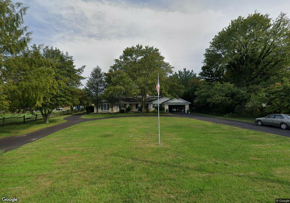
17019 W Willard Rd Poolesville, MD 20837
Estimated Value: $789,419 - $977,000
4
Beds
4
Baths
2,584
Sq Ft
$338/Sq Ft
Est. Value
About This Home
This home is located at 17019 W Willard Rd, Poolesville, MD 20837 and is currently estimated at $872,855, approximately $337 per square foot. 17019 W Willard Rd is a home located in Montgomery County with nearby schools including Poolesville Elementary School, John H. Poole Middle School, and Poolesville High School.
Ownership History
Date
Name
Owned For
Owner Type
Purchase Details
Closed on
Dec 3, 2008
Sold by
Williquette Keith A
Bought by
Williquette Keith Allan Tr
Current Estimated Value
Purchase Details
Closed on
Oct 29, 2008
Sold by
Williquette Keith A
Bought by
Williquette Keith Allan Tr
Purchase Details
Closed on
Jul 6, 2000
Sold by
Costanzo John A and Costanzo J D
Bought by
Williquette Keith A and Williquette A D
Create a Home Valuation Report for This Property
The Home Valuation Report is an in-depth analysis detailing your home's value as well as a comparison with similar homes in the area
Home Values in the Area
Average Home Value in this Area
Purchase History
| Date | Buyer | Sale Price | Title Company |
|---|---|---|---|
| Williquette Keith Allan Tr | -- | -- | |
| Williquette Keith Allan Tr | -- | -- | |
| Williquette Keith A | $284,500 | -- |
Source: Public Records
Tax History
| Year | Tax Paid | Tax Assessment Tax Assessment Total Assessment is a certain percentage of the fair market value that is determined by local assessors to be the total taxable value of land and additions on the property. | Land | Improvement |
|---|---|---|---|---|
| 2025 | $441 | $636,733 | -- | -- |
| 2024 | $441 | $553,500 | $219,700 | $333,800 |
| 2023 | $401 | $549,067 | $0 | $0 |
| 2022 | $399 | $544,633 | $0 | $0 |
| 2021 | $354 | $540,200 | $219,700 | $320,500 |
| 2020 | $354 | $539,533 | $0 | $0 |
| 2019 | $6,160 | $538,867 | $0 | $0 |
| 2018 | $6,168 | $538,200 | $219,700 | $318,500 |
| 2017 | $6,099 | $525,100 | $0 | $0 |
| 2016 | $5,591 | $512,000 | $0 | $0 |
| 2015 | $5,591 | $498,900 | $0 | $0 |
| 2014 | $5,591 | $498,900 | $0 | $0 |
Source: Public Records
Map
Nearby Homes
- 19929 Bodmer Ave
- 17116 Chiswell Rd
- 17413 Hoskinson Rd
- 19728 Wootton Ave
- 19110 Tatie Way
- 17403 Fyffe Rd
- 17100 Evans Way
- 19505 Fisher Ave Unit (LOT 1)
- 19507 Fisher Ave Unit (LOT 3)
- 19509 Fisher Ave Unit (LOT 2)
- 17900 Hickman St
- 19716 Selby Ave
- 17004 Spates Hill Rd
- 17108 Wild Turkey Way
- 0 Wild Turkey Way
- 21331 Big Woods Rd
- 17112 Wild Turkey Way
- 21142 Westerly Rd
- 19158 Dowden Cir
- 0 Beallsville Rd Unit MDMC2136882
- 17015 W Willard Rd
- 19884 Bodmer Ave
- 19984 Bodmer Ave
- 19980 Bodmer Ave
- 19880 Bodmer Ave
- 19876 Bodmer Ave
- 19976 Bodmer Ave
- 17086 Oxley Farm Rd Unit M020
- 17086 Oxley Farm Rd
- 17090 Oxley Farm Rd
- 17084 Oxley Farm Rd
- 17094 Oxley Farm Rd
- 19953 Bodmer Ave
- 17080 Oxley Farm Rd
- 17096 Oxley Farm Rd
- 17093 Oxley Farm Rd Unit Q020
- 17093 Oxley Farm Rd
- 16915 W Willard Rd
- 19936 Bodmer Ave
- 17076 Oxley Farm Rd
Your Personal Tour Guide
Ask me questions while you tour the home.