170206 Experiment Farm Rd Mitchell, NE 69357
Estimated Value: $228,813 - $339,000
3
Beds
3
Baths
1,450
Sq Ft
$200/Sq Ft
Est. Value
About This Home
This home is located at 170206 Experiment Farm Rd, Mitchell, NE 69357 and is currently estimated at $289,453, approximately $199 per square foot. 170206 Experiment Farm Rd is a home located in Scotts Bluff County with nearby schools including Mitchell Elementary School and Mitchell Secondary School.
Ownership History
Date
Name
Owned For
Owner Type
Purchase Details
Closed on
Apr 7, 2005
Sold by
Vanpelt Bradley G and Van Pelt Kenna J
Bought by
Tophoj Margaret A
Current Estimated Value
Home Financials for this Owner
Home Financials are based on the most recent Mortgage that was taken out on this home.
Original Mortgage
$105,000
Outstanding Balance
$53,370
Interest Rate
5.75%
Mortgage Type
New Conventional
Estimated Equity
$236,083
Create a Home Valuation Report for This Property
The Home Valuation Report is an in-depth analysis detailing your home's value as well as a comparison with similar homes in the area
Purchase History
We collect this data history from publicly available records. To have your information removed, we recommend requesting removal directly through your county’s website.
| Date | Buyer | Sale Price | Title Company |
|---|---|---|---|
| Tophoj Margaret A | $160,000 | -- |
Source: Public Records
Mortgage History
We collect this data history from publicly available records. To have your information removed, we recommend requesting removal directly through your county’s website.
| Date | Status | Borrower | Loan Amount |
|---|---|---|---|
| Open | Tophoj Margaret A | $105,000 |
Source: Public Records
Tax History
| Year | Tax Paid | Tax Assessment Tax Assessment Total Assessment is a certain percentage of the fair market value that is determined by local assessors to be the total taxable value of land and additions on the property. | Land | Improvement |
|---|---|---|---|---|
| 2025 | $1,978 | $201,365 | $23,560 | $177,805 |
| 2024 | $1,908 | $188,195 | $23,560 | $164,635 |
| 2023 | $2,356 | $152,878 | $15,225 | $137,653 |
| 2022 | $2,356 | $152,878 | $15,225 | $137,653 |
| 2021 | $2,110 | $134,593 | $15,225 | $119,368 |
| 2020 | $2,003 | $125,465 | $15,225 | $110,240 |
| 2019 | $1,980 | $124,364 | $14,030 | $110,334 |
| 2018 | $1,930 | $119,110 | $14,030 | $105,080 |
| 2017 | $1,854 | $113,162 | $14,030 | $99,132 |
| 2016 | $1,809 | $110,275 | $14,030 | $96,245 |
| 2015 | $1,696 | $107,365 | $13,923 | $93,442 |
| 2014 | $1,582 | $98,788 | $13,841 | $84,947 |
| 2012 | -- | $96,276 | $13,803 | $82,473 |
Source: Public Records
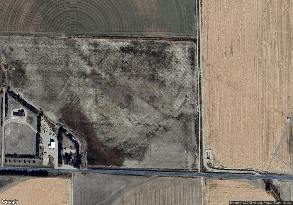
Map
Nearby Homes
- 60043 Mccain Rd
- 50160 Hilyard Dr
- 150265 Cr F
- CR K Cr 31
- 1806 13th Ave
- 1421 Broadway St
- 1057 Center Ave
- 2009 Barthuly Dr
- 2033 Barthuly Dr
- 1450 17th Ave
- 1803 Broadway St
- TBD Highway 29
- 1712 22nd Ave
- 40341 Highway 71
- 60208 Highway 71
- 90208 County Road 19
- Legacy Feeders Unit LLC
- 180436 River Rd
- 4501 Cottonwood Ave
- 0 County Road A
- 170204 Experiment Farm Rd
- 160928 Experiment Farm Rd
- 170027 Experiment Farm Rd
- 160813 Experiment Farm Rd
- 40652 County Road 17
- 40587 County Road 17
- 170670 Experiment Farm Rd
- 40465 County Road 17
- 50507 County Road 17
- 50542 County Road 17
- 40384 County Road 17
- 40384 Cr 17
- 50436 Sunflower Oil
- 50029 Sunflower Oil
- ... Sunflower Oil Rd
- .... Sunflower Oil Rd
- TBD Sunflower Oil Rd
- 180157 Experiment Farm Rd
- 40575 Sunflower Oil
- 160281 Experiment Farm Rd
Your Personal Tour Guide
Ask me questions while you tour the home.