Estimated Value: $150,000 - $221,000
3
Beds
2
Baths
1,267
Sq Ft
$150/Sq Ft
Est. Value
About This Home
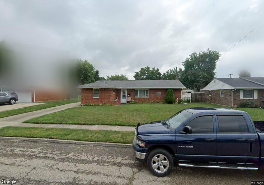
This home is located at 1703 Ottawa Dr, Xenia, OH 45385 and is currently estimated at $189,519, approximately $149 per square foot. 1703 Ottawa Dr is a home located in Greene County with nearby schools including Xenia High School, Summit Academy Community School for Alternative Learners - Xenia, and Legacy Christian Academy.
Ownership History
Date
Name
Owned For
Owner Type
Purchase Details
Closed on
Jul 31, 2007
Sold by
Wilson David C
Bought by
Simmons Gregg W and Kettering Karen L
Current Estimated Value
Home Financials for this Owner
Home Financials are based on the most recent Mortgage that was taken out on this home.
Original Mortgage
$65,700
Outstanding Balance
$40,584
Interest Rate
6.73%
Mortgage Type
Unknown
Estimated Equity
$148,935
Create a Home Valuation Report for This Property
The Home Valuation Report is an in-depth analysis detailing your home's value as well as a comparison with similar homes in the area
Home Values in the Area
Average Home Value in this Area
Purchase History
| Date | Buyer | Sale Price | Title Company |
|---|---|---|---|
| Simmons Gregg W | $73,000 | Attorney |
Source: Public Records
Mortgage History
| Date | Status | Borrower | Loan Amount |
|---|---|---|---|
| Open | Simmons Gregg W | $65,700 |
Source: Public Records
Tax History
| Year | Tax Paid | Tax Assessment Tax Assessment Total Assessment is a certain percentage of the fair market value that is determined by local assessors to be the total taxable value of land and additions on the property. | Land | Improvement |
|---|---|---|---|---|
| 2025 | $1,768 | $51,690 | $11,810 | $39,880 |
| 2024 | $2,212 | $51,690 | $11,810 | $39,880 |
| 2023 | $2,212 | $51,690 | $11,810 | $39,880 |
| 2022 | $1,855 | $36,980 | $6,940 | $30,040 |
| 2021 | $1,880 | $36,980 | $6,940 | $30,040 |
| 2020 | $1,801 | $36,980 | $6,940 | $30,040 |
| 2019 | $1,539 | $29,750 | $6,710 | $23,040 |
| 2018 | $1,546 | $29,750 | $6,710 | $23,040 |
| 2017 | $1,501 | $29,750 | $6,710 | $23,040 |
| 2016 | $1,528 | $28,870 | $6,710 | $22,160 |
| 2015 | $1,533 | $28,870 | $6,710 | $22,160 |
| 2014 | $1,468 | $28,870 | $6,710 | $22,160 |
Source: Public Records
Map
Nearby Homes
- 1731 Navajo Dr
- 1715 Sioux Dr
- 1772 Pueblo Dr
- 1540 Crockett Ct
- 1407 Navajo Dr
- 1861 Nebraska Dr
- 2015 Pennsylvania Dr
- 1577 W 2nd St
- 2096 Alabama Dr
- 1182 Bellbrook Ave
- 1955 Roxbury Dr
- 779 Buckskin Trail
- 624 Georgia Dr
- 1408 W 2nd St
- 440 Georgia Dr
- 1529 Bowman Dr
- 2432 Harmony Dr
- 2352 Pembury Dr
- 1330 Kylemore Dr
- 190 Cato Dr
Your Personal Tour Guide
Ask me questions while you tour the home.