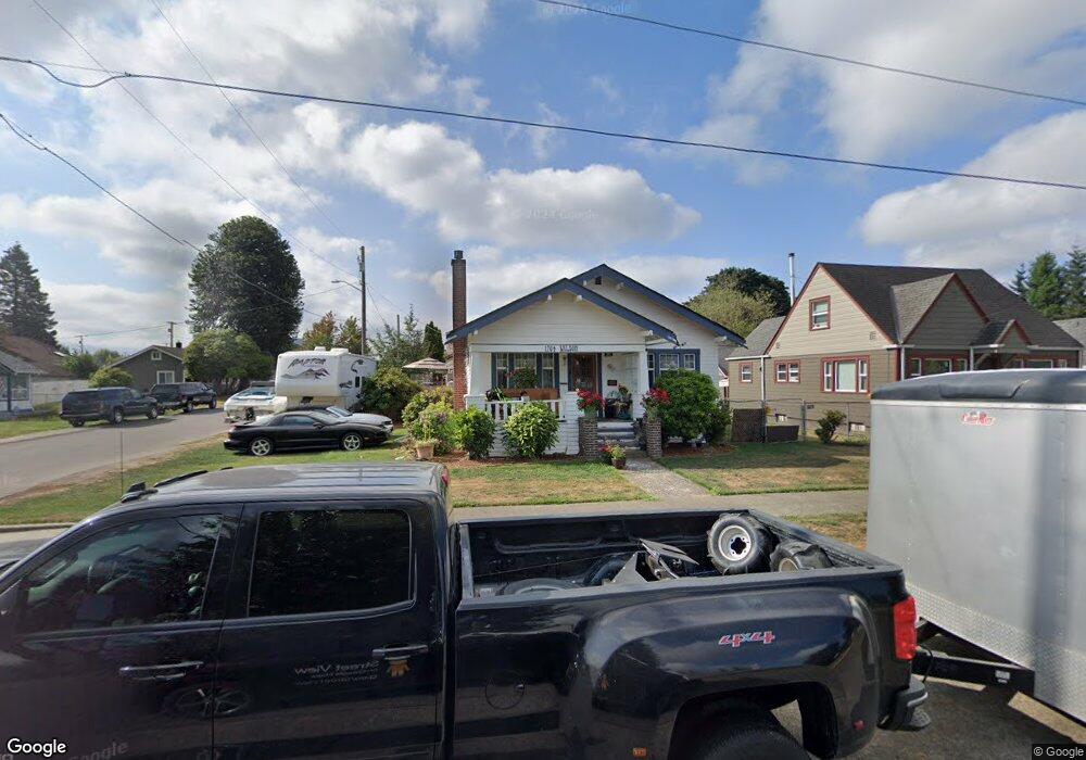
1704 Wilson Ave Enumclaw, WA 98022
Estimated Value: $479,610 - $522,000
3
Beds
1
Bath
1,270
Sq Ft
$398/Sq Ft
Est. Value
About This Home
This home is located at 1704 Wilson Ave, Enumclaw, WA 98022 and is currently estimated at $505,153, approximately $397 per square foot. 1704 Wilson Ave is a home located in King County with nearby schools including Byron Kibler Elementary School, Enumclaw Middle School, and Enumclaw Senior High School.
Ownership History
Date
Name
Owned For
Owner Type
Purchase Details
Closed on
May 17, 1994
Sold by
Gates Milton Lowell
Bought by
Leonard Karen R
Current Estimated Value
Purchase Details
Closed on
Mar 10, 1994
Sold by
Olson Timothy E
Bought by
Olson Timothy E and Olson Teresa A
Home Financials for this Owner
Home Financials are based on the most recent Mortgage that was taken out on this home.
Original Mortgage
$53,500
Interest Rate
6.48%
Purchase Details
Closed on
Dec 28, 1989
Sold by
Olson Leo K and Olson Lillian T
Bought by
Olson Timothy E
Create a Home Valuation Report for This Property
The Home Valuation Report is an in-depth analysis detailing your home's value as well as a comparison with similar homes in the area
Home Values in the Area
Average Home Value in this Area
Purchase History
| Date | Buyer | Sale Price | Title Company |
|---|---|---|---|
| Leonard Karen R | -- | First American Title Ins Co | |
| Olson Timothy E | -- | Chicago Title Insurance Co | |
| Olson Timothy E | -- | Commonwealth Land Title Ins |
Source: Public Records
Mortgage History
| Date | Status | Borrower | Loan Amount |
|---|---|---|---|
| Previous Owner | Olson Timothy E | $53,500 |
Source: Public Records
Tax History
| Year | Tax Paid | Tax Assessment Tax Assessment Total Assessment is a certain percentage of the fair market value that is determined by local assessors to be the total taxable value of land and additions on the property. | Land | Improvement |
|---|---|---|---|---|
| 2024 | $4,254 | $443,000 | $178,000 | $265,000 |
| 2023 | $3,948 | $380,000 | $153,000 | $227,000 |
| 2022 | $3,534 | $434,000 | $175,000 | $259,000 |
| 2021 | $3,163 | $352,000 | $151,000 | $201,000 |
| 2020 | $2,886 | $287,000 | $102,000 | $185,000 |
| 2018 | $2,722 | $260,000 | $94,000 | $166,000 |
| 2017 | $2,412 | $222,000 | $86,000 | $136,000 |
| 2016 | $2,305 | $203,000 | $79,000 | $124,000 |
| 2015 | -- | $191,000 | $75,000 | $116,000 |
| 2014 | -- | $192,000 | $81,000 | $111,000 |
| 2013 | -- | $148,000 | $65,000 | $83,000 |
Source: Public Records
Map
Nearby Homes
- 1966 Wilson Ave
- 1975 Wilson Ave
- 1705 Marshall Ave
- 1355 Mchugh Ave
- 0 xx 266th Ave SE
- 42801 264th Ave SE
- 1722 Harding St
- 27008 SE & 27012 432nd St
- 1107 Griffin Ave
- 111 Chinook Ave
- 1318 Lafromboise St
- 1867 Clovercrest St
- 2707 Initial Place
- 431 Rainier Ave
- 2881 Initial Ave
- 42102 264th Ave SE
- 2054 Roosevelt Ave
- 1909 Highpoint St
- 806 Pine Dr
- 823 Cottonwood Dr
- 1714 Wilson Ave
- 1724 Wilson Ave
- 2935 Frederickson St
- 1634 Wilson Ave
- 2521 Fredrickson St
- 1705 Kibler Ave
- 2921 Fredrickson St
- 1734 Wilson Ave
- 1715 Kibler Ave
- 1705 Wilson Ave
- 1804 Wilson Ave
- 1637 Kibler Ave
- 1719 Wilson Ave
- 1635 Wilson Ave
- 1731 Wilson Ave
- 2920 Porter St
- 1745 Kibler Ave
- 3015 Fredrickson St
- 3015 Frederickson St
- 2940 Porter St
Your Personal Tour Guide
Ask me questions while you tour the home.