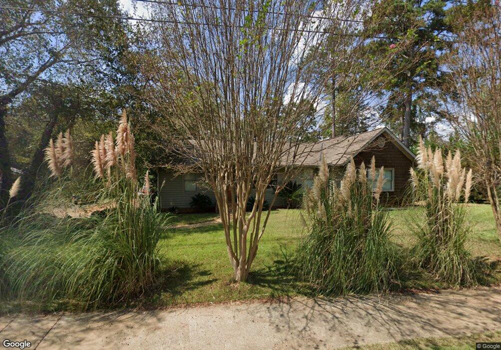
1705 New Franklin Rd Lagrange, GA 30240
Estimated Value: $279,000 - $356,000
3
Beds
2
Baths
1,692
Sq Ft
$185/Sq Ft
Est. Value
About This Home
This home is located at 1705 New Franklin Rd, Lagrange, GA 30240 and is currently estimated at $313,147, approximately $185 per square foot. 1705 New Franklin Rd is a home located in Troup County with nearby schools including Franklin Forest Elementary School, Hillcrest Elementary School, and Hollis Hand Elementary School.
Ownership History
Date
Name
Owned For
Owner Type
Purchase Details
Closed on
May 24, 1996
Sold by
Deborah L Howard
Bought by
Hutchins Jonathan Wayne
Current Estimated Value
Purchase Details
Closed on
Jul 1, 1993
Sold by
Dorothy S Howard
Bought by
Deborah L Howard
Purchase Details
Closed on
Sep 30, 1986
Sold by
Ruth Edward and Ruth Dukes
Bought by
Dorothy S Howard
Purchase Details
Closed on
Aug 21, 1979
Sold by
Charlie W Waugh Jr Etal
Bought by
Ruth Edward and Ruth Dukes
Purchase Details
Closed on
Jan 1, 1969
Bought by
Charlie W Waugh Jr Etal
Purchase Details
Closed on
Jan 1, 1950
Create a Home Valuation Report for This Property
The Home Valuation Report is an in-depth analysis detailing your home's value as well as a comparison with similar homes in the area
Purchase History
We collect this data history from publicly available records. To have your information removed, we recommend requesting removal directly through your county’s website.
| Date | Buyer | Sale Price | Title Company |
|---|---|---|---|
| Hutchins Jonathan Wayne | $50,000 | -- | |
| Deborah L Howard | -- | -- | |
| Dorothy S Howard | $44,000 | -- | |
| Ruth Edward | $22,000 | -- | |
| Charlie W Waugh Jr Etal | -- | -- | |
| -- | -- | -- |
Source: Public Records
Tax History
| Year | Tax Paid | Tax Assessment Tax Assessment Total Assessment is a certain percentage of the fair market value that is determined by local assessors to be the total taxable value of land and additions on the property. | Land | Improvement |
|---|---|---|---|---|
| 2025 | $2,932 | $128,416 | $22,680 | $105,736 |
| 2024 | $1,996 | $75,160 | $22,680 | $52,480 |
| 2023 | $1,835 | $69,280 | $22,680 | $46,600 |
| 2022 | $1,789 | $66,080 | $22,680 | $43,400 |
| 2021 | $1,596 | $54,920 | $19,320 | $35,600 |
| 2020 | $1,596 | $54,920 | $19,320 | $35,600 |
| 2019 | $1,582 | $54,440 | $19,320 | $35,120 |
| 2018 | $1,391 | $48,120 | $19,320 | $28,800 |
| 2017 | $1,396 | $48,272 | $19,320 | $28,952 |
| 2016 | $1,369 | $47,391 | $19,340 | $28,051 |
| 2015 | $1,372 | $47,391 | $19,340 | $28,051 |
| 2014 | $1,330 | $45,915 | $19,340 | $26,575 |
| 2013 | -- | $47,523 | $19,340 | $28,183 |
Source: Public Records
Map
Nearby Homes
- 91 Richmond Dr
- 114 Red Oak Trail
- 209 River Oaks Dr
- 205 River Oaks Dr
- 104 Hidden Branches Ln
- 129 Lismore Dr
- 103 Windridge
- 1351 New Franklin Rd
- 107 Windridge
- 109 Windridge
- 103 Powers Ct
- 127 Ashling Dr
- 117 Woodchase
- 203 View Pointe Ln
- 406 Ashford Cir
- 103 Woodchase
- 405 Canterbury Dr
- 101 Ridgeview Dr
- 501 Ashford Cir
- 101 Sheffield Dr
- 1719 New Franklin Rd
- 250 Sherwood Dr
- 1651 New Franklin Rd
- 1629 New Franklin Rd
- 1609 New Franklin Rd
- 301 Sherwood Dr
- 1720 New Franklin Rd
- 91 Richmond Dr Unit 28
- 300 Sherwood Dr
- 89 Richmond Dr
- 93 Richmond Dr
- 303 Sherwood Dr
- 208 Junewood Dr
- 1764 New Franklin Rd
- 0 Junewood Dr Unit 7614630
- 0 Junewood Dr Unit 7541668
- 1765 New Franklin Rd
- 87 Richmond Dr
- 1635 New Franklin Rd
- 305 Sherwood Dr
Your Personal Tour Guide
Ask me questions while you tour the home.